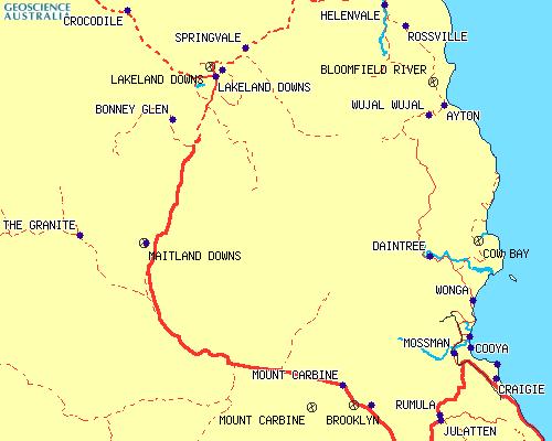
MT CARBINE
▼
LAKELAND
▼
ARCHER POINT
▼
COOKTOWN
▼
MT CARBINE
|
|
THANK YOU FOR BEING PATIENT WHILE THE PICTURES LOAD |
|
Day 28
Tuesday 6th September 2005 Click on the pictures for larger versions
|
|
||
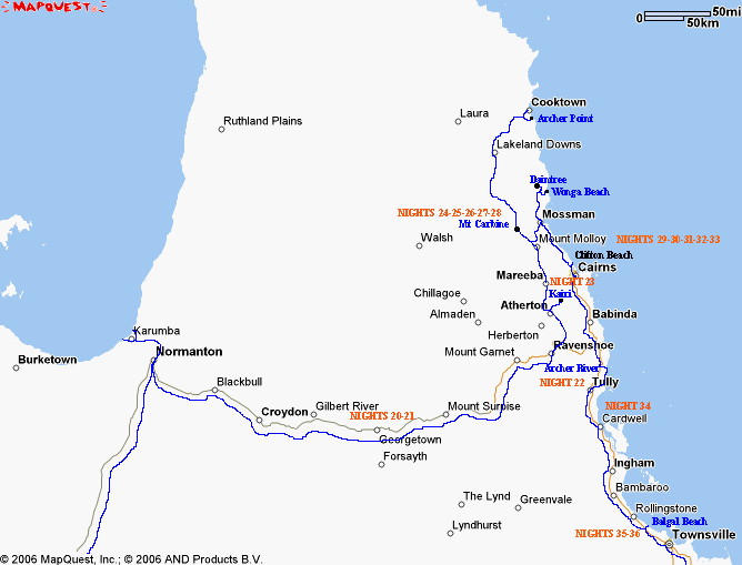
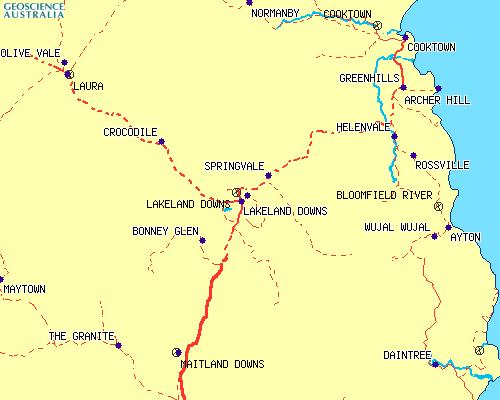
| Mt Carbine to Lakeland | ||
 |
||
Mt Carbine to Lakeland Thanks to Google Maps |
||
| This was the day
I had been looking forward to. The day we drove to Cooktown.
Cooktown had always been mysterious to me. An uncle had driven there many times in the past and told us how peaceful and isolated it was. From stories of his fishing expeditions, I had visions of a small village with a broken down shanty type of hotel and a jetty by the river, the Endeavour River, where, in my "Social Studies" in Primary School, we had been told Captain James Cook had repaired his ship after hitting a reef out to sea. Also I had been told of the pioneering road which could only be travelled in a 4WD drive vehicle. So, as we headed off from Mt Carbine I had a sense of trepidation, as we weren't in a 4WD vehicle. |
||
 |
 |
|
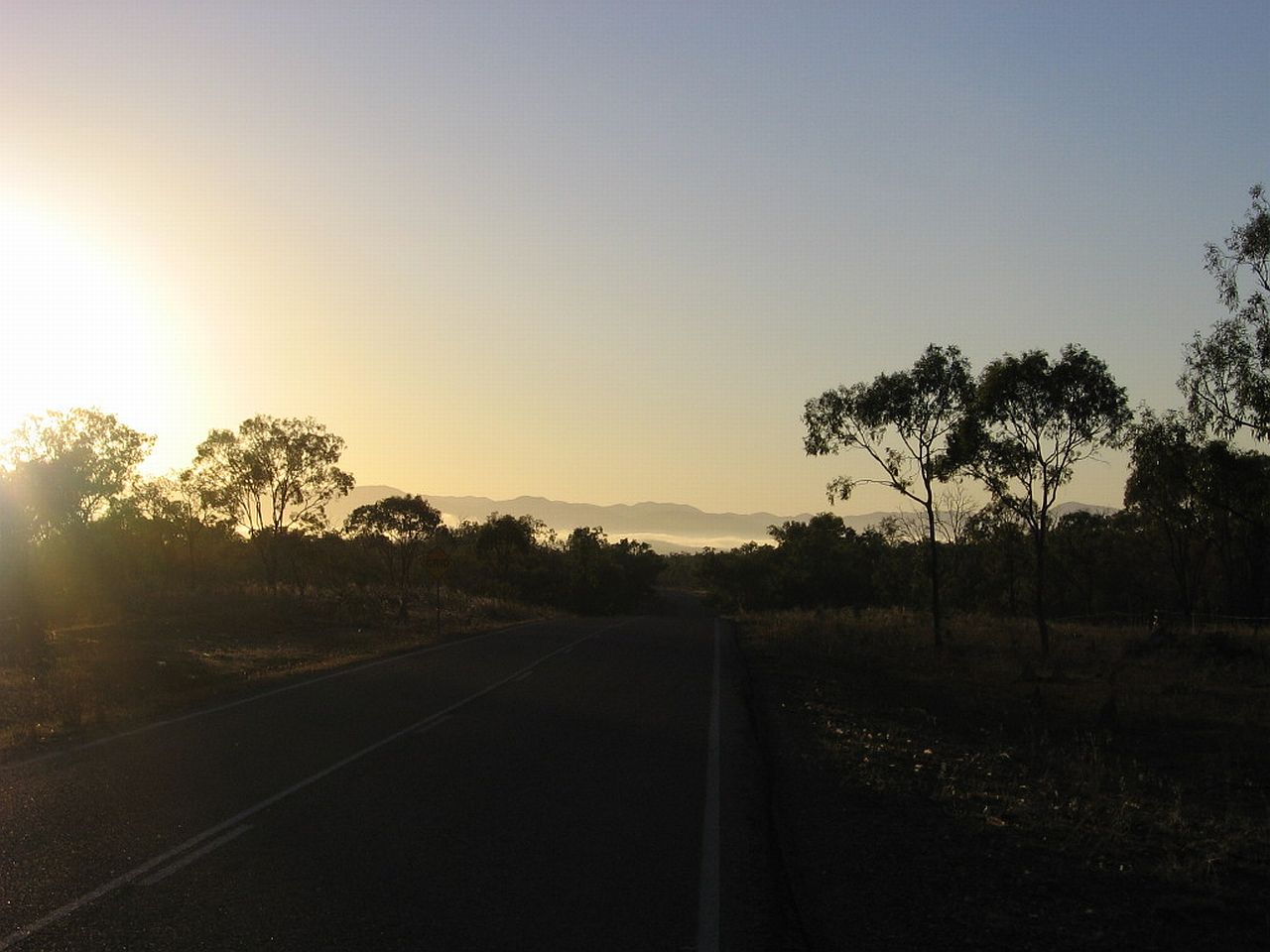
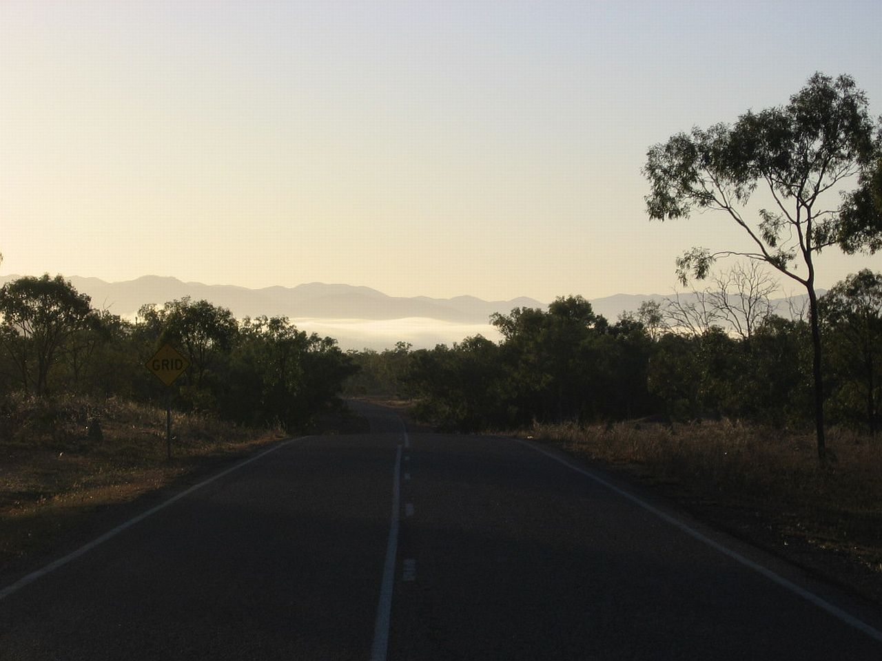
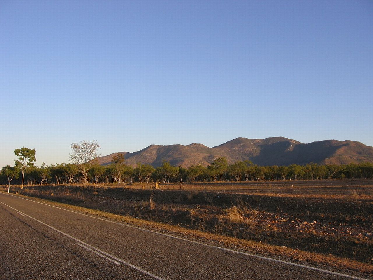
| 6.44am | 6.45am | |
The pictures below were taken looking towards our destination, Cooktown. The mountain in the left picture, I've since learned, is Mt Elephant. On the right is the range we were about to climb. |
||
 |
 |
|
| 6.45am | 6.45am | |
|
Below, thanks to Google Earth, is the range. As with all other pictures, click on it for a larger view. |
||
 |
||
|
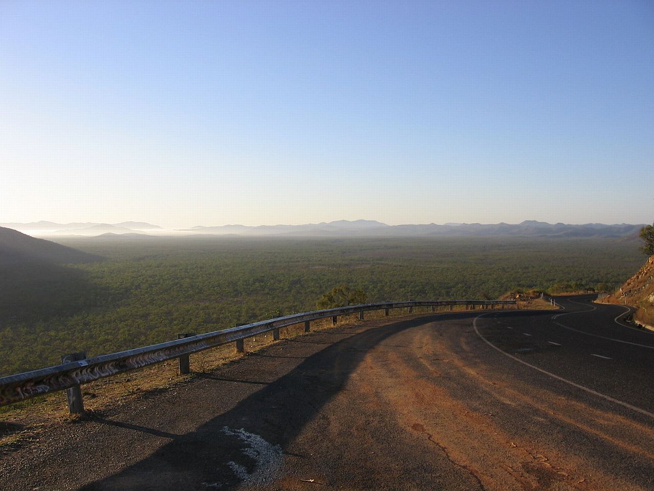
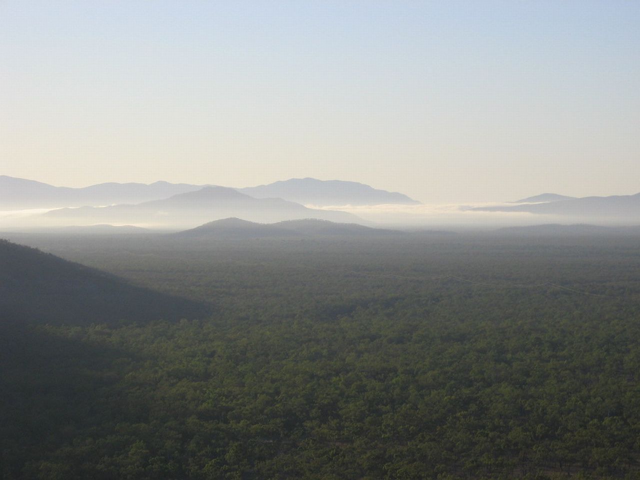
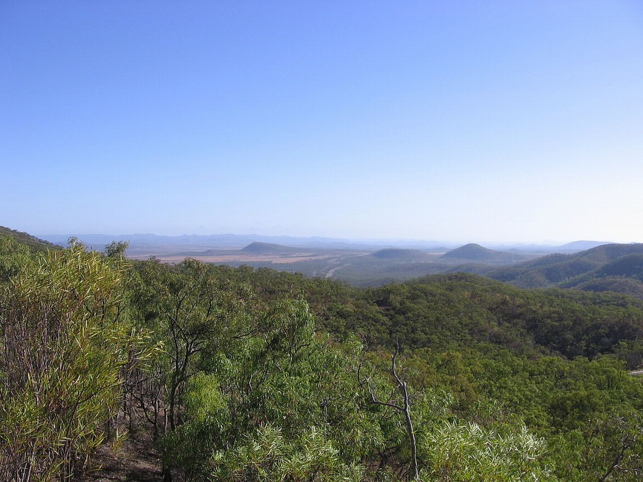
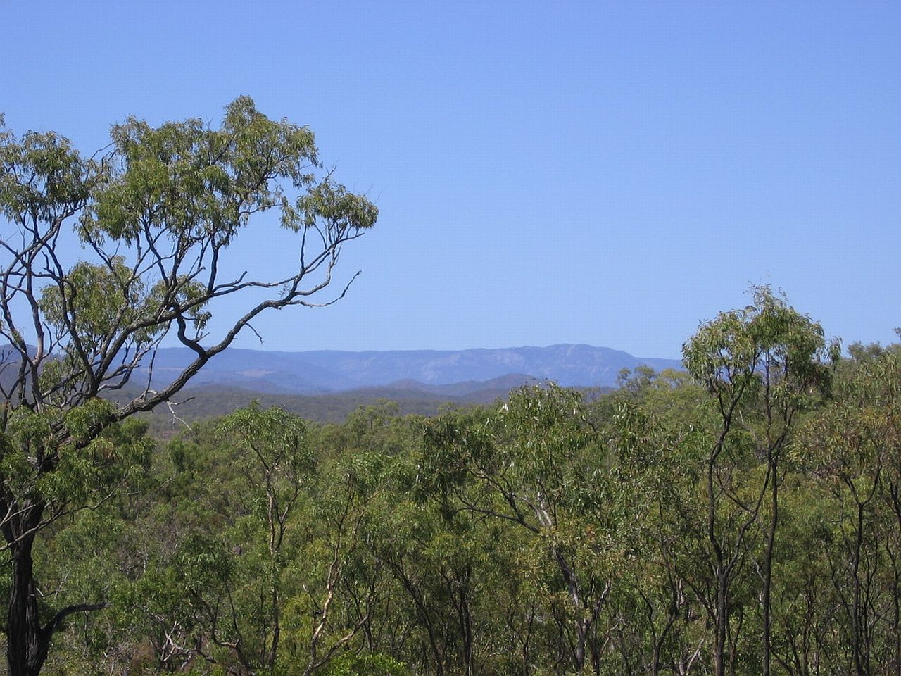
As we climbed the range, the spectacular scenery below opened up to us. We stopped a Bob's Lookout. The sun wasn't quite high enough to be seen above Mt Elephant. I couldn't help taking shots looking back at the valleys and ranges. Mt Carbine was nestled in the mist in the distance. |
||
 |
 |
 |
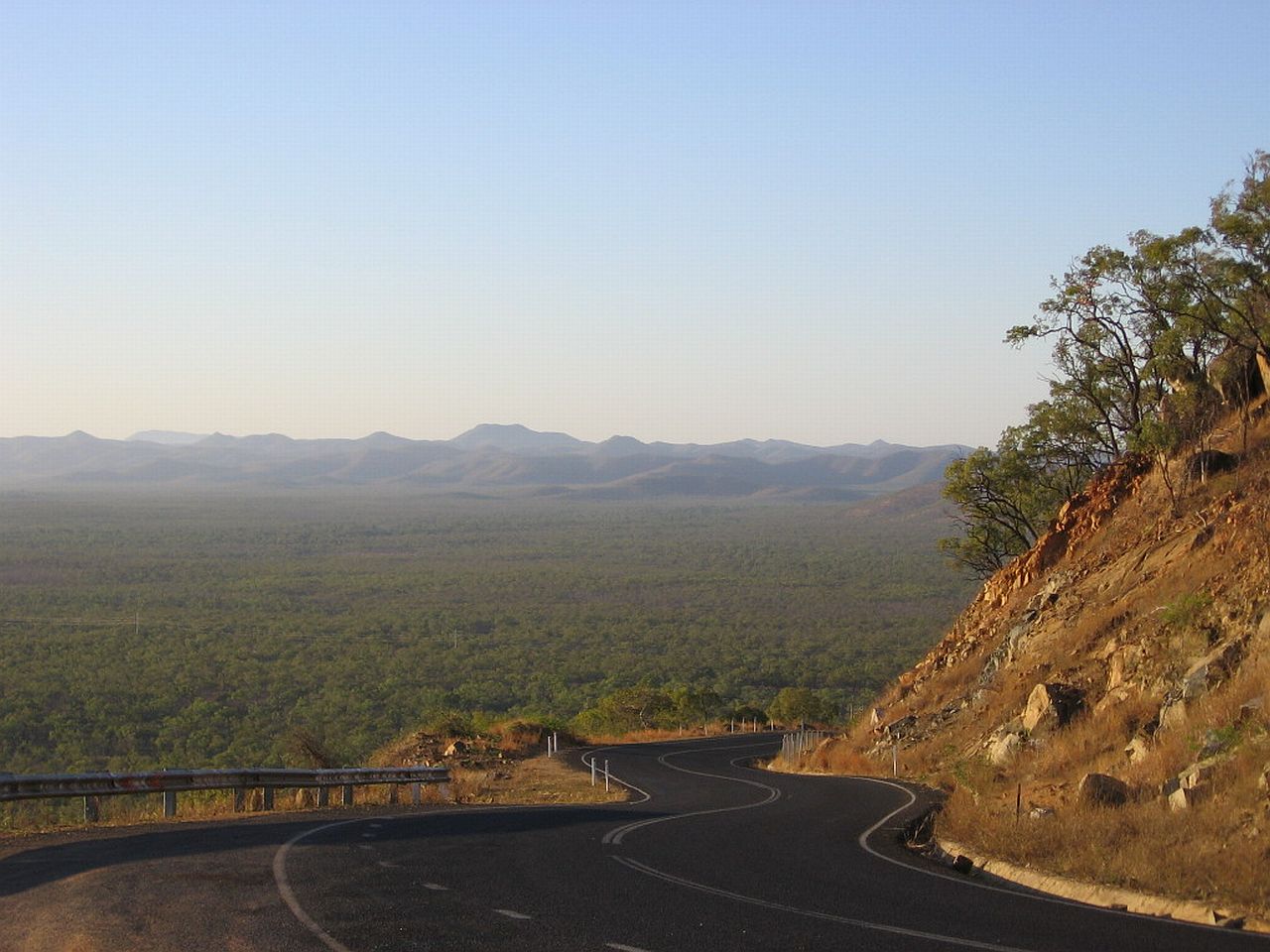
| 6.57am | 6.57am | 6.58am |
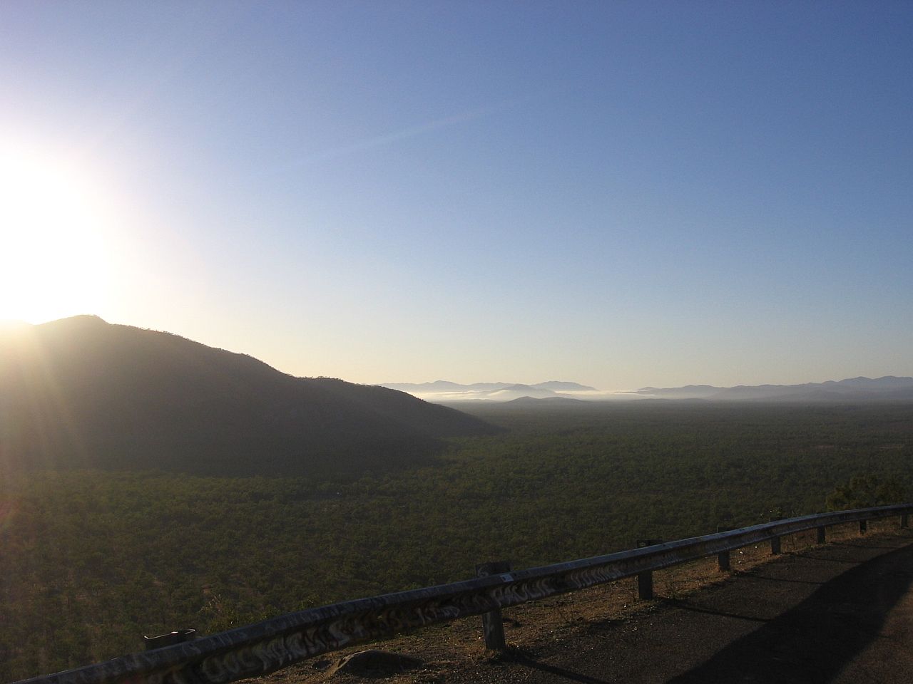
As I stood soaking up the beauty around me, the sun peeked over Mt Elephant. |
||
 |
 |
|
| 6.58am | 7.01am | |
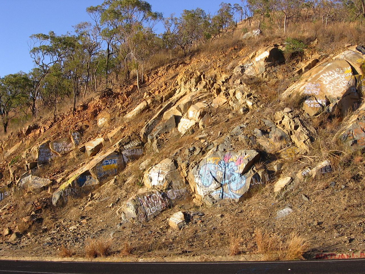
The bright, early morning sun shone on the rocks on the edge of the road. For good or for bad, it highlighted the messages left by past visitors. |
||
 |
||
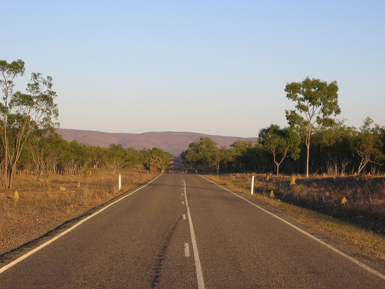
| 7.02am | ||
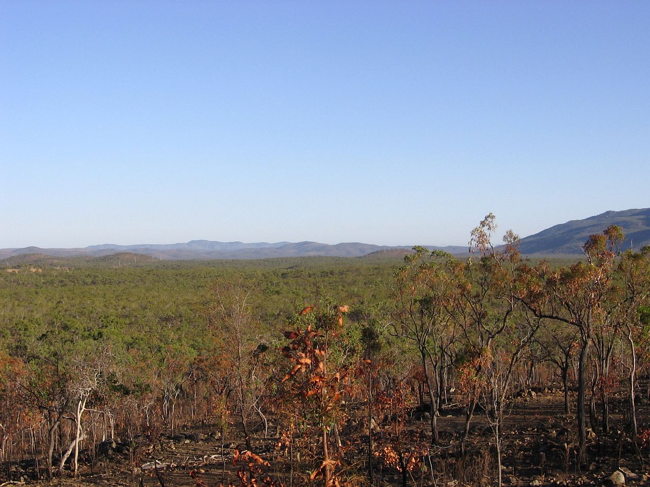
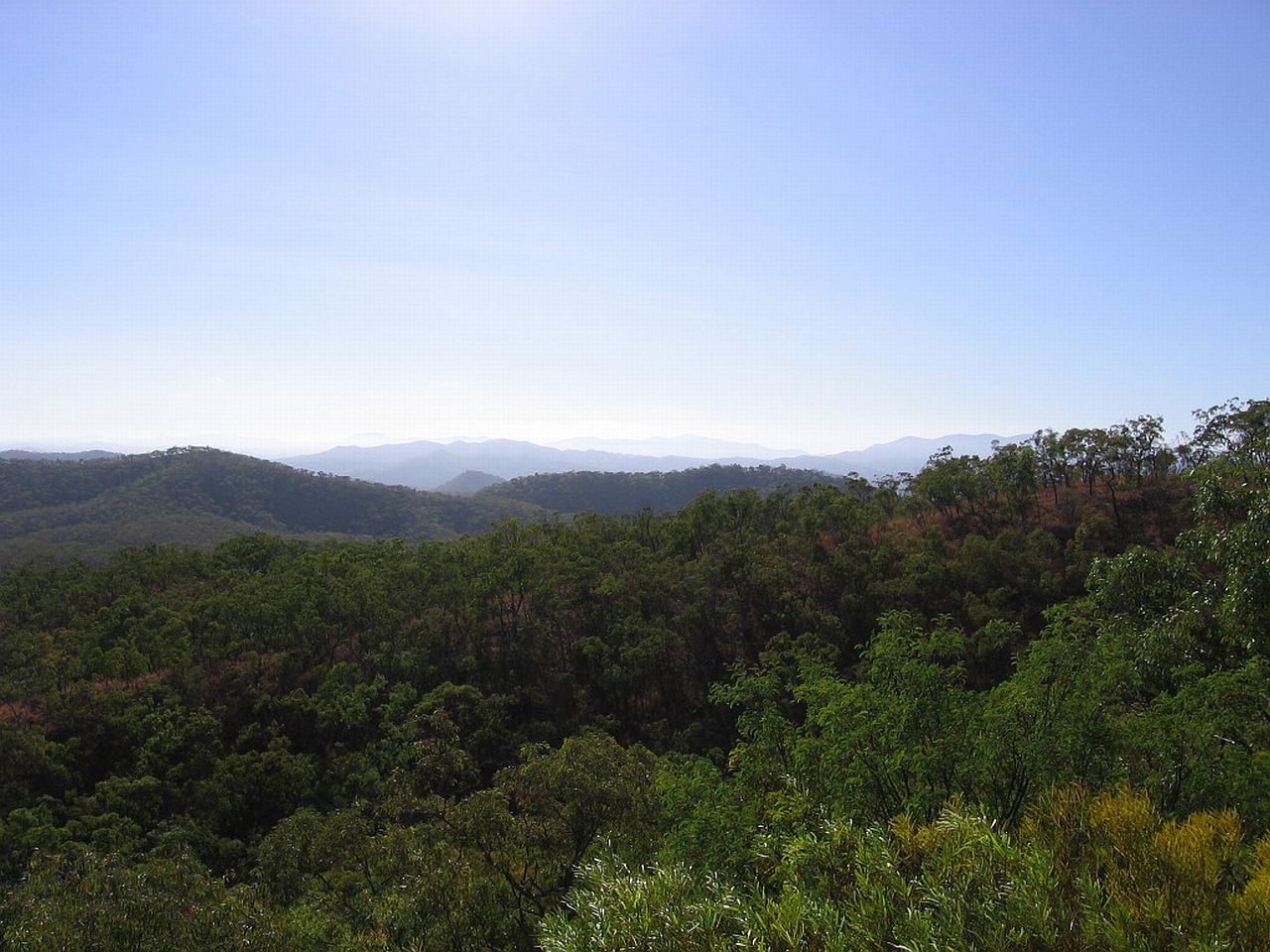
After we crossed the range, this was the view of the road ahead. Muffy and I walked back up the road and into the bush and I tried to get some sort of feel in pictures of what my eyes saw. Below is the best I could do with the type of camera and lens I had. It doesn't do justice to what I saw. The air was crisp and clear and it seemed you could see forever. |
||
 |
 |
 |
| 7.25am | 7.25am | 7.25am |
Muffy ran ahead of me as I made my way back to Judy and mum at the van, just past the bridge. In all of the time we stopped, not one car came past. |
||
 |
||
| 7.30am | ||
The idea of a "pioneering" road was soon lost as we travelled further north. The road was brilliant. |
||
 |
 |
 |
| 8.23am | 8.23am | 8.24am |
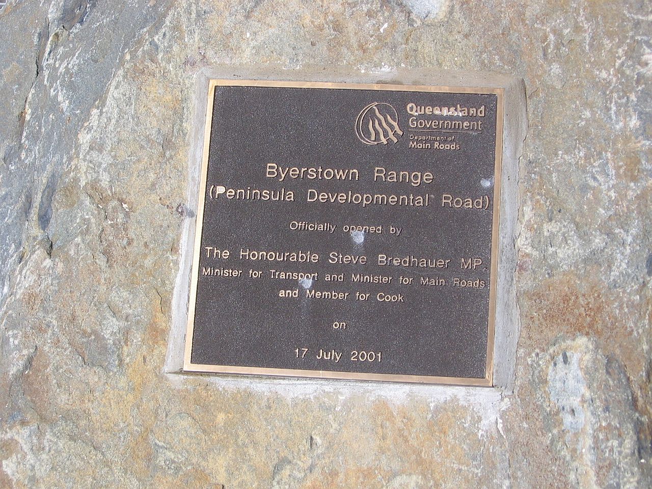
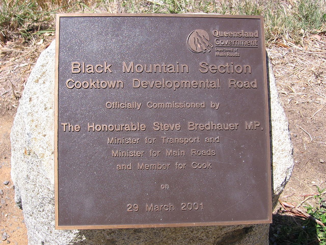
The plaque at this lookout explained it all. It was a "developmental road". |
||
 |
||
| 8.26am | ||
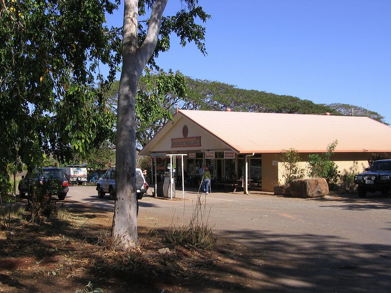
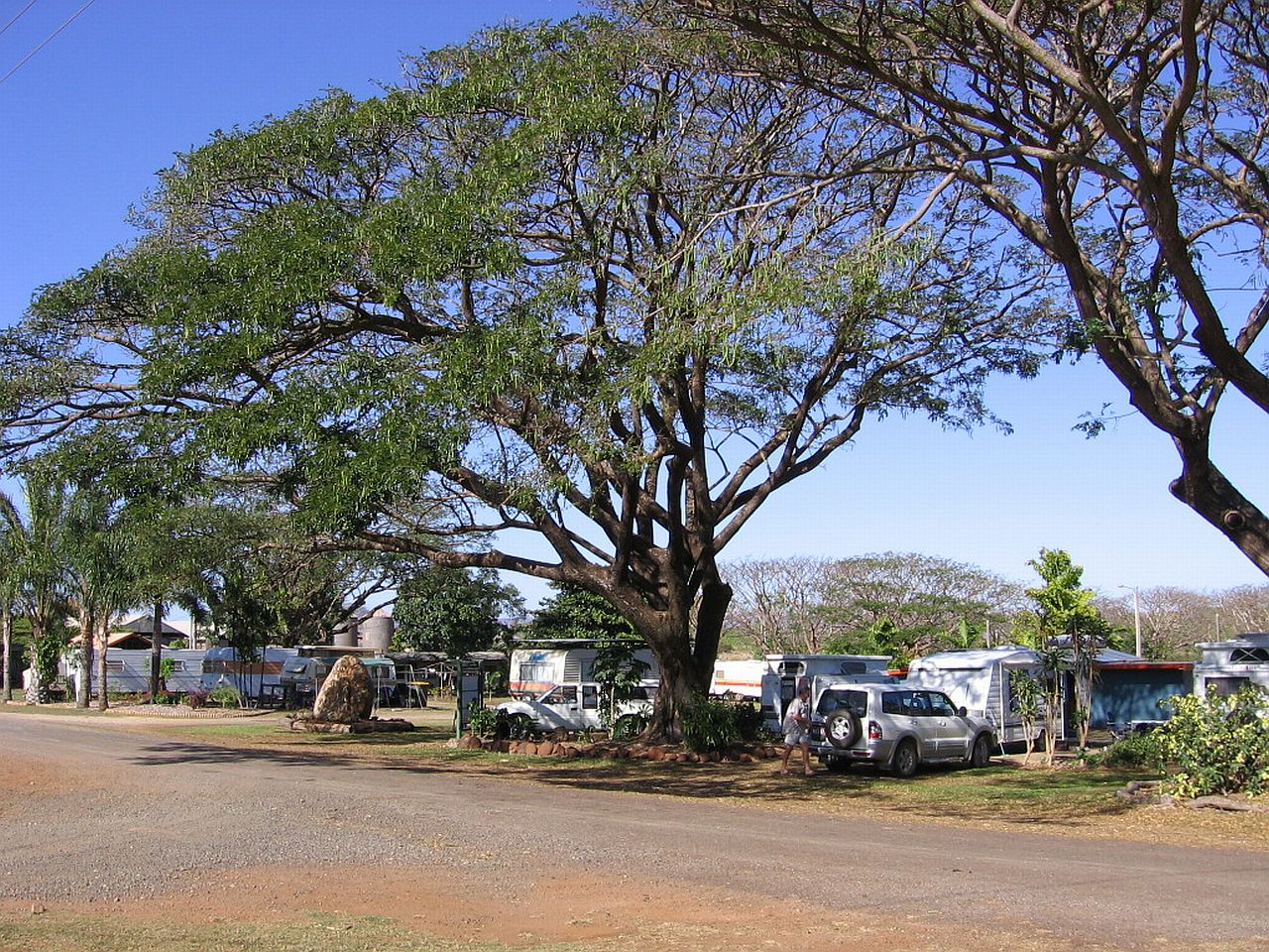
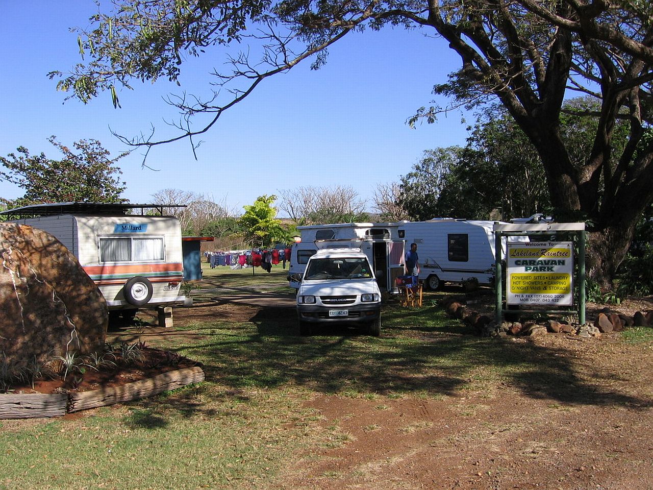
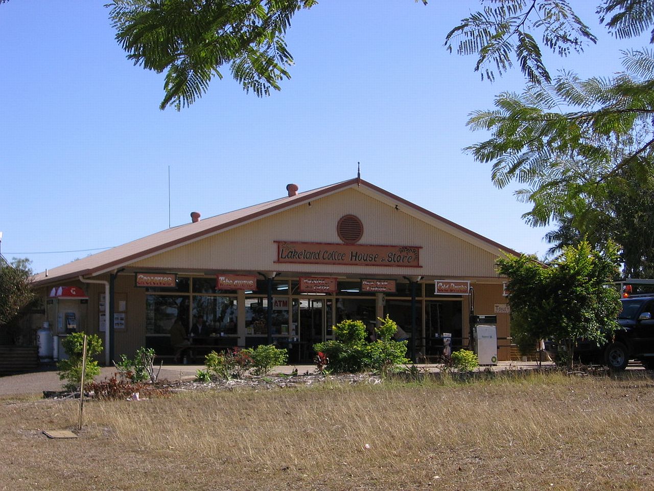
Coming out of the range, we came across a small settlement, Lakeland. |
||
 |
 |
 |
| 8.57am | 9.00am | 9.01am |
After looking around the settlement, we decided to have a cuppa at the Lakeland Coffee House & Store. Mum bought a book on the early pioneers of the area and we bought a sample of the coffee produced in the area. |
||
 |
||
| 9.02am | ||
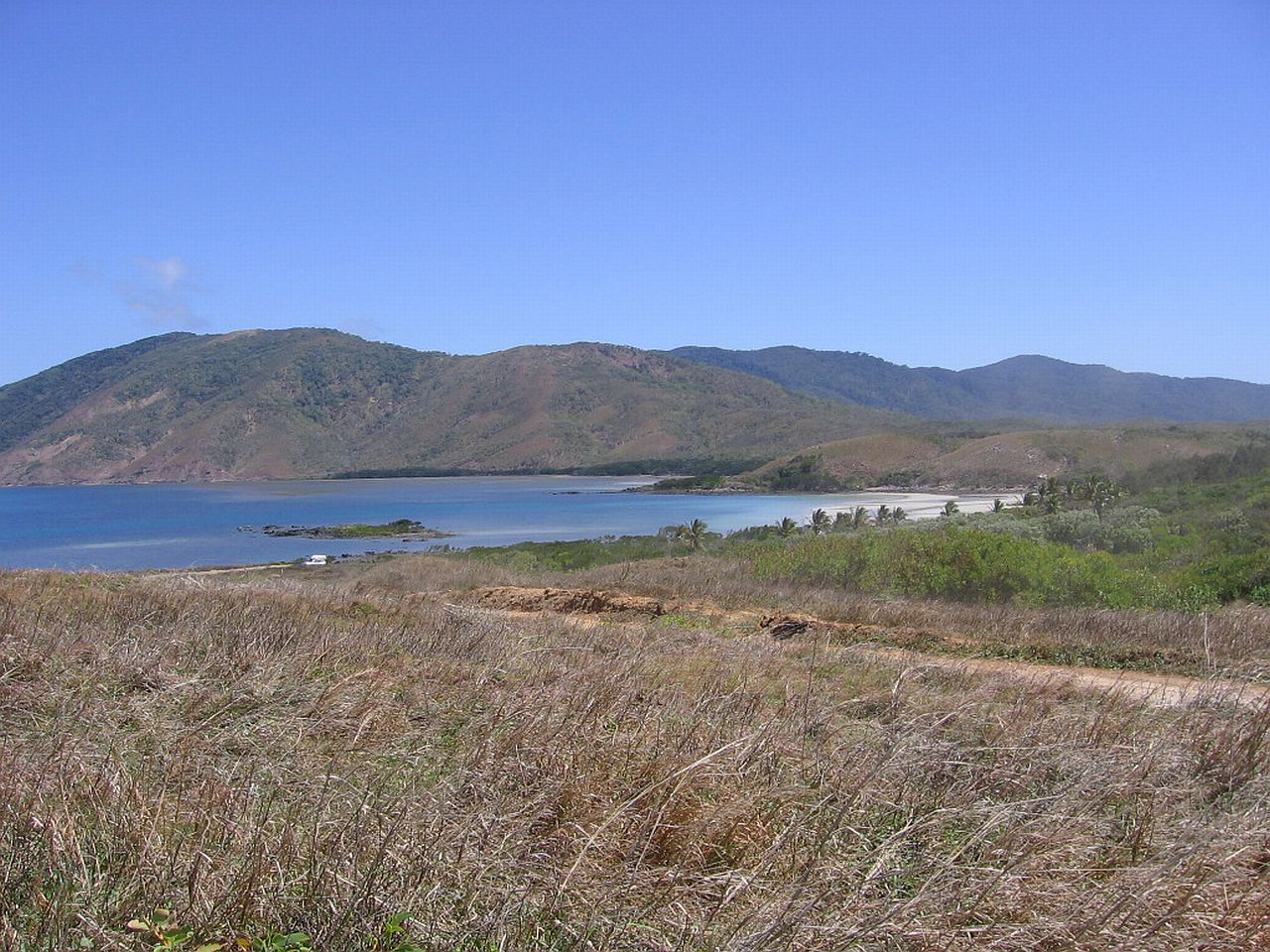
| Lakeland to Annan River - Black Mountain - Archer Point - Cooktown | ||
 |
||
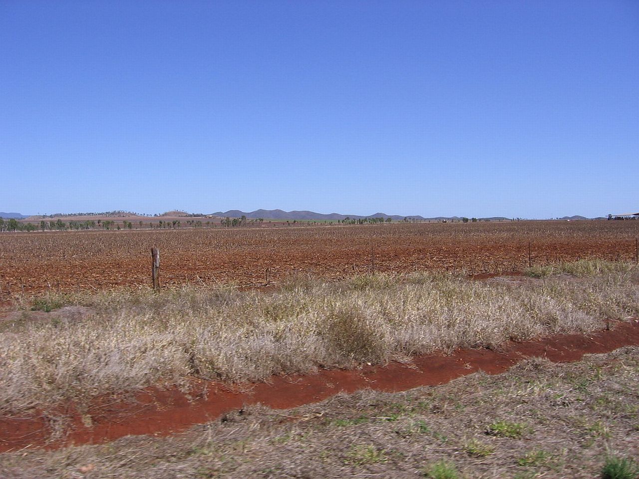
The soil just north of Lakeland reminded me very much of the Kingaroy district, very reddish. The dogs reminded us that they needed a stretch, so we pulled over and I took the shot in the centre and right looking off towards where I assumed the coast was. The road was extremely good so far. |
||
 |
 |
 |
| 10.25am | 10.29am | 10.32am |
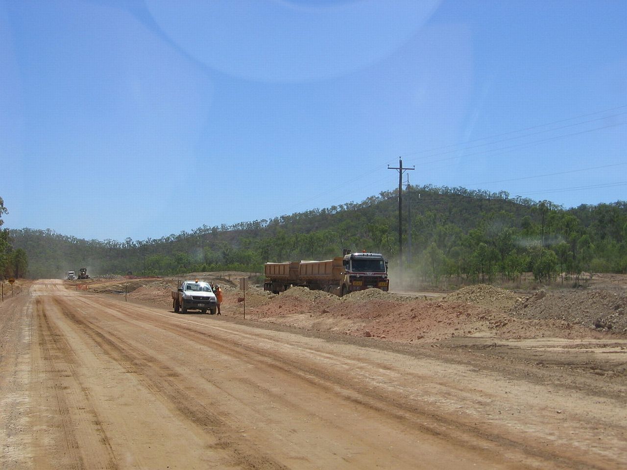
Our good road ran out about 30 minutes later as we came across major roadwork, being the final section before Cooktown. |
||
 |
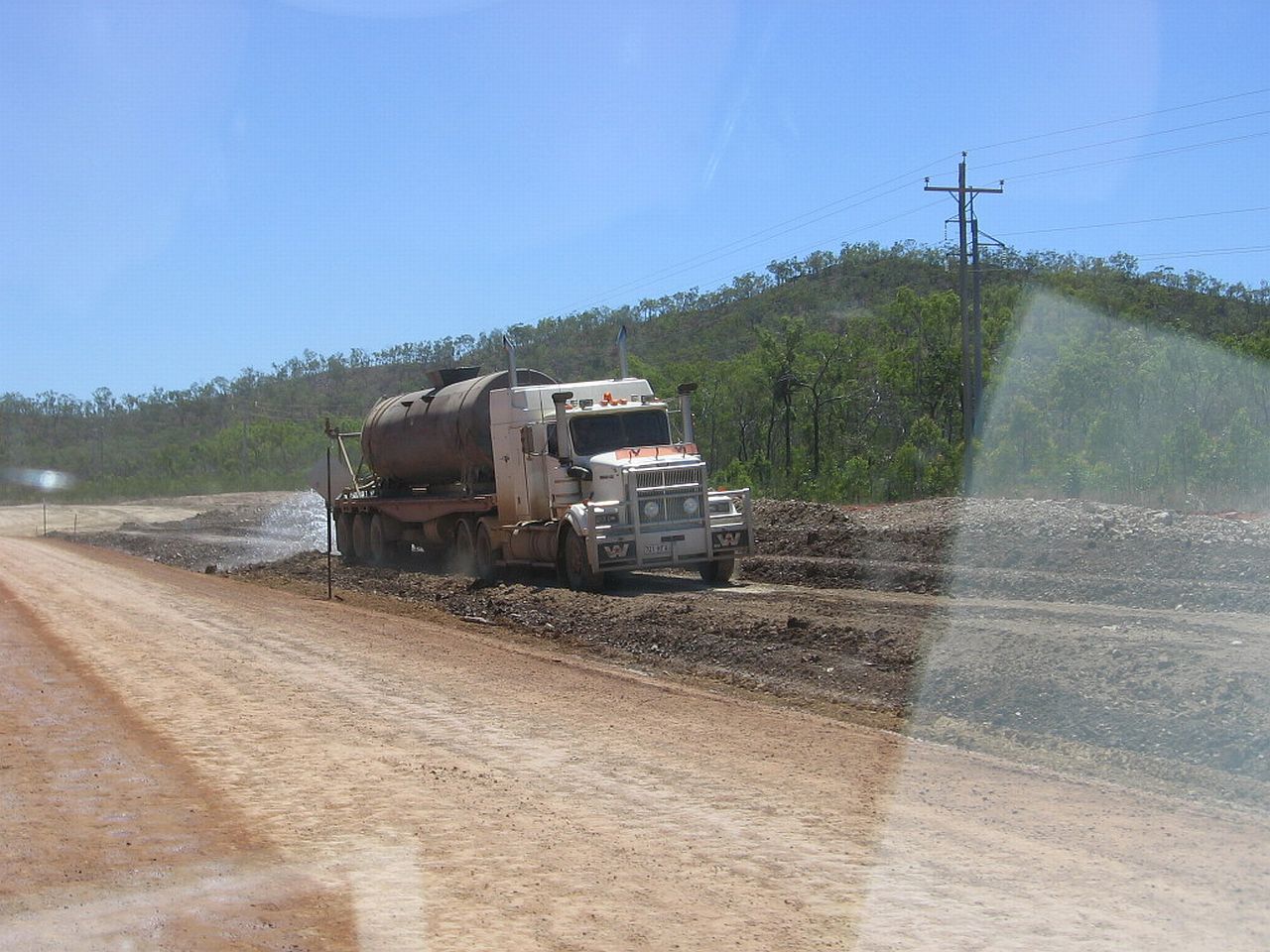 |
 |
| 11.00am | 11.00am | 11.04am |
After the roadwork, the road turned into similar to the picture on the right, which was still easily driven over. |
||
 |
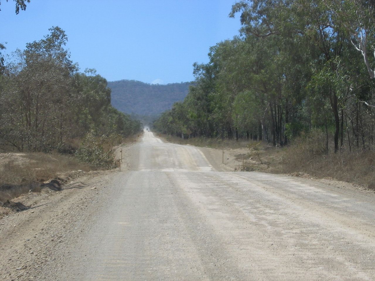 |
|
| 11.05am | 11.06am | |
| Annan River | ||
This river came up on me without much notice. I was taken by the rock colours and how jagged they were. These shots were taken from the drivers seat, out of the passenger window. I had to stop on the bridge to get them. Luckily no traffic was following. Since, I've found there is a gorge, Annan Gorge, not far down the river from where I took these pictures, which is a popular tourist spot. |
||
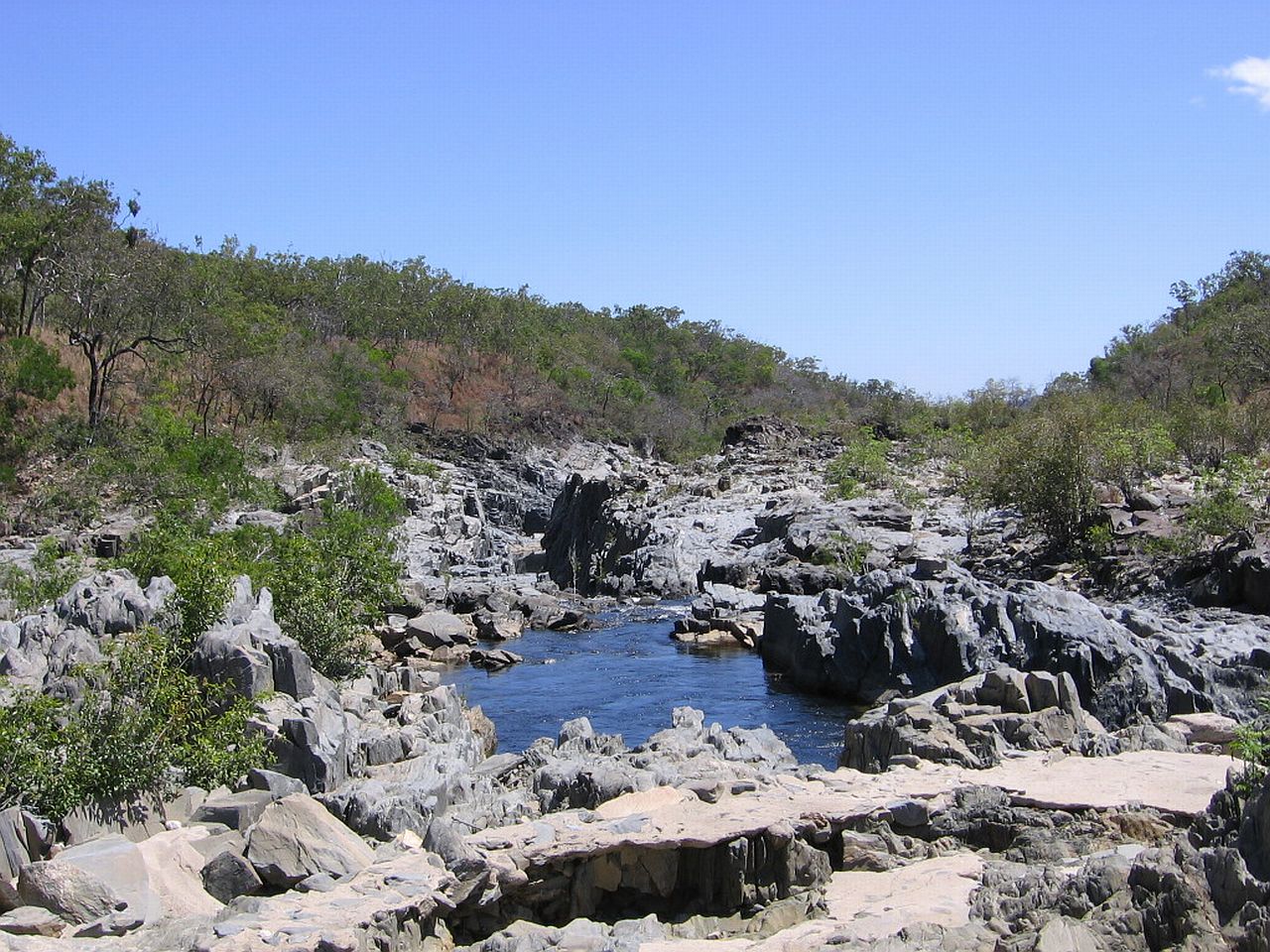 |
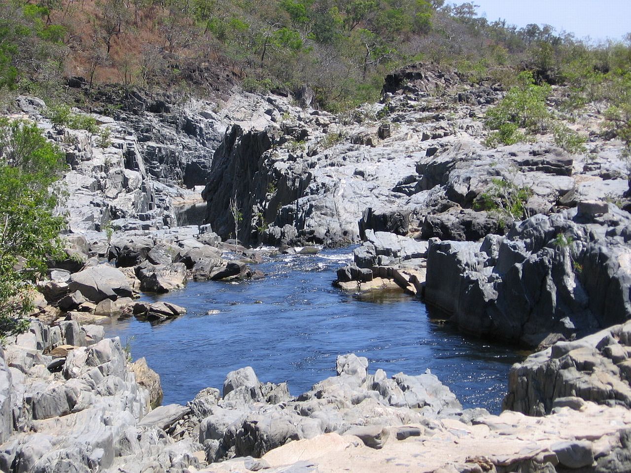 |
|
| 11.24am | 11.24am | |
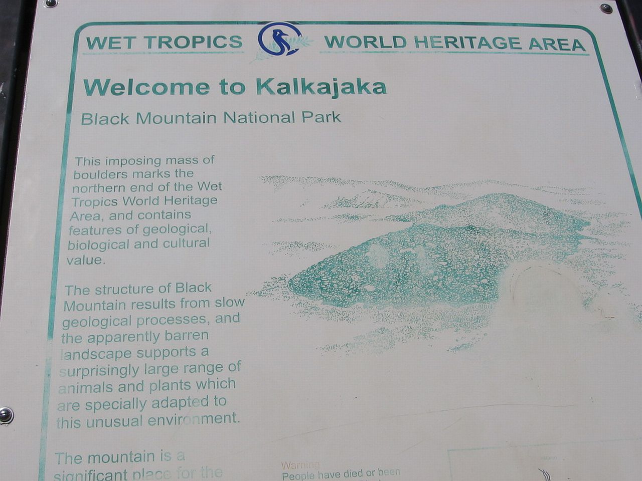
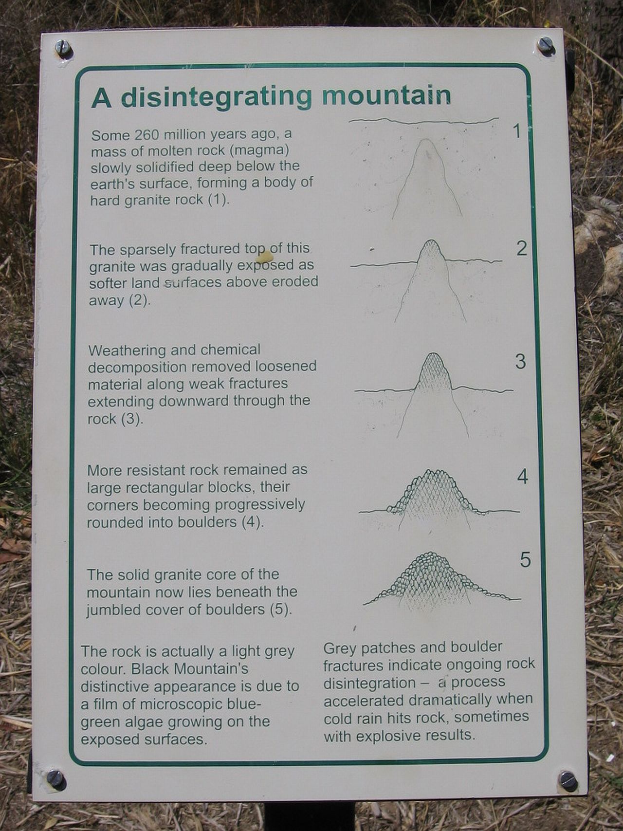
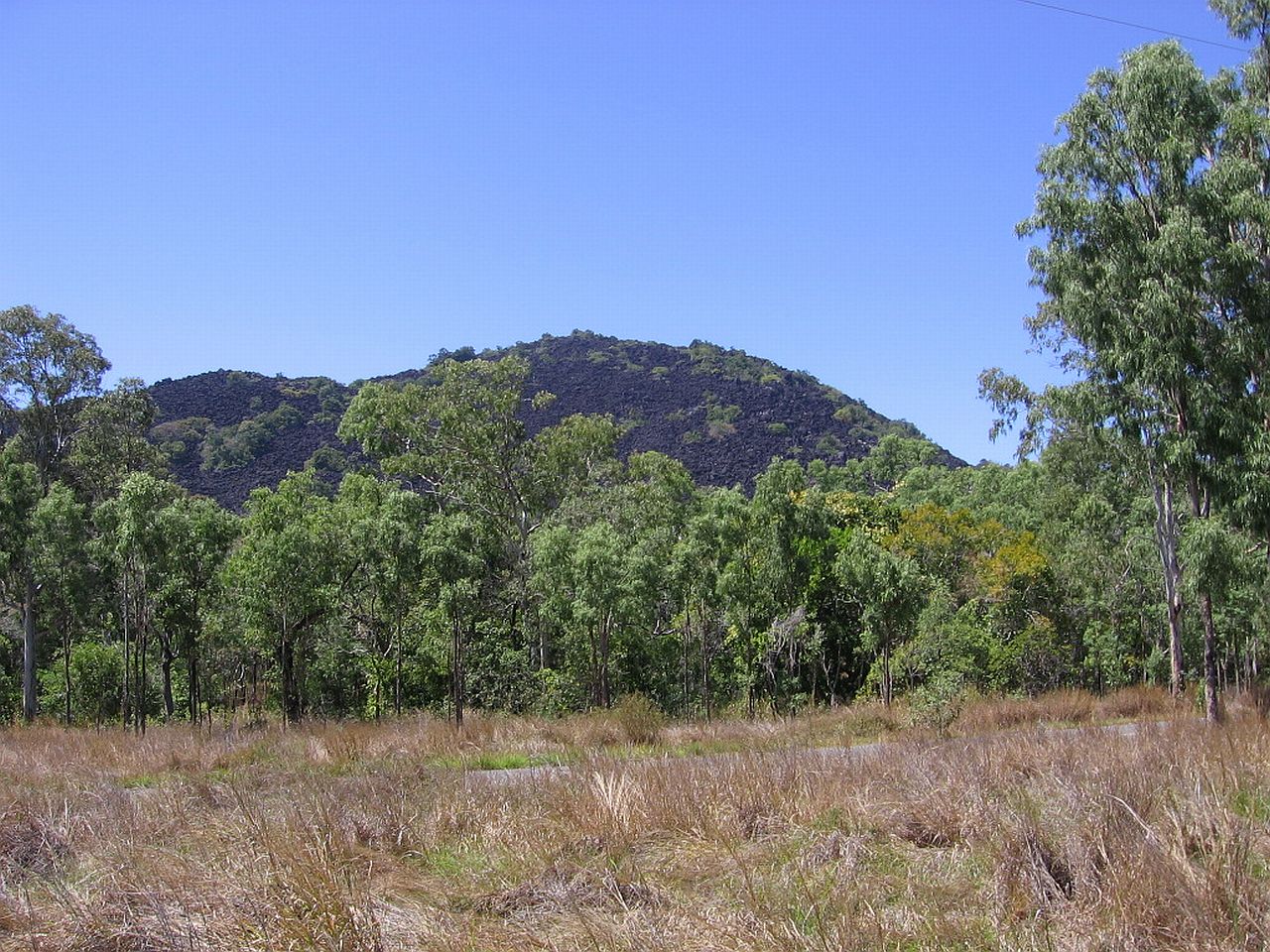
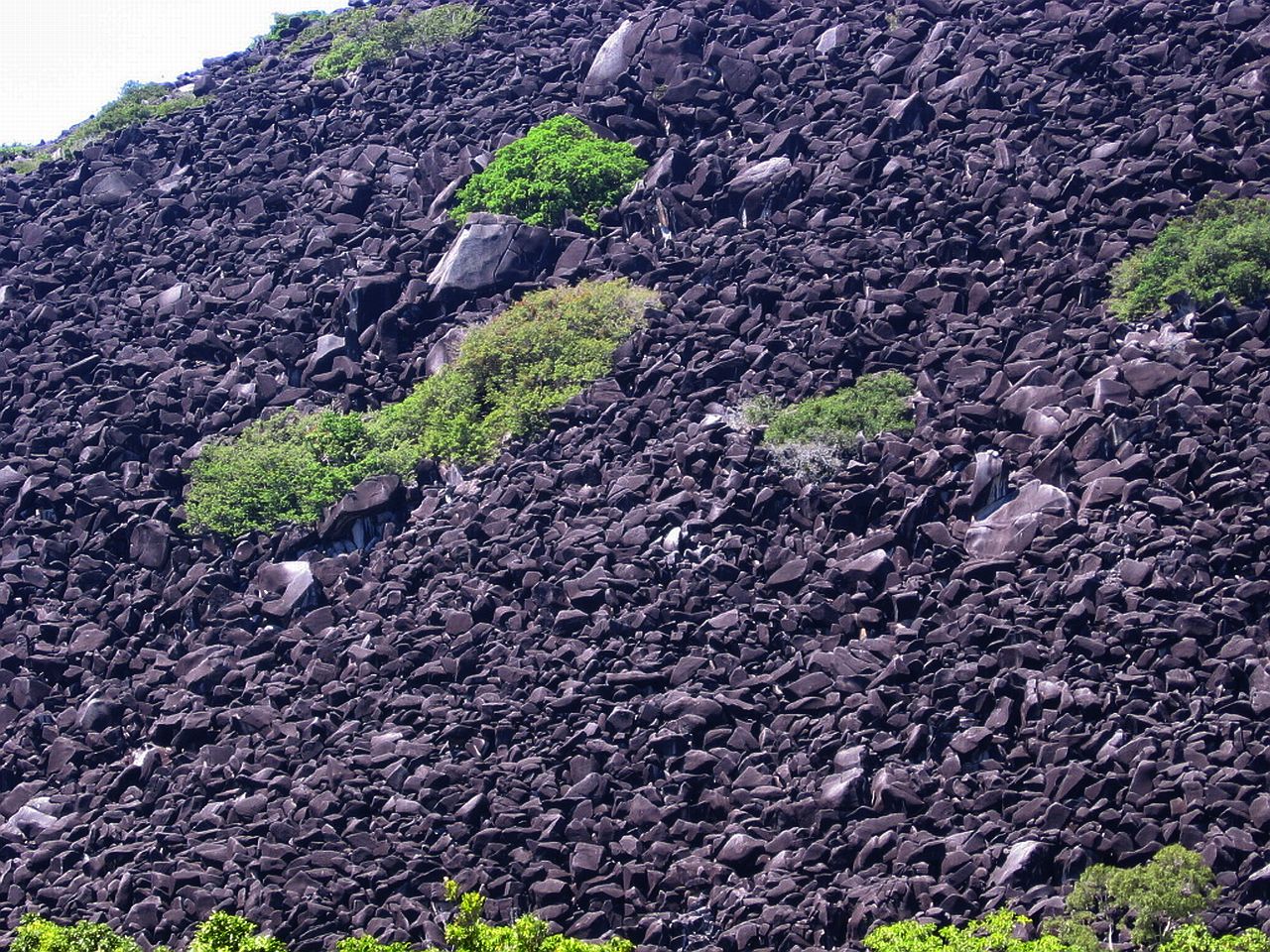
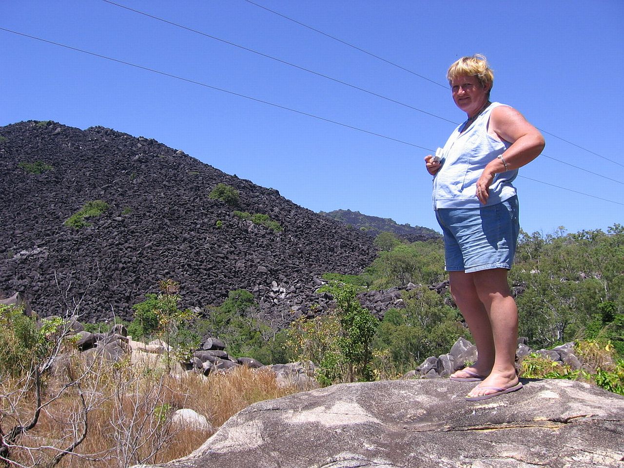
| Black Mountain | ||
The surroundings started to change into what looked like piles of discarded rocks, as though some huge mining operation had taken the soil and left the rubble. I stopped and took photos of the surrounding trees and hills with these black/grey rocks, not knowing what was up ahead. The rocks became closer and closer to the road until we saw a huge pile of these rocks and a parking area. The information below explains it all. |
||
 |
 |
 |
| 11.44am | 11.44am | 11.45am |
I found it really difficult to get the true colour of the rocks. They are very black to the human eye, mine anyway, but the camera freaked out and wanted to give them a lighter colour. Below is the best I could do. |
||
 |
 |
 |
| 11.30am | 11.42am | 11.51am |
Judy was fascinated also. :) |
||
 |
||
| 11.51am | ||
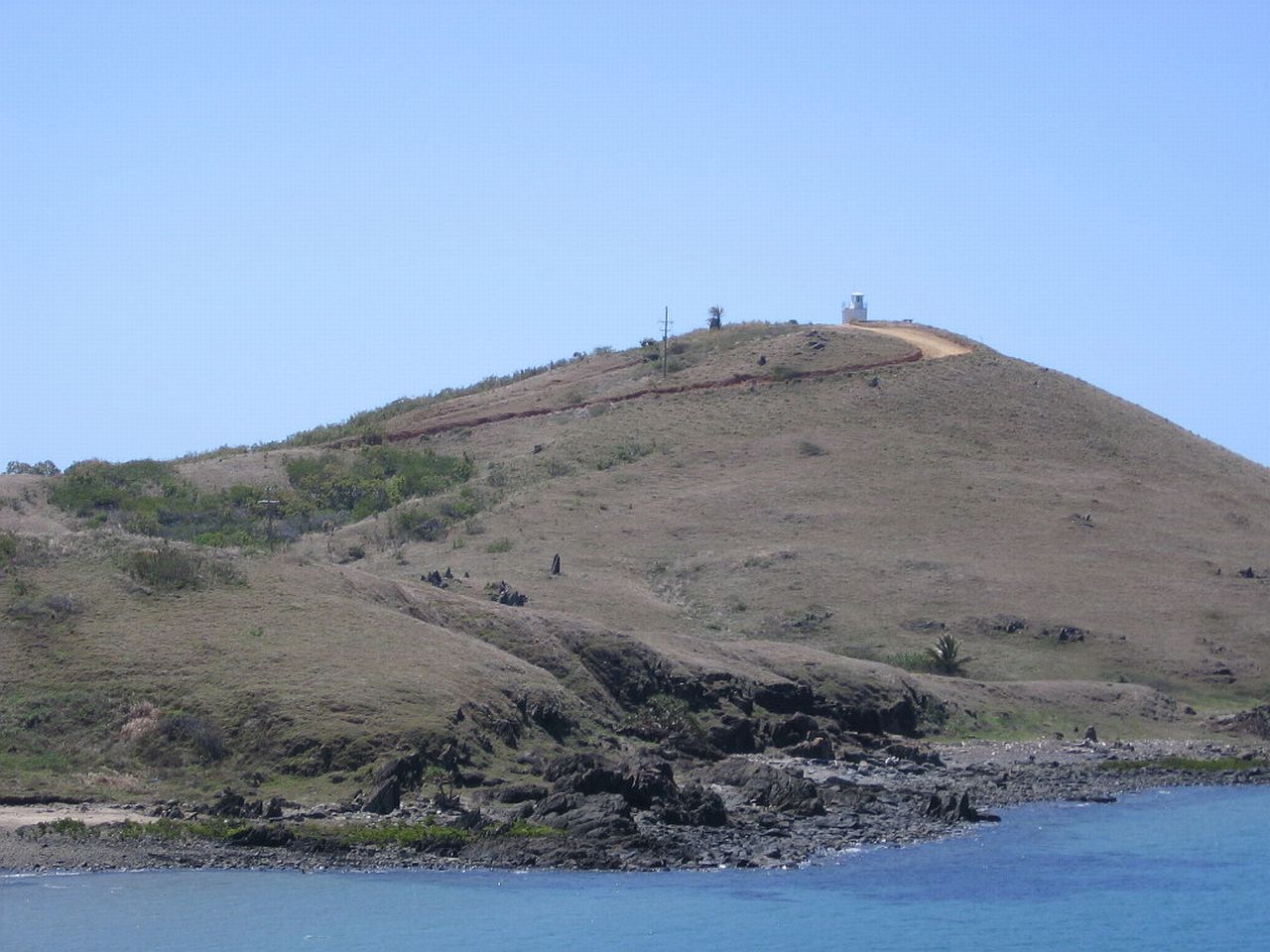
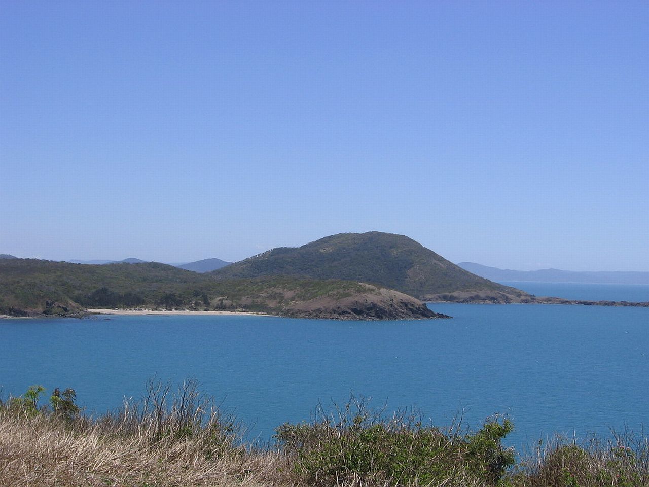
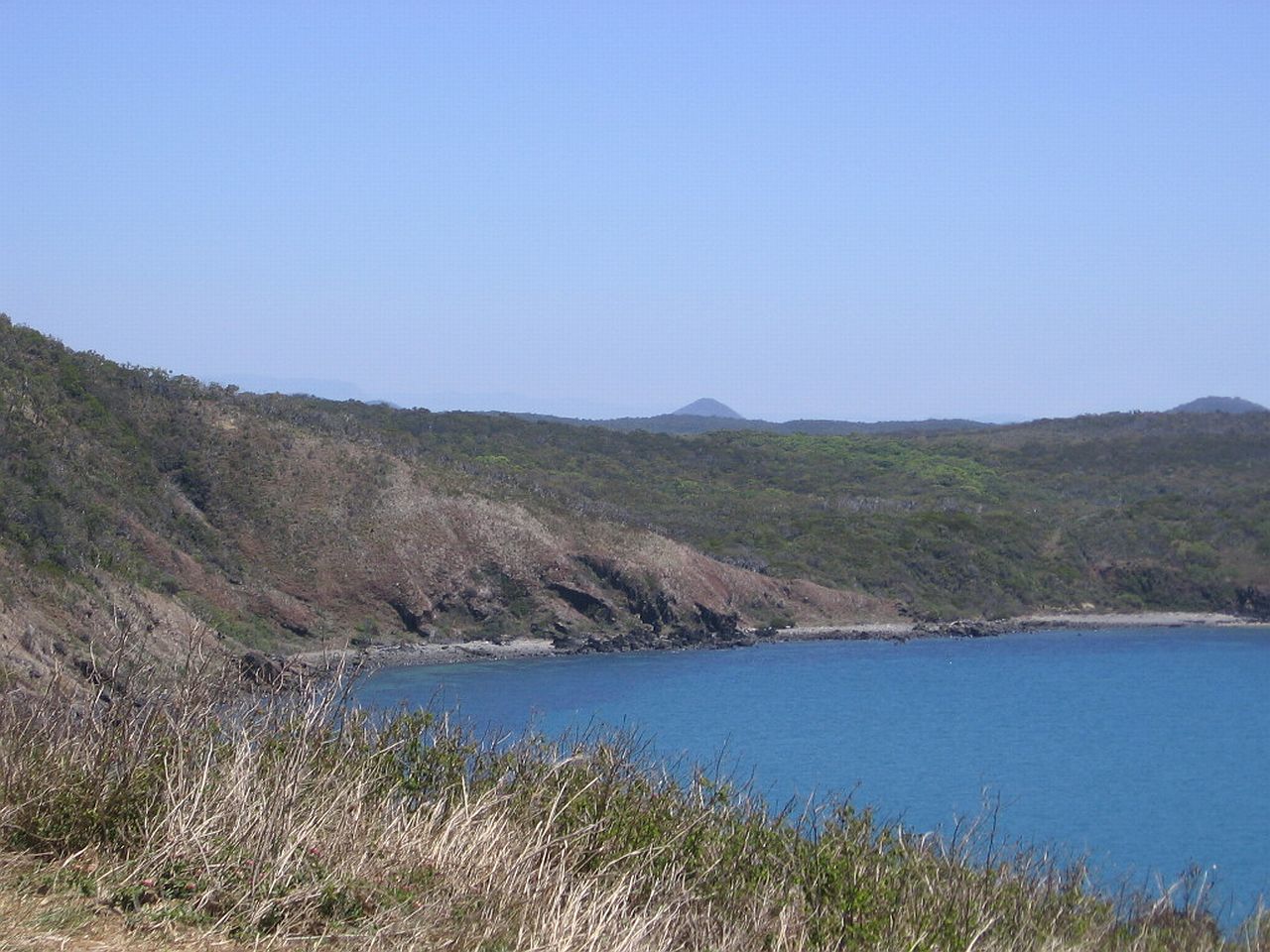
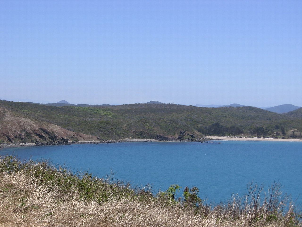
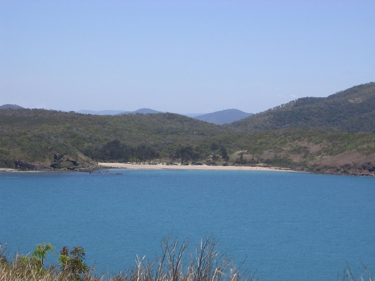
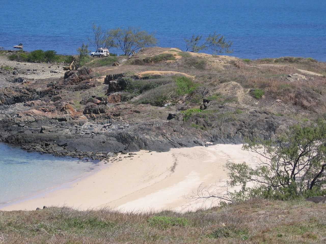
| Archer Point | ||
When we were camping at Mt Carbine Caravan Park, we met a really friendly permanent resident. Among other things, he told us to make sure we visited Archer Point when we travelled to Cooktown. He said it was what made the trip worth doing. I took his advice and he certainly was correct. In Cooktown, someone told us we were very lucky to have seen it as we did, as according to him, it's normally a very windy, miserable place. The day we were there it was perfect. The colours were vivid and the view, brilliant! Travelling in the Daihatsu Delta caused a bit of drama at one
stage though. |
||
 |
||
| 1.13pm | ||
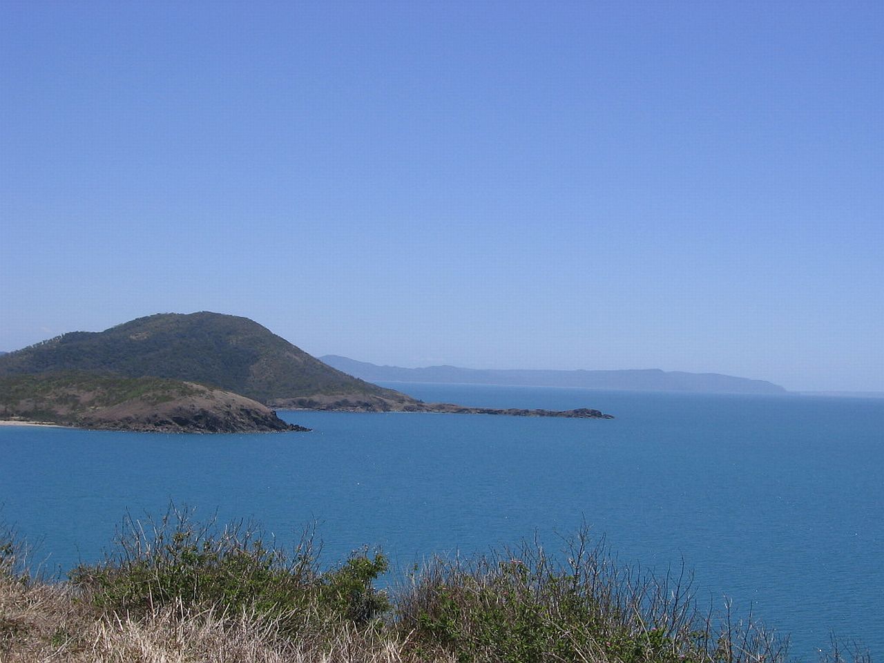
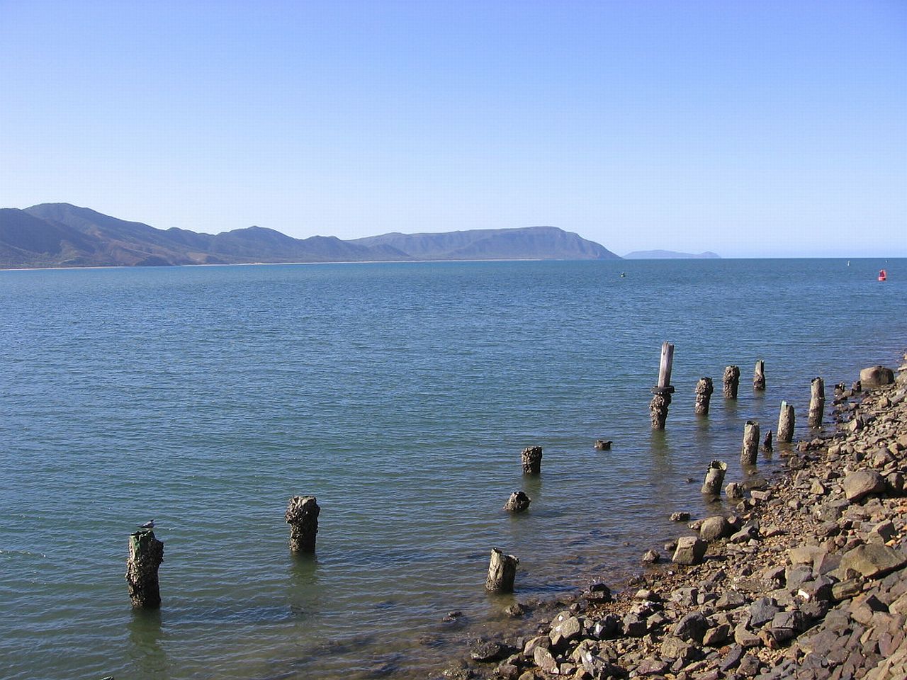
While at the top though, the views were spectacular To the far North. |
||
 |
 |
 |
| 12.29pm | 12.29pm | 12.29pm |
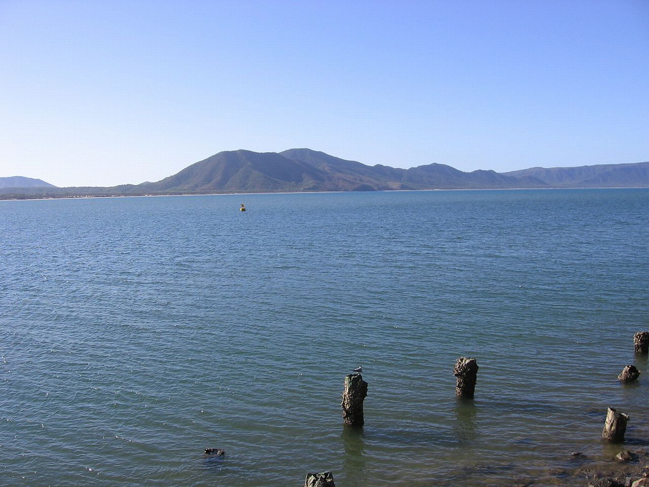
To the near North/North West. |
||
 |
 |
 |
| 12.29pm | 12.29pm | 12.29pm |
 |
||
| 12.34pm | ||
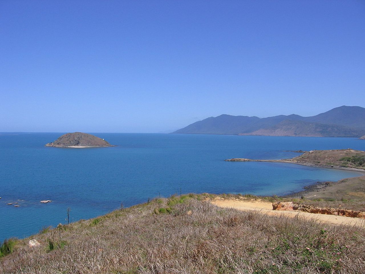
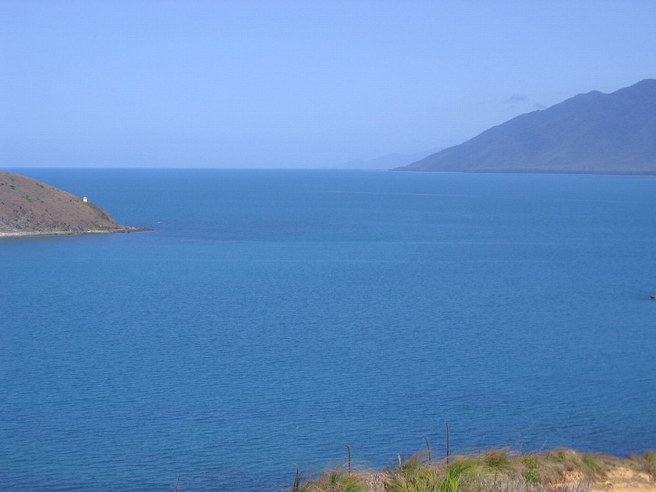
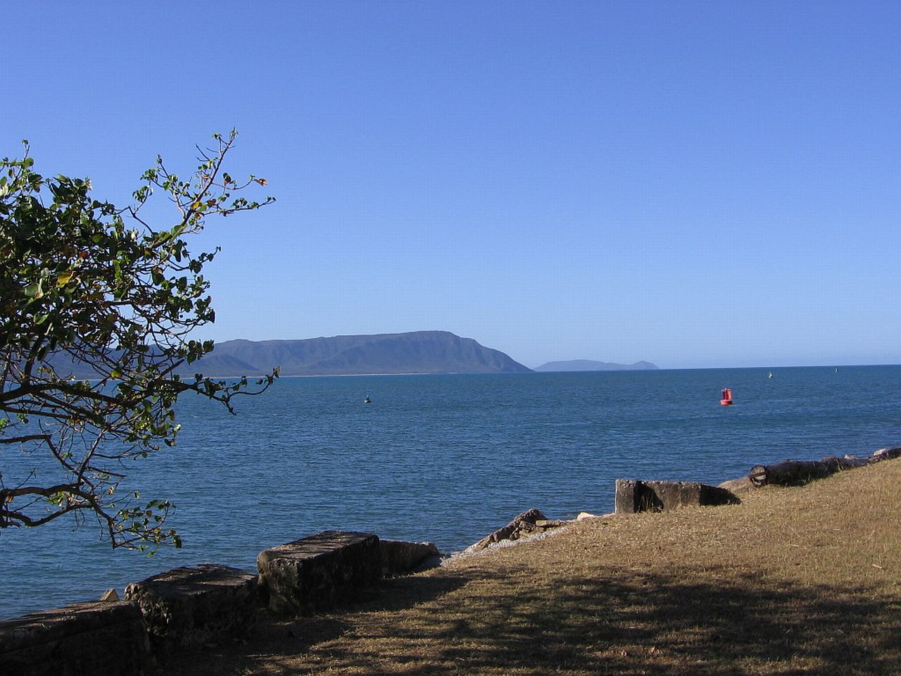
To the East/South East. |
||
 |
||
| 12.46pm | ||
To the South East
|
||
 |
 |
 |
| 12.31pm | 12.31pm | 12.30pm |
| To the
South |
||
 |
 |
 |
| 12.31pm | 12.31pm | 12.33pm |
An old jetty. |
||
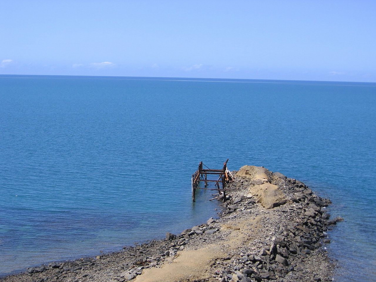 |
||
| 1.12pm | ||
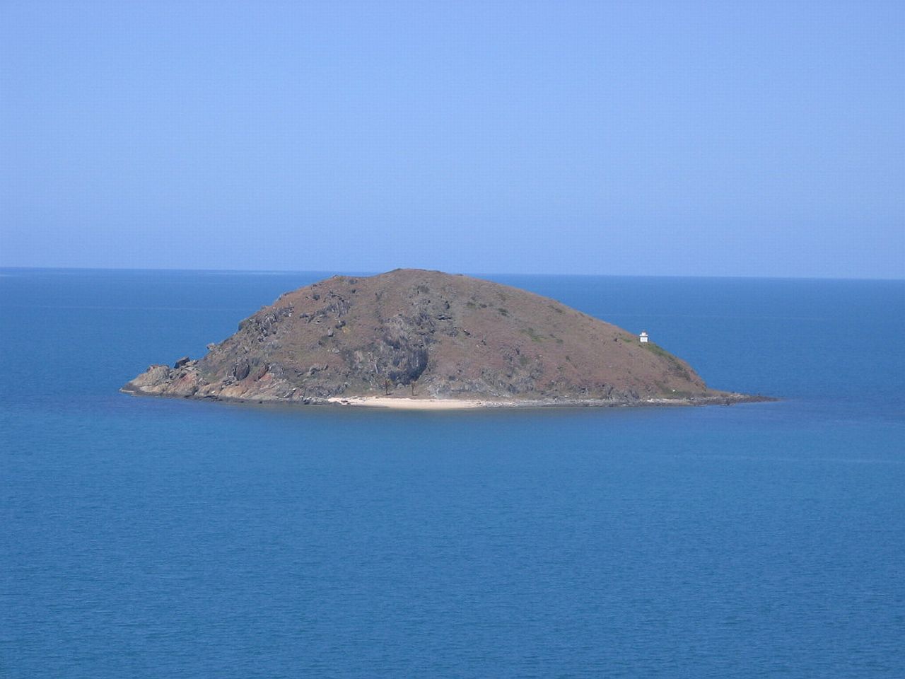
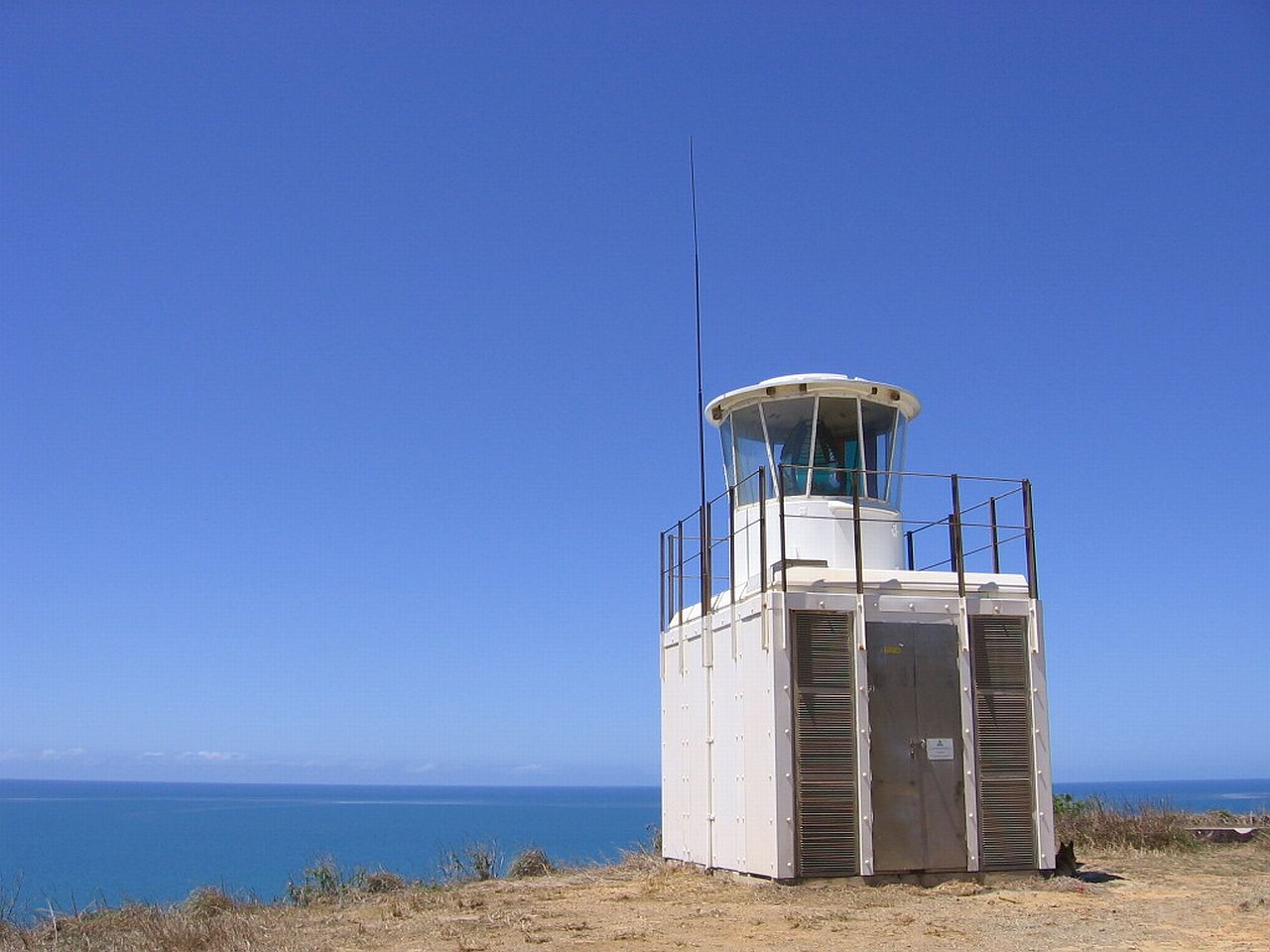
Archer Point Lighthouse. |
||
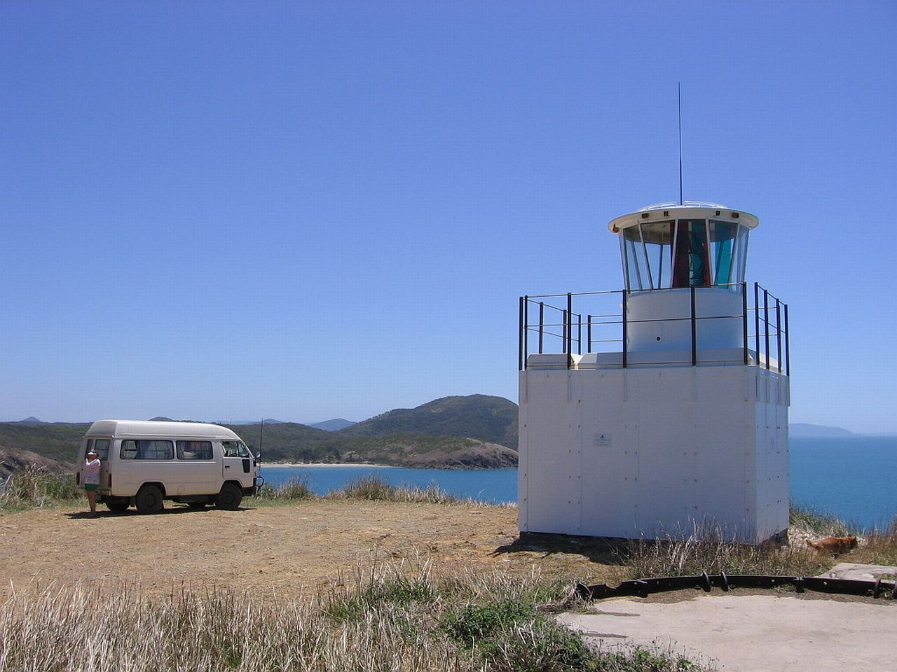 |
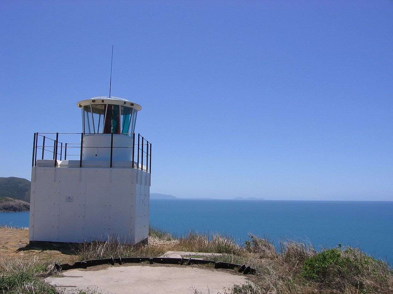 |
|
| 12.32pm | 12.32pm | |
 |
||
| 12.35pm | ||
Long shot to the South. |
||
 |
||
| 12.47pm | ||
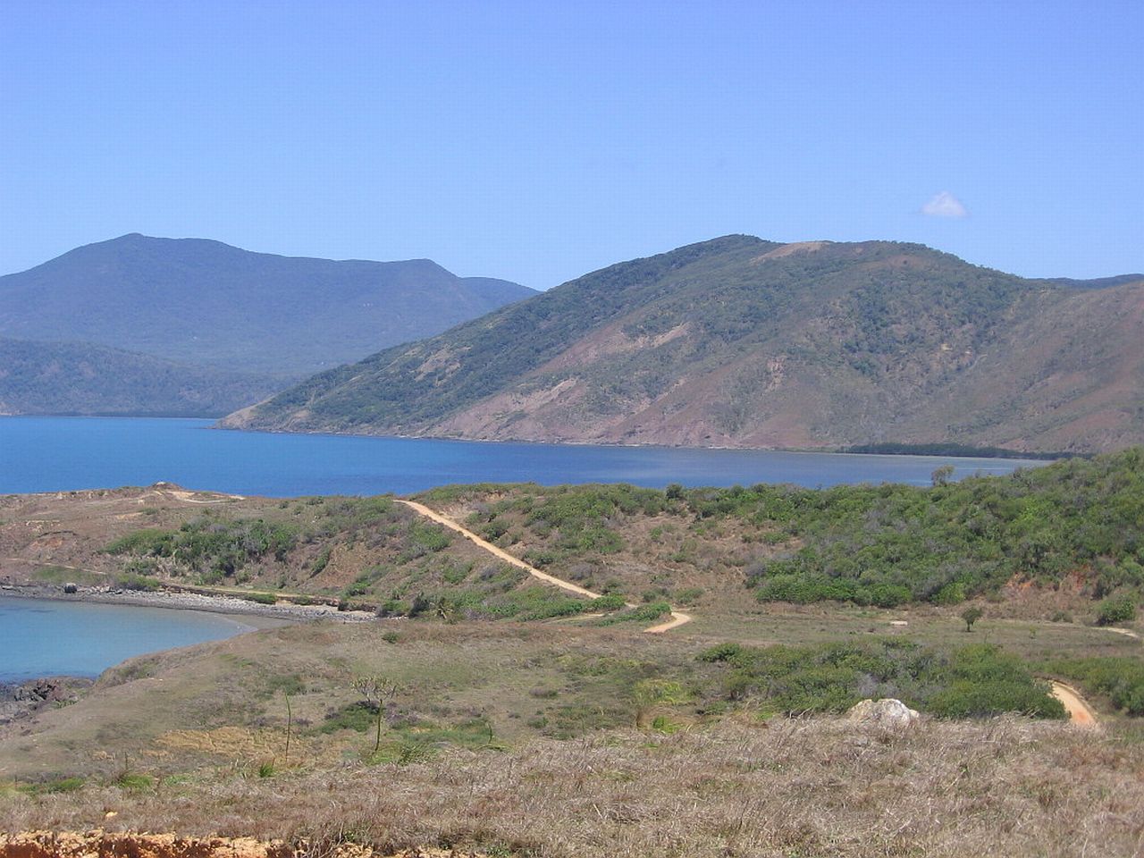
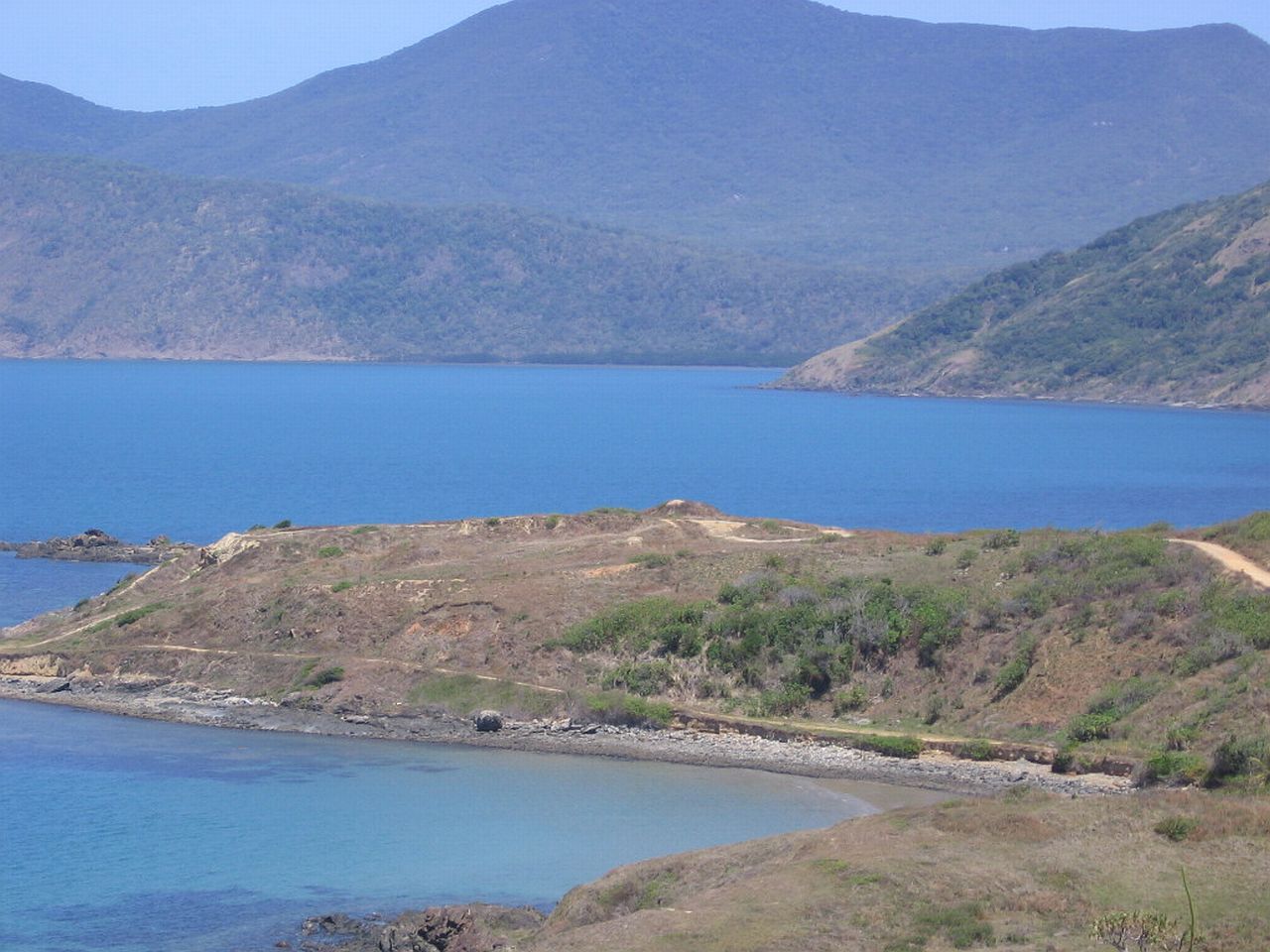
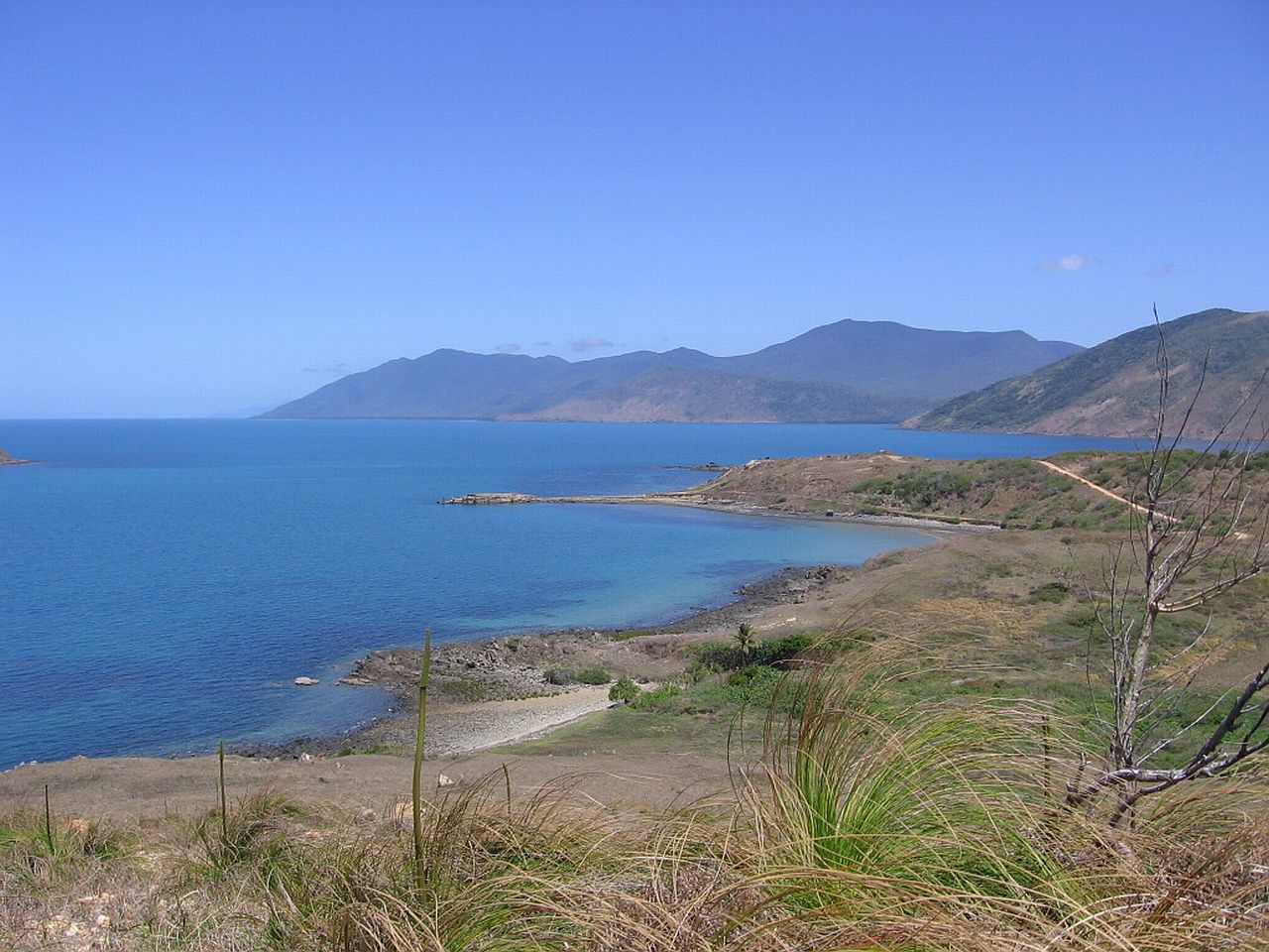
Muffy taking in the views. Some of the flora on the steep side of the Point. |
||
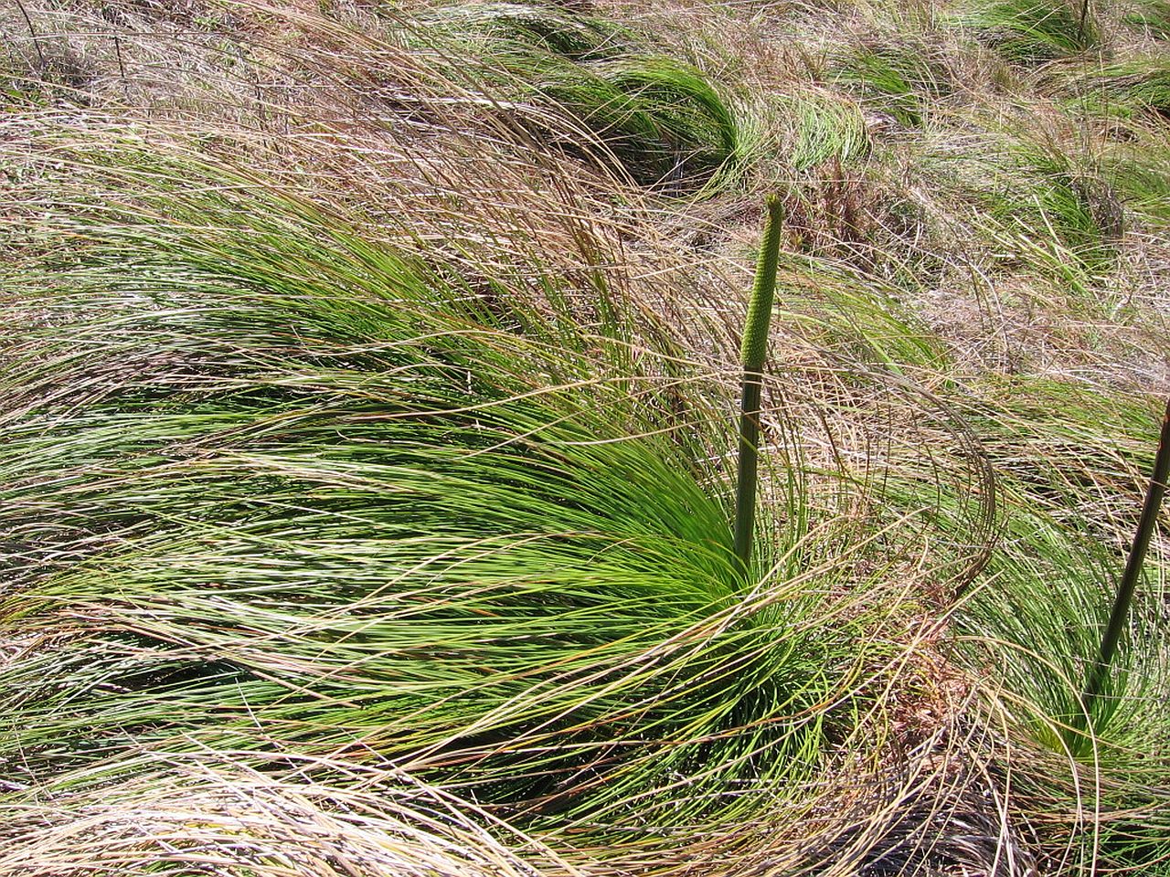 |
 |
 |
| 12.48pm | 12.48pm | 12.48pm |
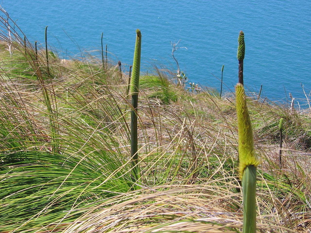
A small flower that took my eye, thriving in the harsh surroundings. |
||
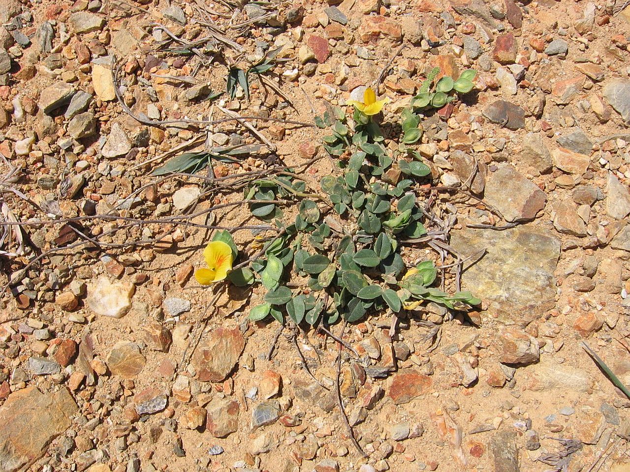 |
||
| 12.50pm | ||
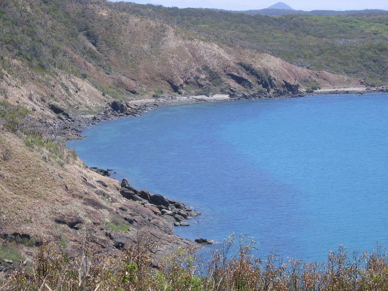
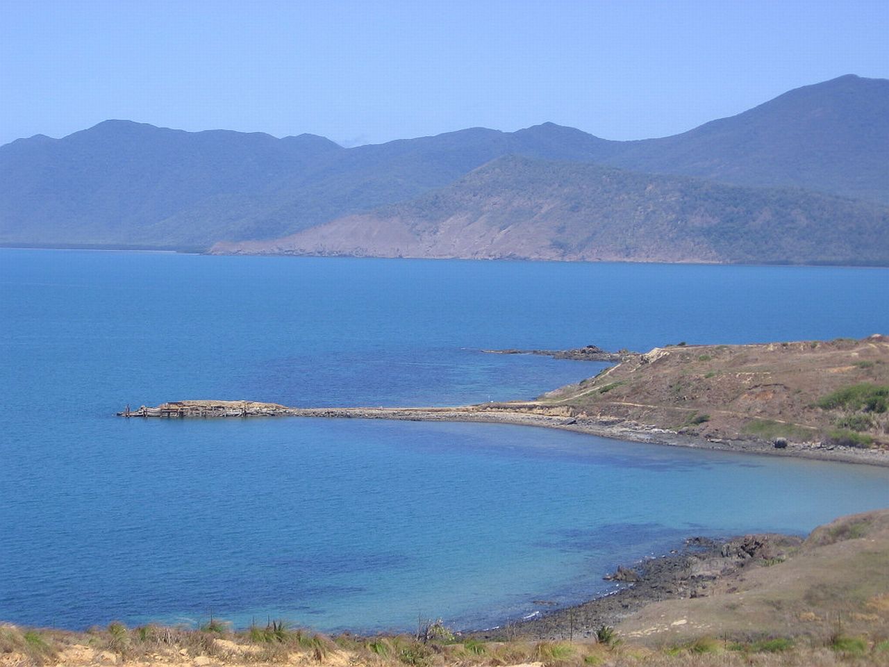
Inlets at the base of Archer Point. I noticed signs warning of Crocodiles, so, as perfect as it looks, it is still potentially dangerous. |
||
 |
 |
 |
| 1.14pm | 1.14pm | 1.14pm |
 |
 |
|
| 1.17pm | 1.17pm | |
| Cooktown | ||
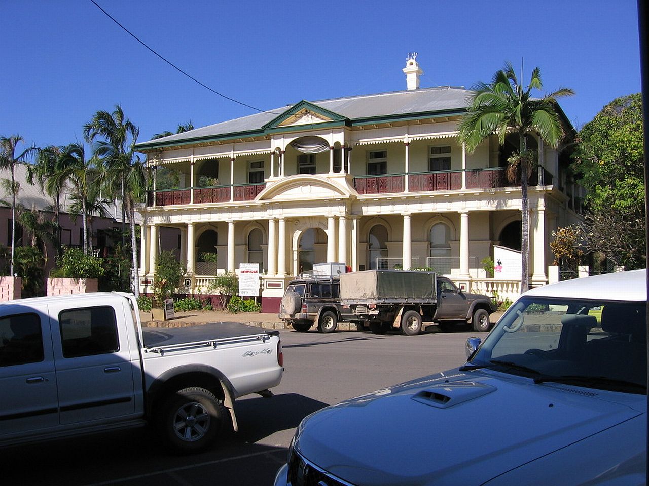
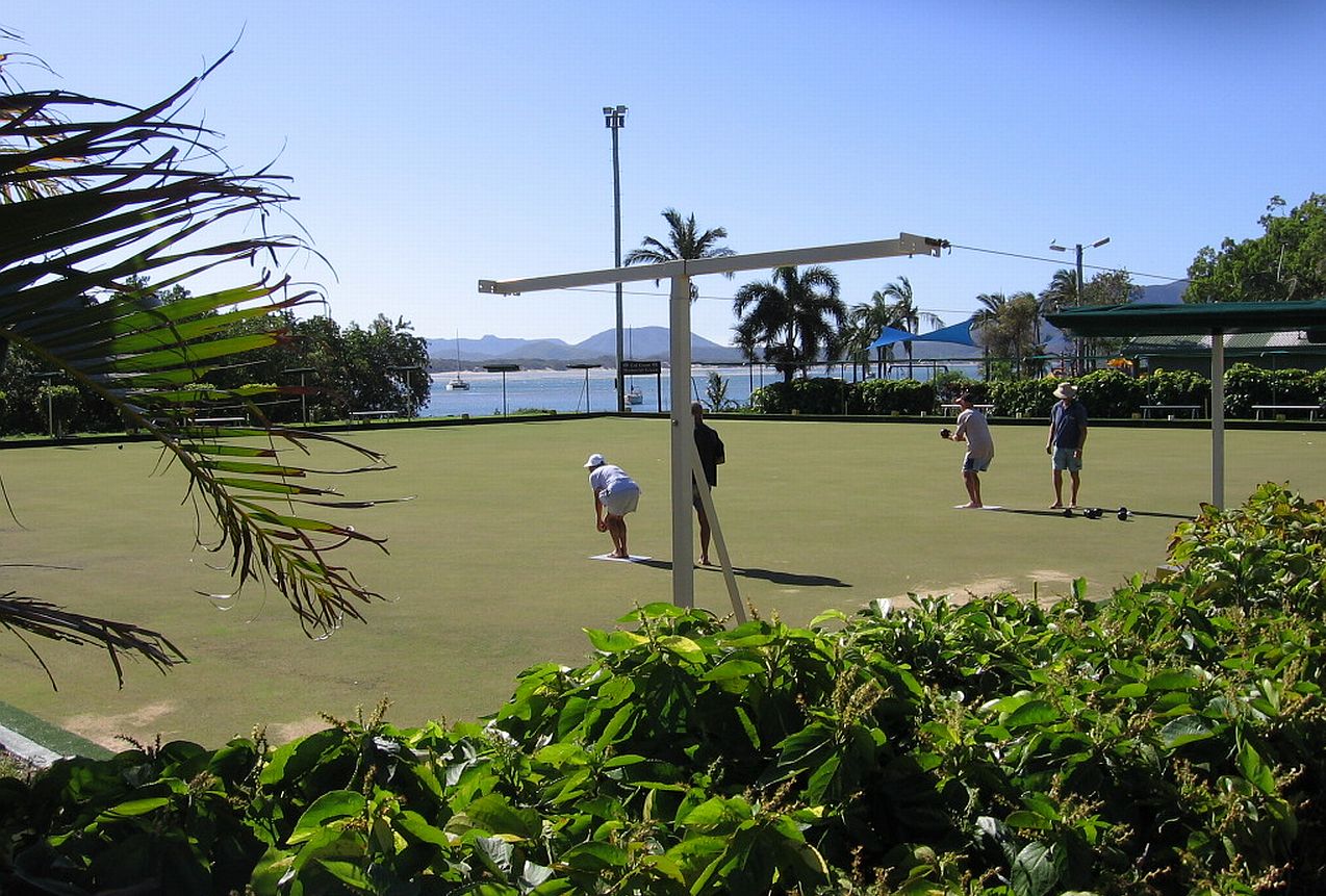
We eventually arrived in Cooktown and drove around to get some idea of the town. As it was already 3.00pm, we didn't have a lot of time before we would have to leave again to head back to Mt Carbine. We needed to get dog meat and a few supplies, so called into a supermarket. One of Judy's neighbours in Runneymede, near Nanango had a daughter living in Cooktown. We wanted to say "g'day" to her, so after asking in the supermarket, we started looking for her place of work. It turned out to be the business in the picture on the right. We called in and asked after her but our luck, it was her day off and they didn't know where she would be. We called her mobile but it went to Messagebank. We left a message for her. |
||
 |
 |
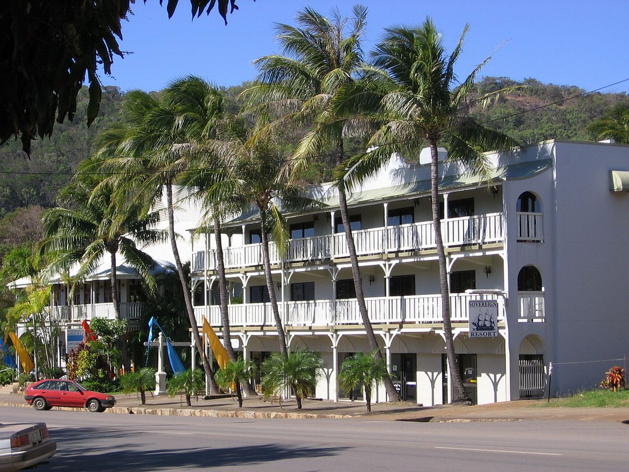 |
| 3.20pm | 3.21pm | 3.22pm |
Judy needed to find a birthday card for her mum and get it posted, so, while she did that I wandered around and took pictures, below, around the main street in Cooktown. |
||
 |
 |
 |
| 3.28pm | 3.29pm | 3.31pm |
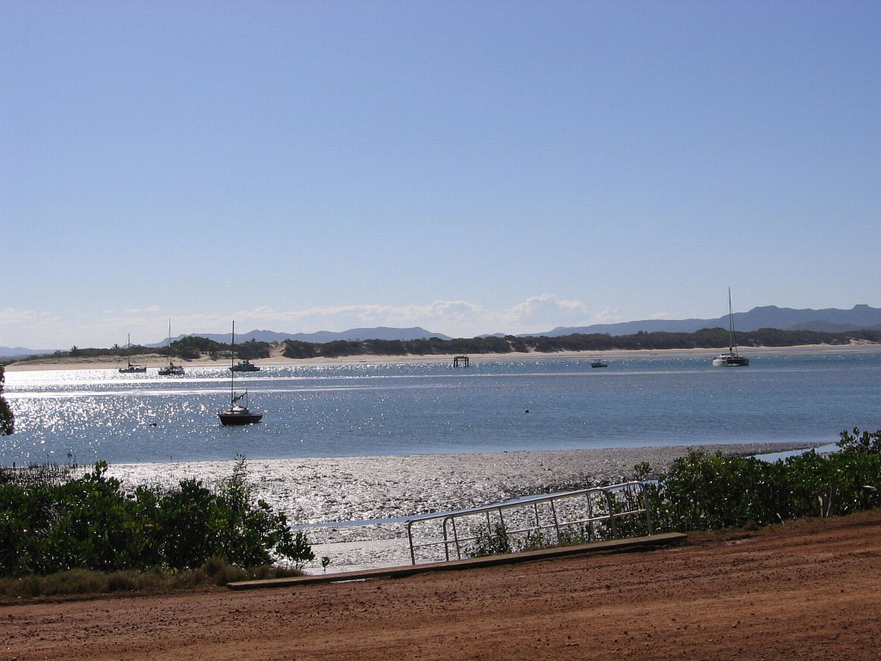
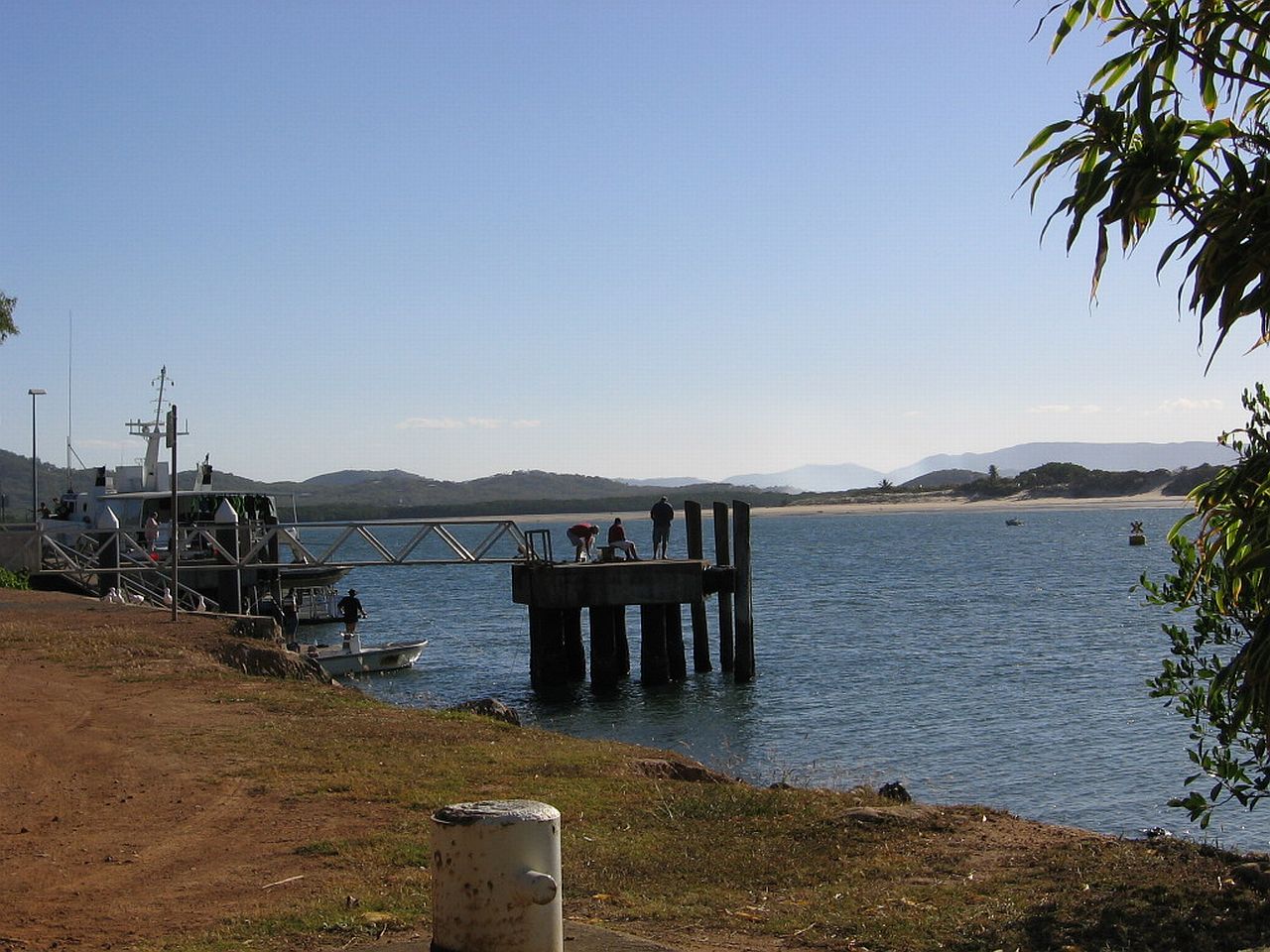
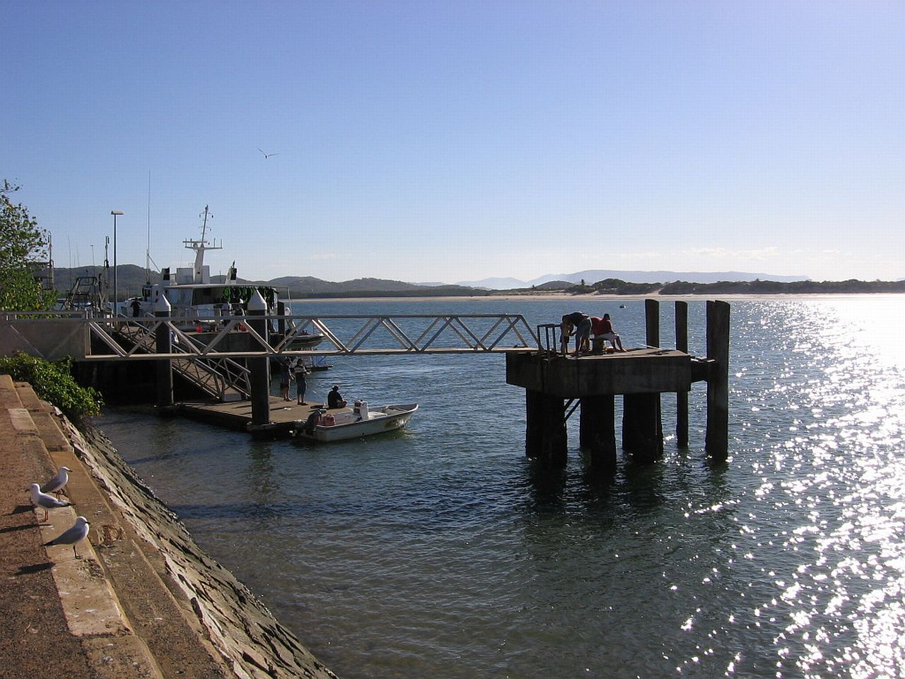
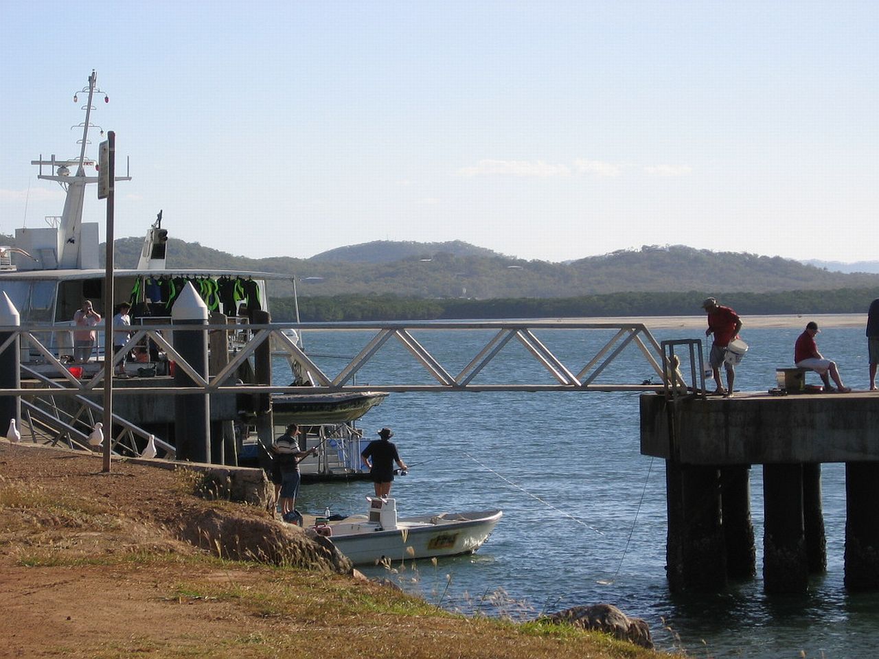
As we hadn't eaten for a few hours, we called in to a Bakery. They were closing but seeing our disappointment, they gave us a number of pies, free! We drove back to the edge of the Endeavour River, where boats were moored and ate the pies, taking in the activities and the beautiful surroundings. As I sat there, I thought about school in the 50's and how we learned about Captain Cook in 1770 - how his crew "fothered" the hole in the Endeavour and limped into the river that he named after the ship. Funny how that word "fothered" has stuck in my brain, even though as a kid, its meaning was very vague. At the time it was a really big deal to know that's what was done. Sitting there really brought home to me the history we had learned all those years ago and what danger they were in, being so isolated. There were no Emergency Services or EPIRB's. Extremely brave, courageous men. |
||
 |
 |
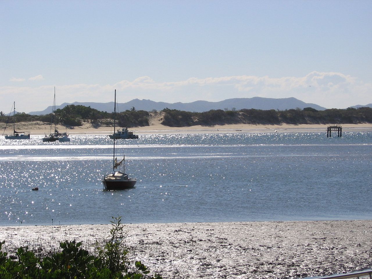 |
| 3.30pm | 3.30pm | 3.30pm |
 |
 |
 |
| 4.13pm | 4.13pm | 4.13pm |
 |
||
| 4.19pm | ||
 |
 |
 |
| 4.20pm | 4.14pm | 4.20pm |
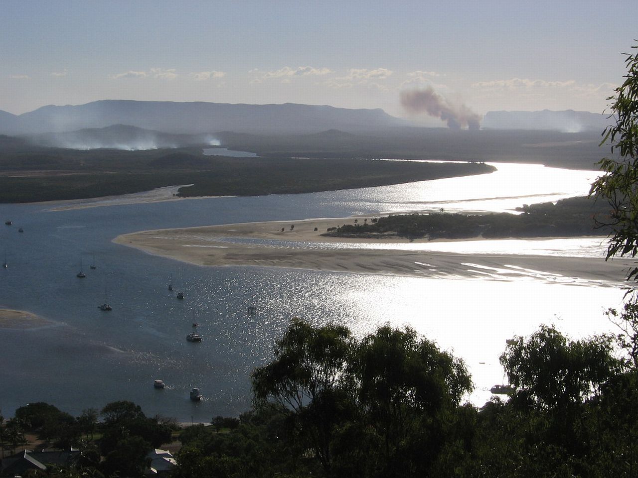
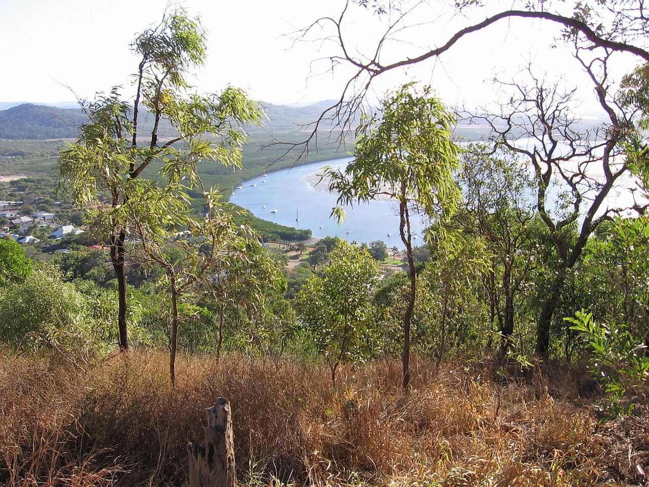
With the sun starting to show low in the sky, I followed a street up to a lookout and took more pictures of the Endeavour River where Captain James Cook repaired his ship, The Endeavour. |
||
 |
||
| 4.32pm | ||
Below are Cooktown's streets and the river as we saw them as we left on the long, dark drive home to Mt Carbine Caravan Park, avoiding cattle on the road as we went. But it was worth the drive to see Cooktown. |
||
 |
 |
 |
| 4.33pm | 4.33pm | 4.34pm |
|
|
|
|
Last Updated : 28/01/2012 02:14 PM +1000