TUMUT
▼
TALBINGO ► KIANDRA
▼
ADAMINABY ► COOMA
▼
NIMMITABEL ► BROWN MOUNTAIN
▼
BEMBOKA
|
|
THANK YOU FOR BEING PATIENT WHILE THE PICTURES LOAD |
|
Day 21
Tuesday 8th December 2009 Click on the pictures for larger versions |
|
|
||
|
|
||
|
TUMUT - TALBINGO |
||
|
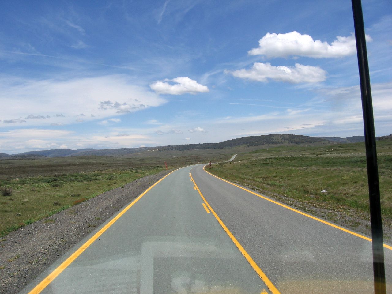
After checking the radiator water and packing up, we left
Riverglade Caravan Park at Tumut
around 8.30am. As we had been on the road to Blowering Dam the previous afternoon, we didn't stop again to look.
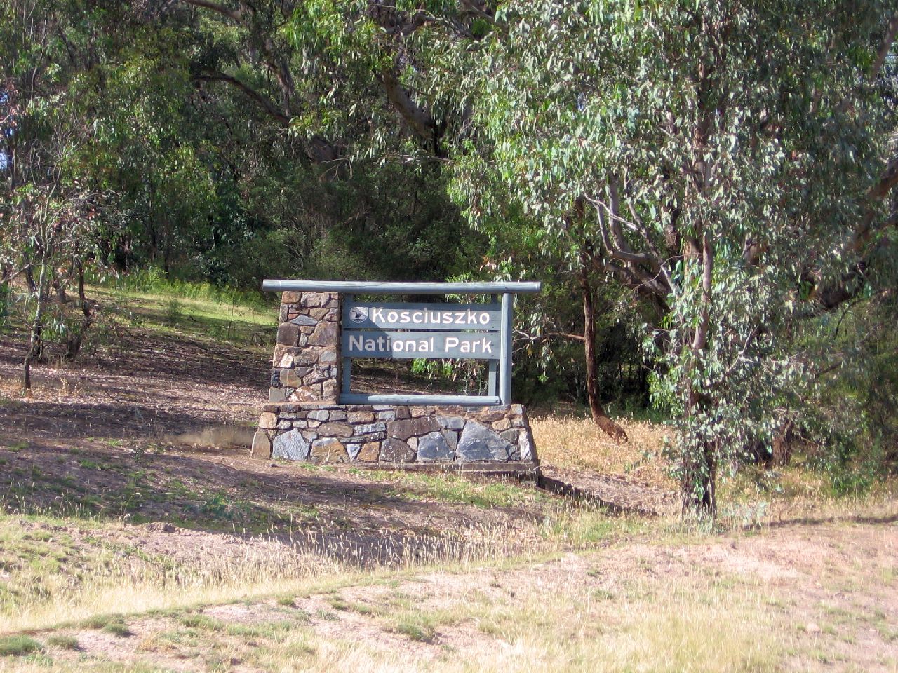
We passed the Kosciuszko
National Park sign at 9.01am. |
||
 |
||
|
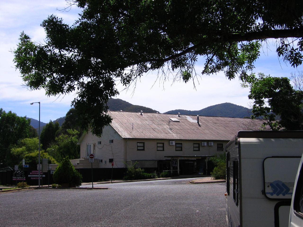
To my surprise, only five minutes later we arrived in Talbingo. I remembered the warning given by the girls at the Oriental Hotel about Talbingo. I also remembered mum saying how dad had trouble with his vehicle while towing the caravan at Talbingo in February 1976. She said the Chrysler AP5 Valiant they had at the time overheated and boiled the radiator, on the road out of the town, and they had to stop on the side of the road till it cooled. She said every time he thought he was out of the hills, ANOTHER corner turned up, and the road kept climbing. I had these thoughts as I entered the town. As we hadn't eaten, we visited the local shop. While waiting for the food, I told the story to the owner and asked if things had changed. He said the road was better but the climb was still the same and that as long as your vehicle was in good condition, there would be no problems. My mind went straight to thoughts about the mystery overheating radiator in the Daihatsu towing the caravan! I told him I was towing a caravan and he winced. He then said to just take my time and not be pressured by other vehicles. He also told me that once I started up the range that there would be no chance of turning around and going back. All of this information
was going though my mind as we sat in the shade of a tree eating. |
||
| 9.06am | 9.07am | 9.08am |
 |
 |
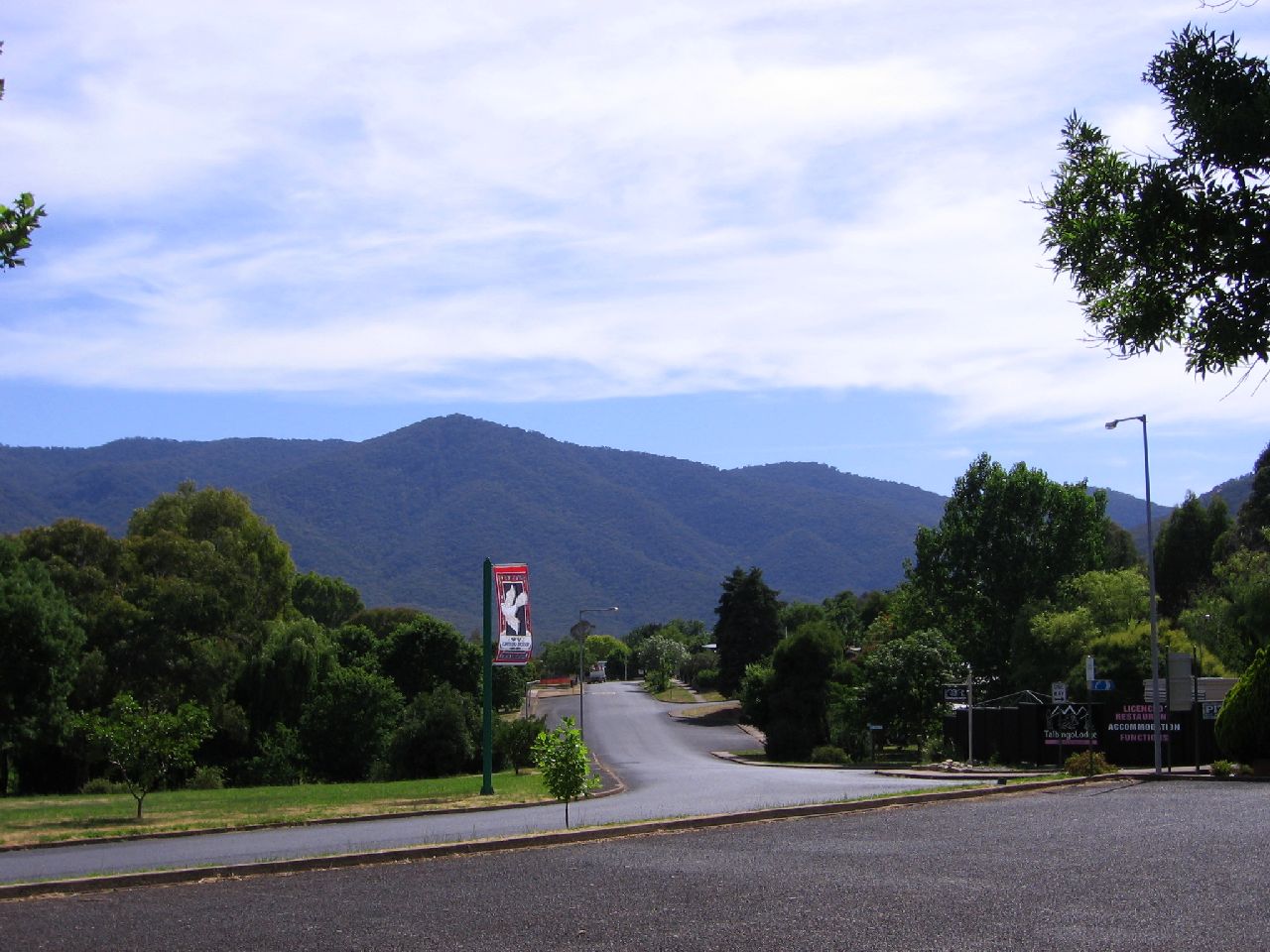 |
| Views around Talbingo | ||
| 9.07am | 9.07am | 9.08am |
 |
 |
 |
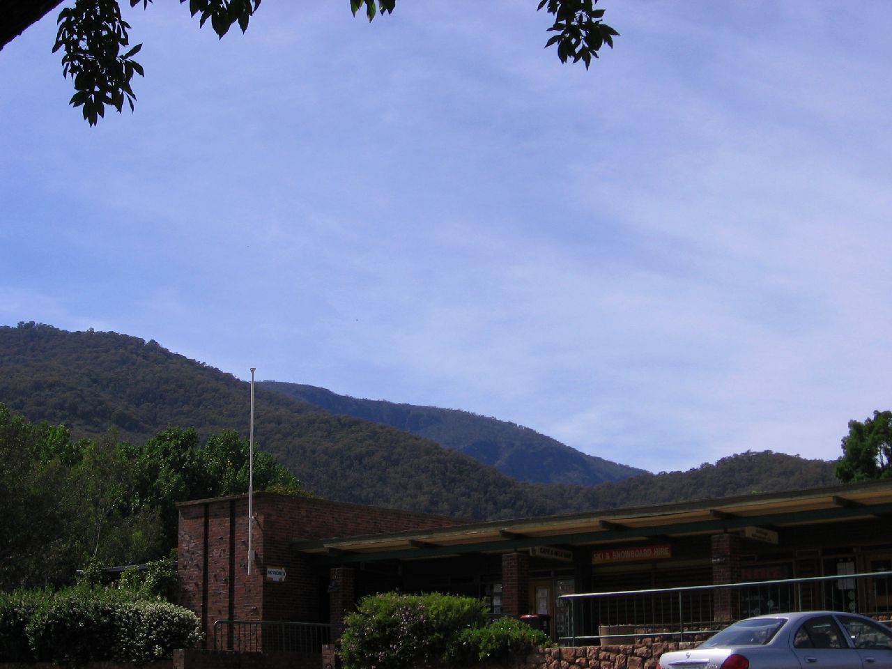
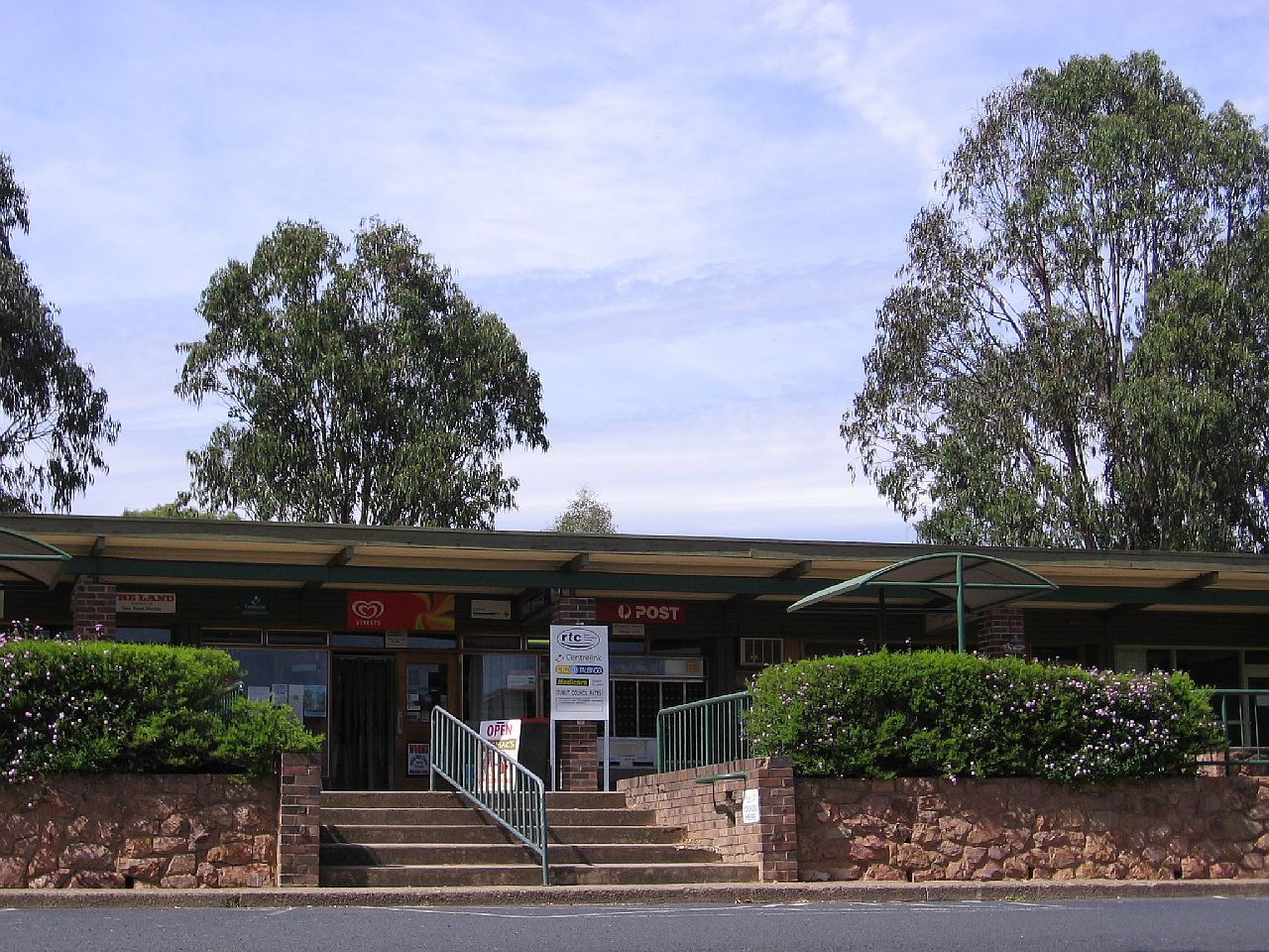
| Talbingo Shopping Centre | ||
| 9.32am | 9.34am | 9.34am |
 |
 |
 |
|
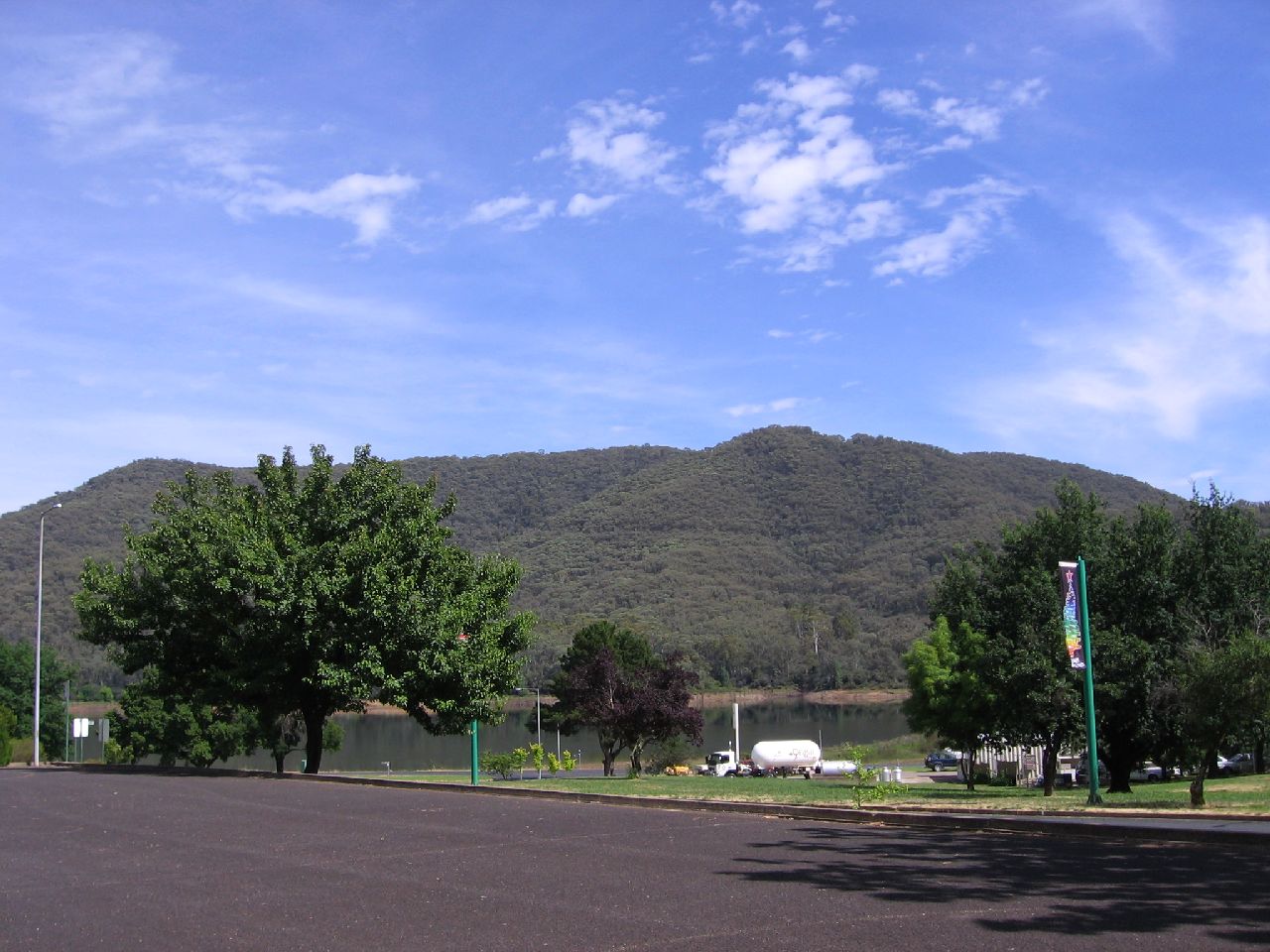
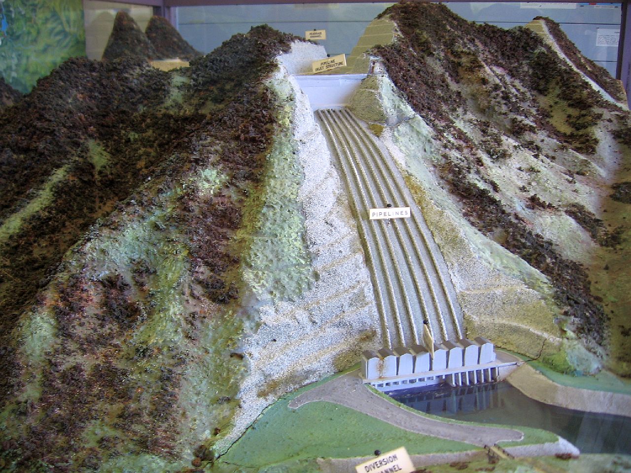
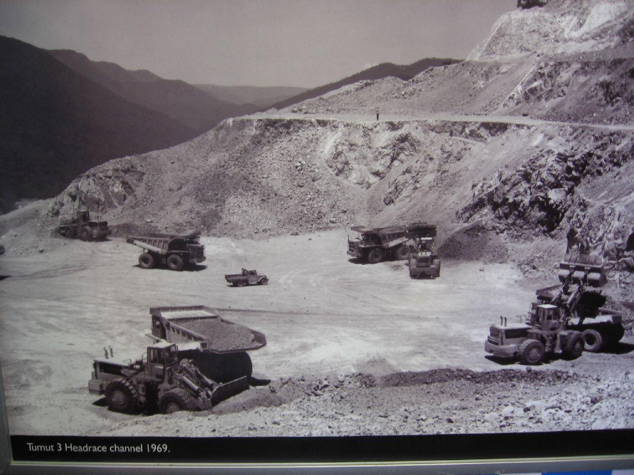
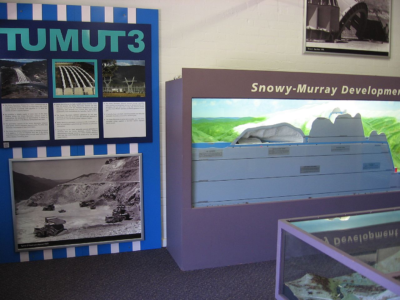
Talbingo has an area (above) in the shopping centre with
pictures and models showing the building of the
Snowy Mountains Scheme I spent time there looking at the models and left feeling a little apprehensive, after seeing the ascent angle of a scaled down model of the road winding up the range, out of Talbingo. |
||
|
TALBINGO - PINBEYAN / CUMBERLAND RANGE |
||
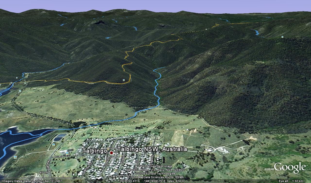
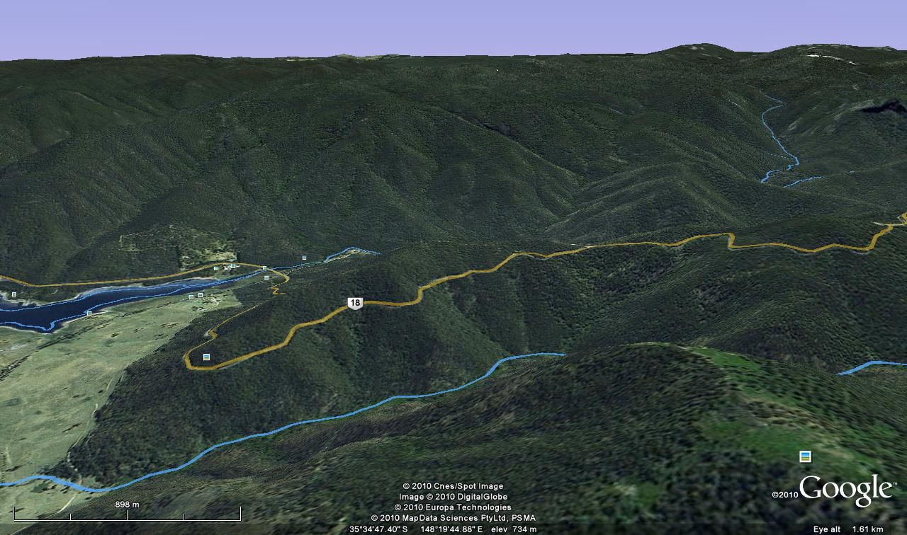
| To try to give you some idea of the climb ahead of us, I downloaded, from different angles, the Google Earth pictures below. | ||
 |
 |
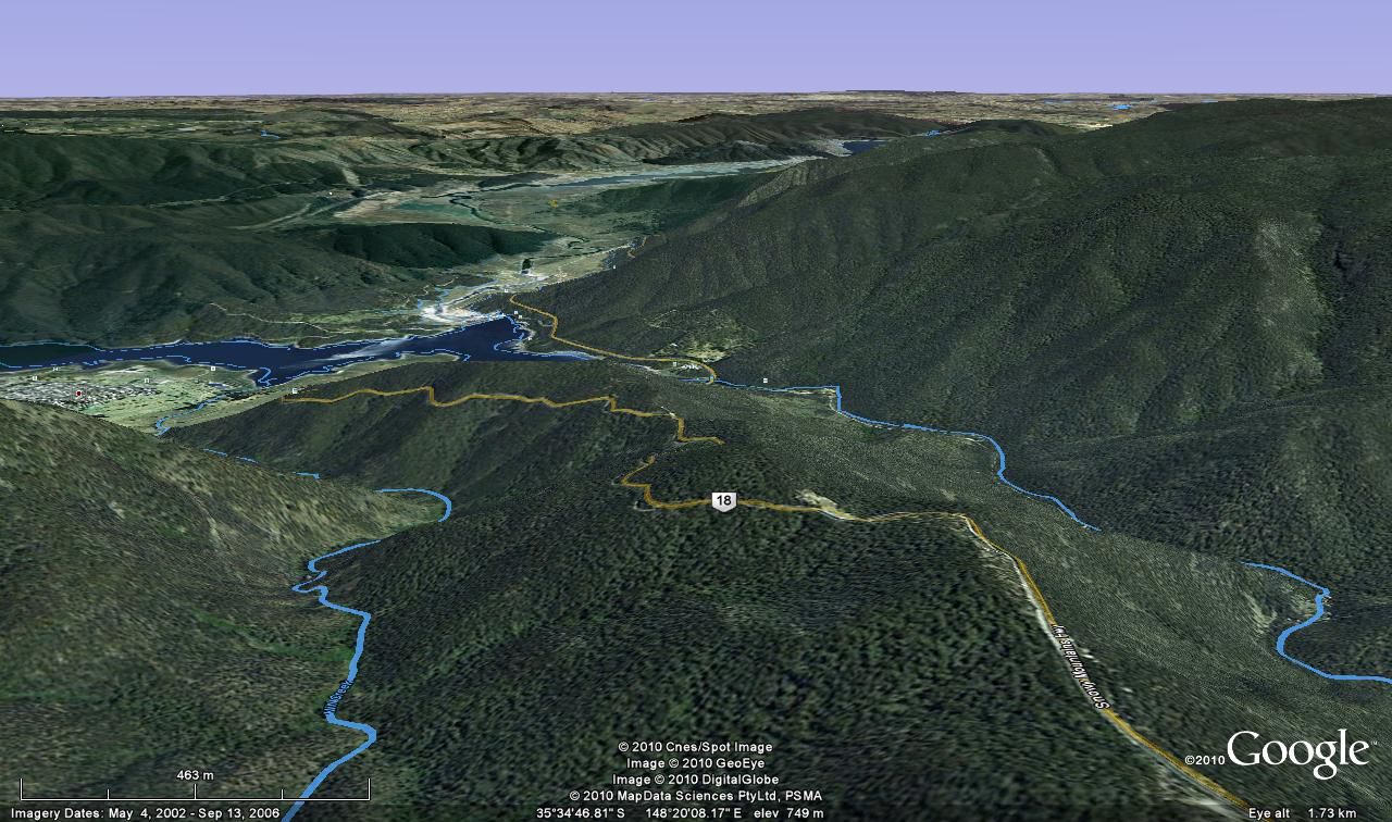 |
| The road (above) marked in orange, is the path we had to take to get out of Talbingo. | ||
|
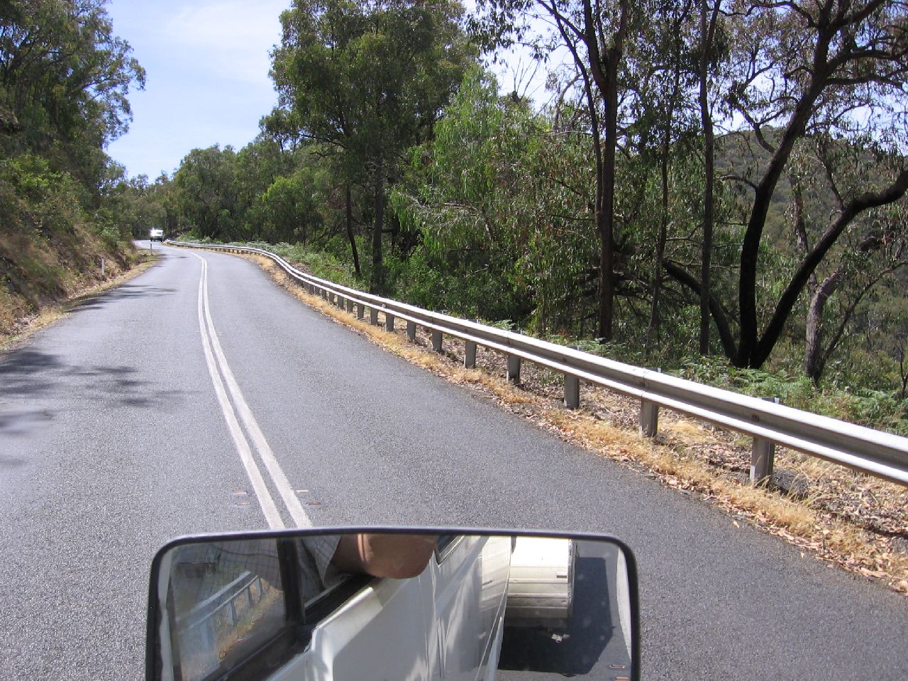
I drove the short distance out of Talbingo to the Snowy
Mountains Highway junction. I noted the radiator temperature was "normal", so I was hoping that wasn't going to be a problem. I turned the nose of the Daihatsu to the
hill and went through the usual motions, speed up, change gear, speed
up. |
||
|
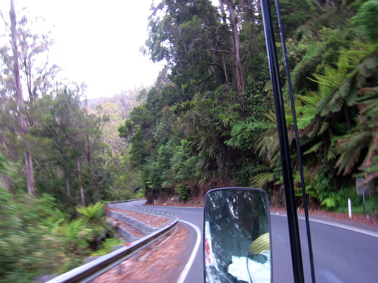
The series of pictures below with the times above, indicates the time it took to drive the up the range. |
||
| 9.56am | 9.57am | 9.57am |
 |
 |
 |
| Talbingo way below | A massive 10kph | Looking back over Talbingo |
| 9.57am | 9.58am | 9.58am |
 |
 |
 |
| The climb out of Talbingo | ||
| 9.58am | 9.58am | |
 |
 |
|
|
The climb out of Talbingo,
still! |
||
| 9.58am | 9.59am | 10.02am |
 |
 |
 |
|
Still climbing! |
||
| 10.09am | ||
 |
||
|
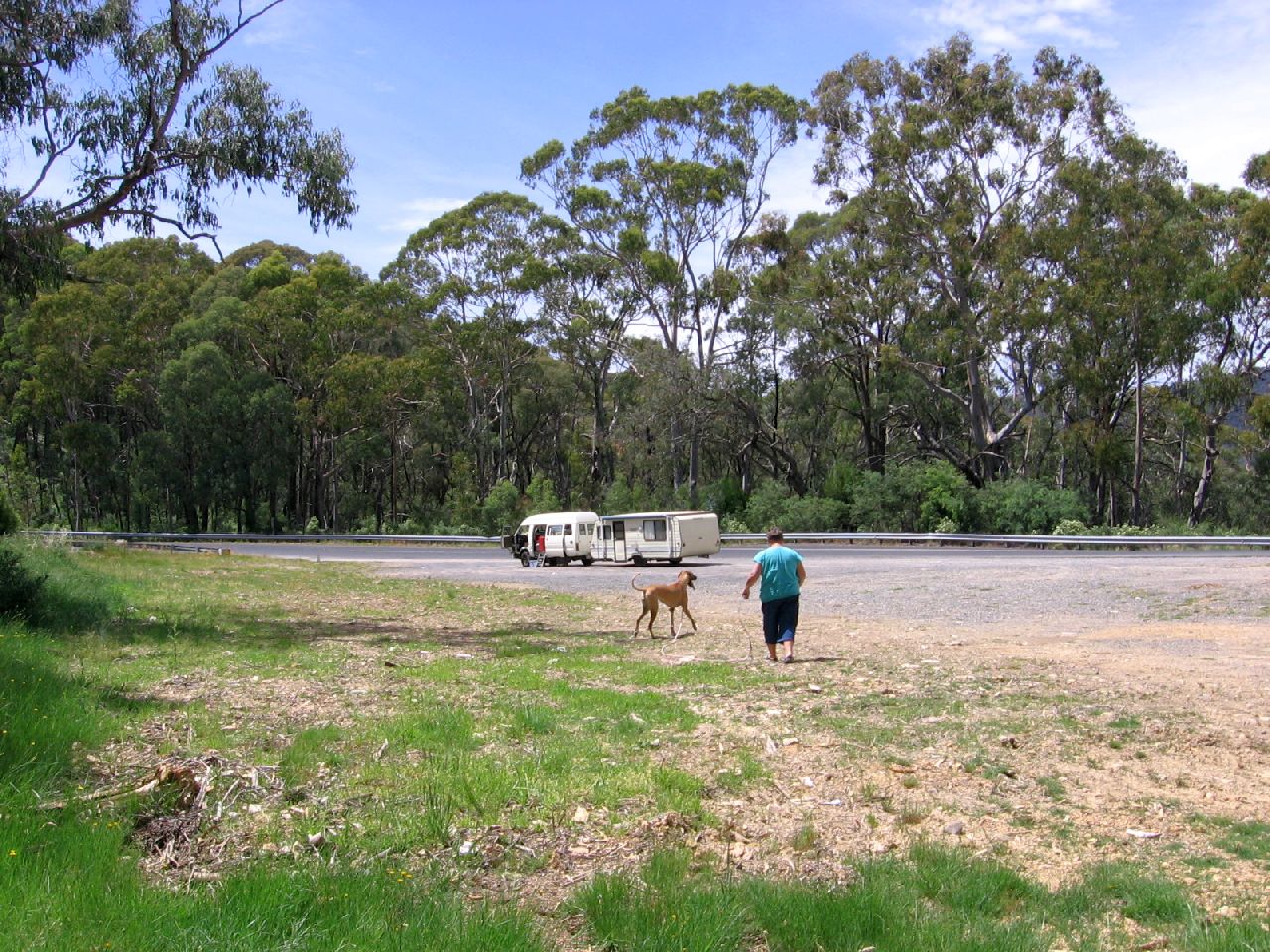
Finally we reached a spot to give the Daihatsu a break, even though the temperature gauge still showed normal. We had a drink and took the dogs for a walk. |
||
| 10.13am | ||
 |
||
| 10.15am | 10.18am | 10.19am |
 |
 |
 |
|
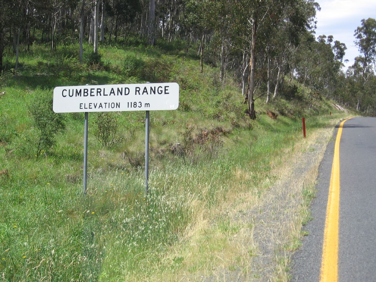
PINBEYAN / CUMBERLAND RANGE - KIANDRA |
||
|
The driving after the sign below was a lot easier. |
||
| 10.39am | ||
 |
||
|
The crest of the Cumberland Range. From Google Earth I gather the spot is named Pinbeyan. |
||
|
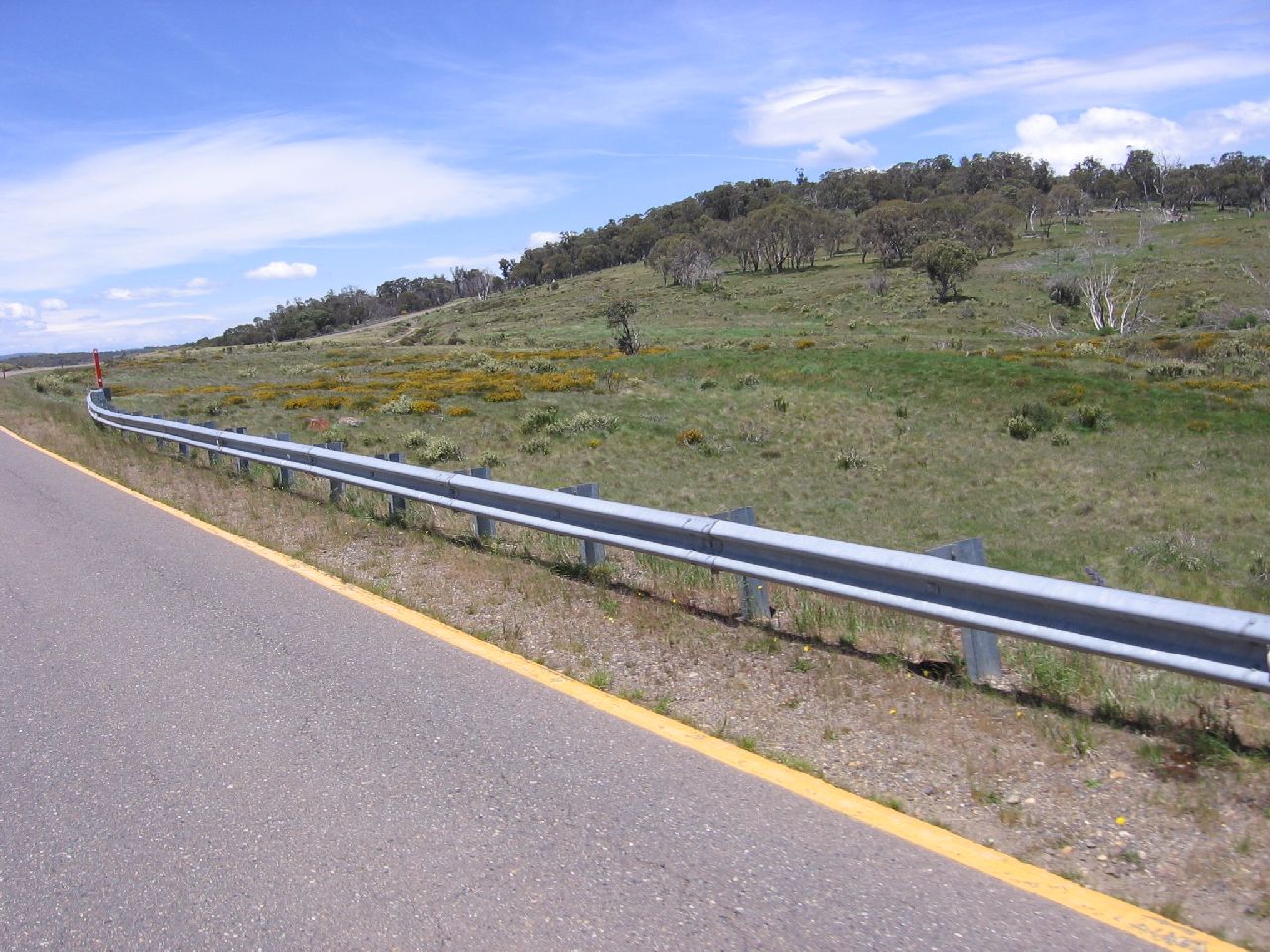
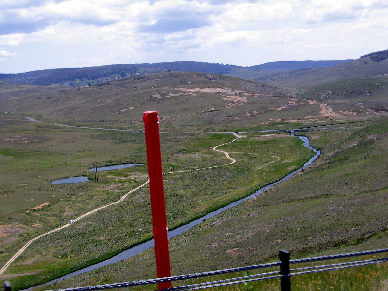
I wondered why the lines either side of the road had changed from white to yellow. I also wondered why there were orange posts along the edge of the road. The link below explained it. "When driving in the Alpine Region, the RTA has identified possible snow and ice risk sections with yellow lane line marking and signposting." |
||
|
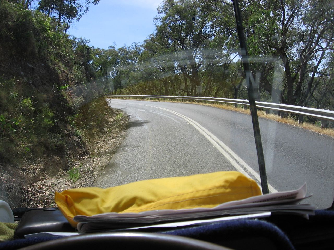
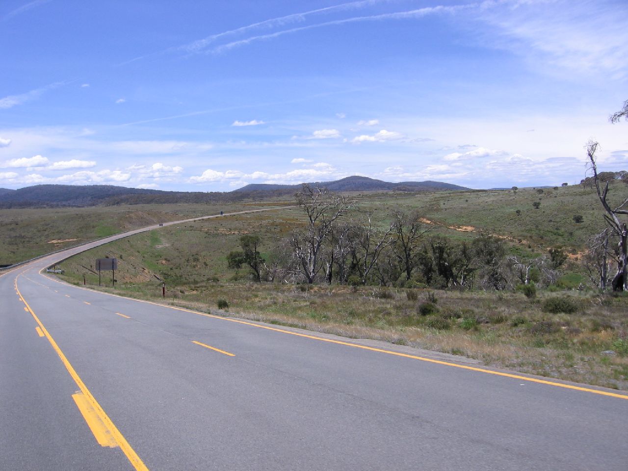
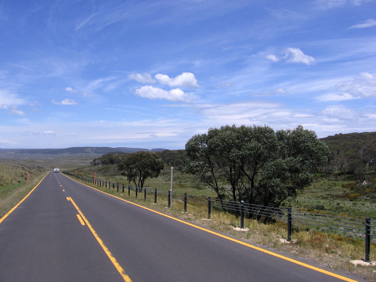
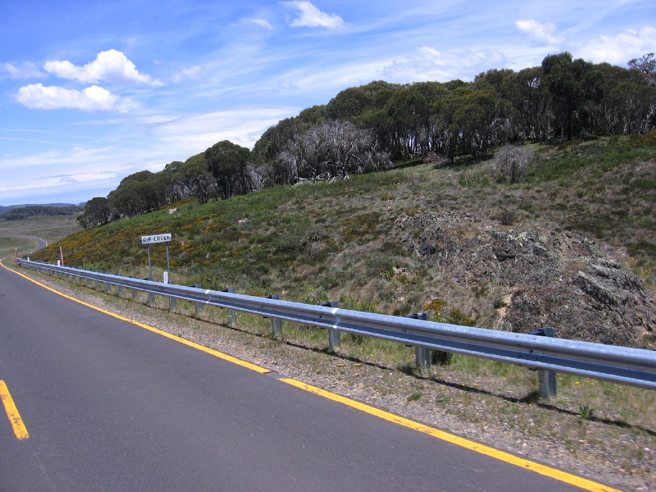
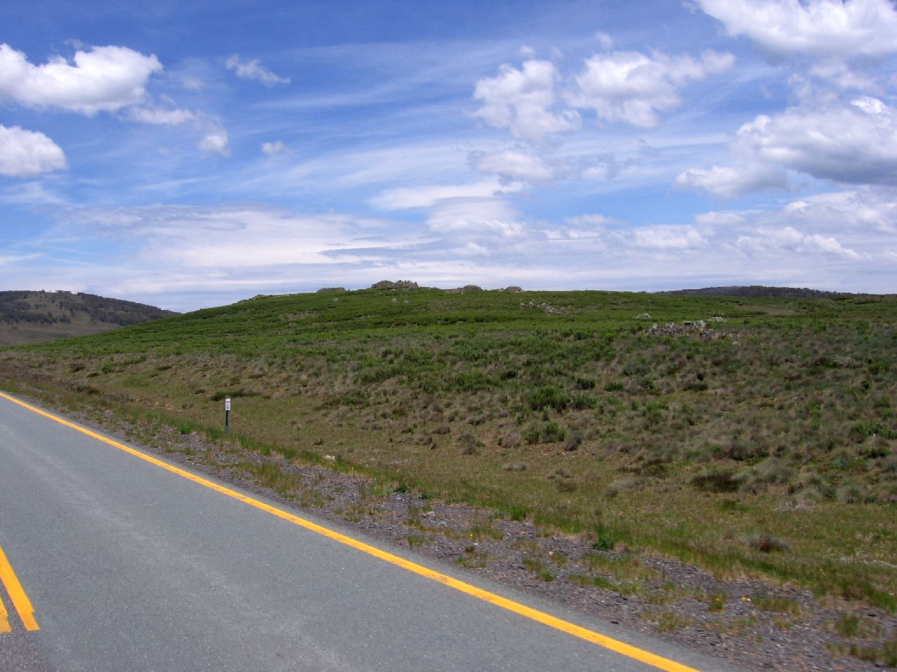
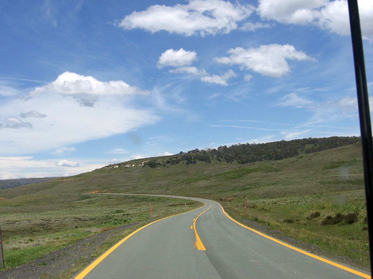
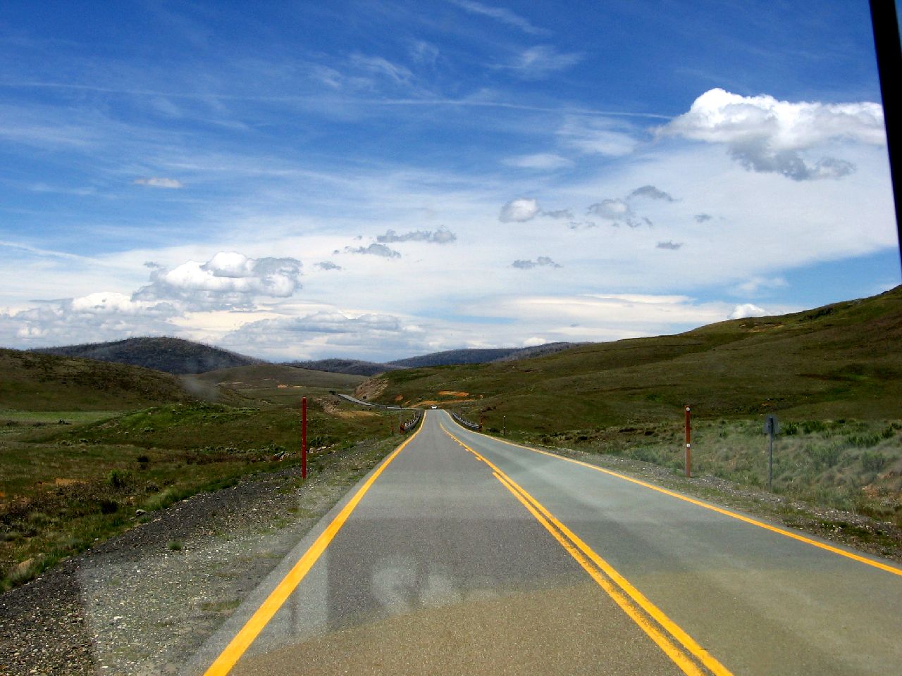
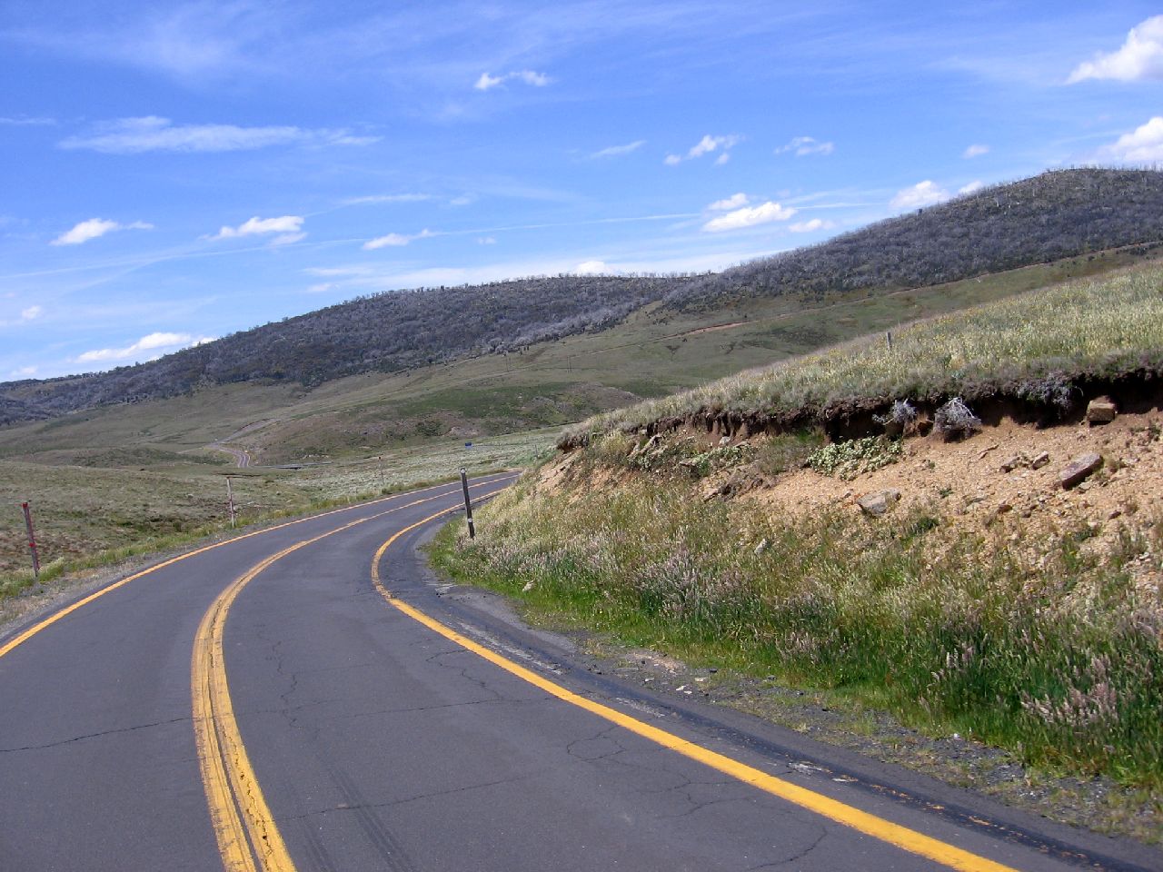
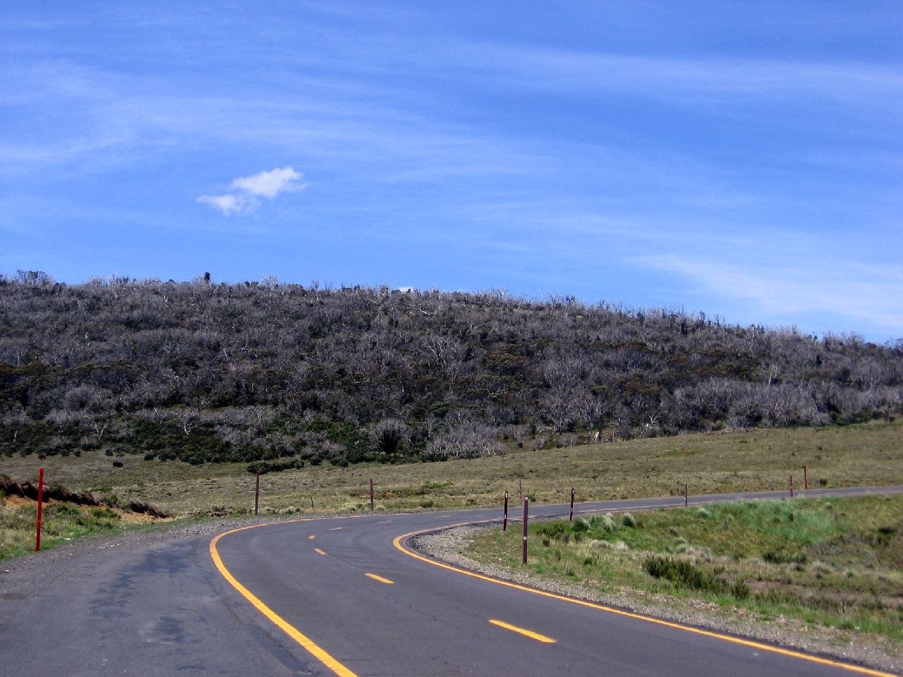
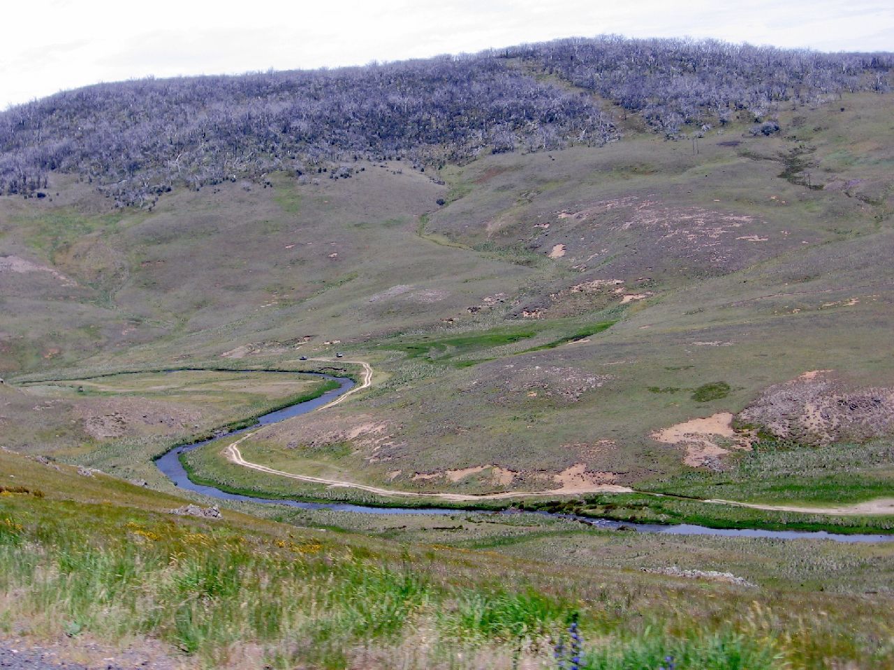
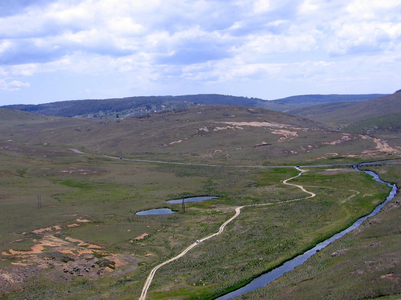
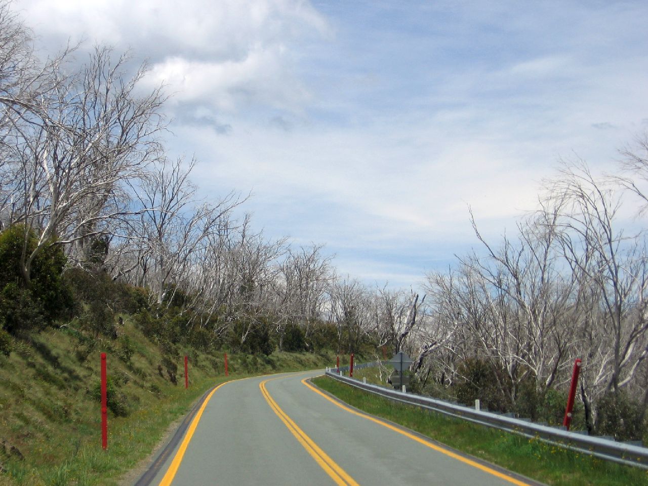
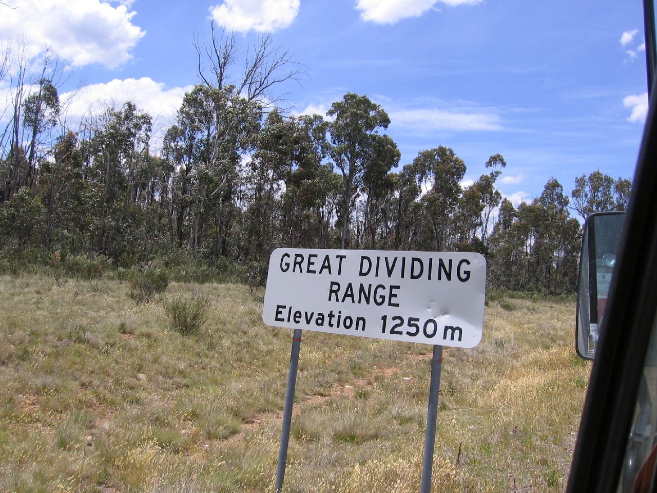
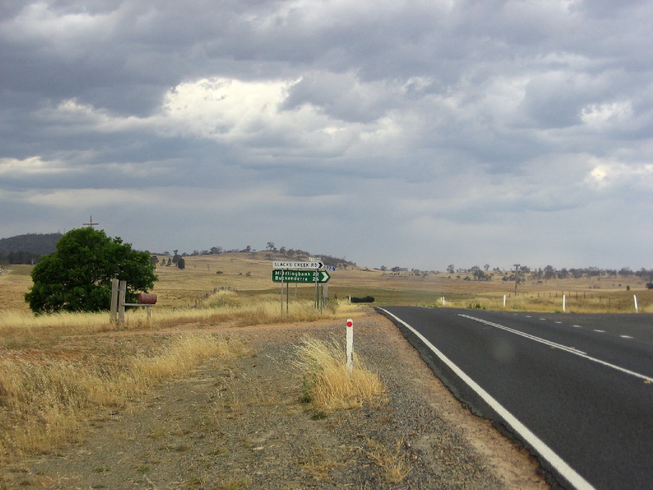
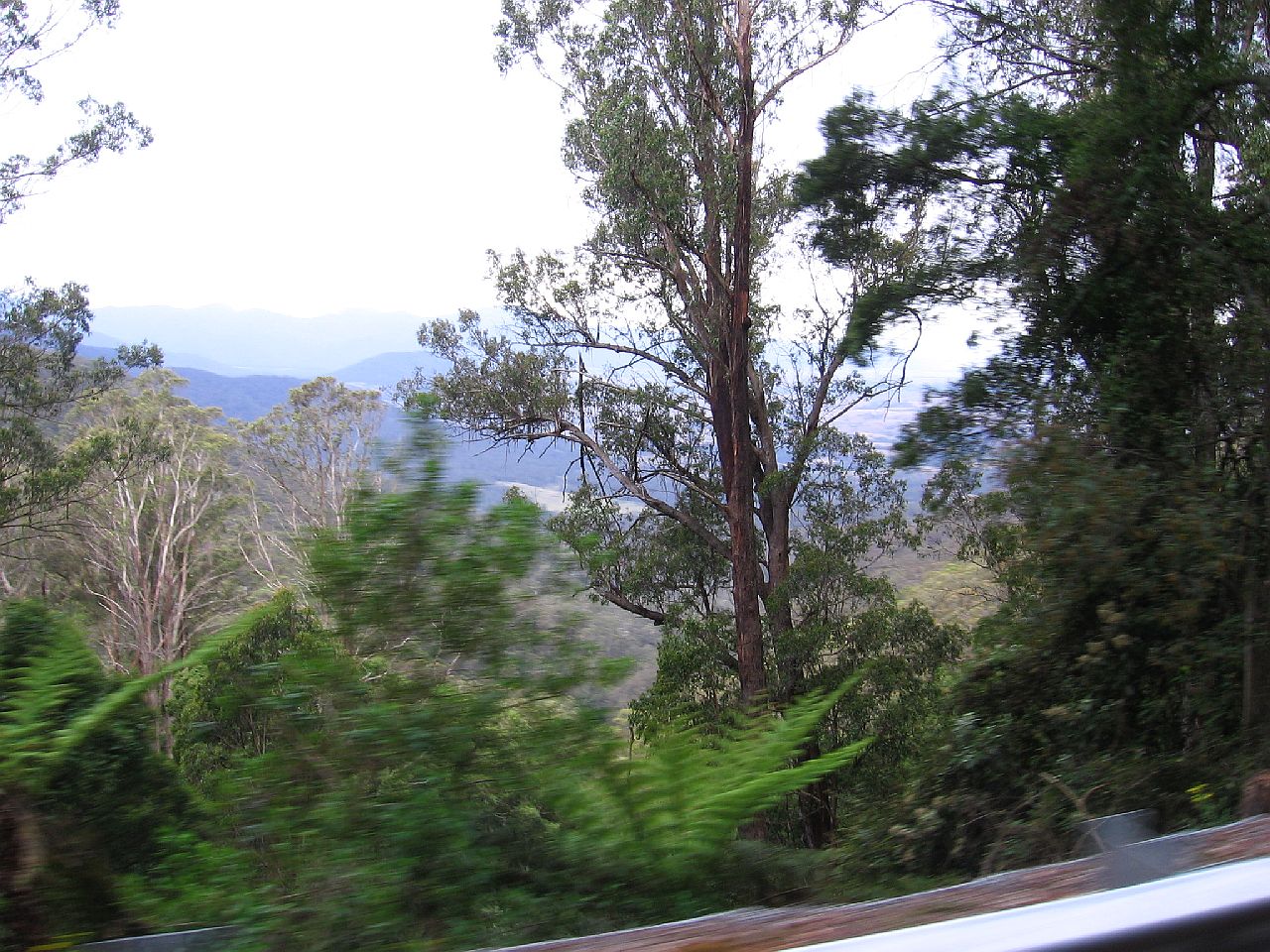
We drove past a sign pointing to Yarrangobilly Caves. The sign said "Not suitable for Caravans", so obviously we gave it a miss. Looking at Google Earth, it looked really interesting but that's one of the limitations of caravanning. After driving for so long up and down through tree covered areas, we came out onto what seemed like a plain. The trees were very stunted and the grass short and windblown. I gathered we were driving over one the highest areas of Australia, which would be covered by snow in Winter. The road was brilliant. |
||
| 11.01am | 11.02am | 11.03am |
 |
 |
 |
|
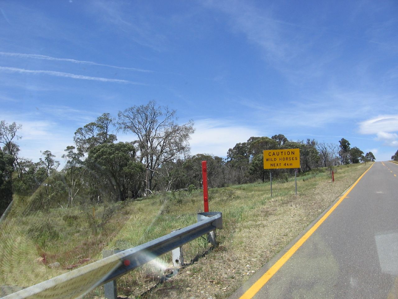
As we drove along the Snowy Mountains Highway we noticed a sign
which said, CAUTION Judy's interest peaked out. Not far on from the sign, a vehicle was stopped. He waved us over and
asked if we had seen the mob of brumbies. |
||
| 11.03am | 11.04am | 11.08am |
 |
 |
 |
| The sign warning of possible Brumbies ahead. | Judy watching for Brumbies. | This is typical of the trees we were passing. |
| 11.34am | 11.35am | 11.35am |
 |
 |
 |
|
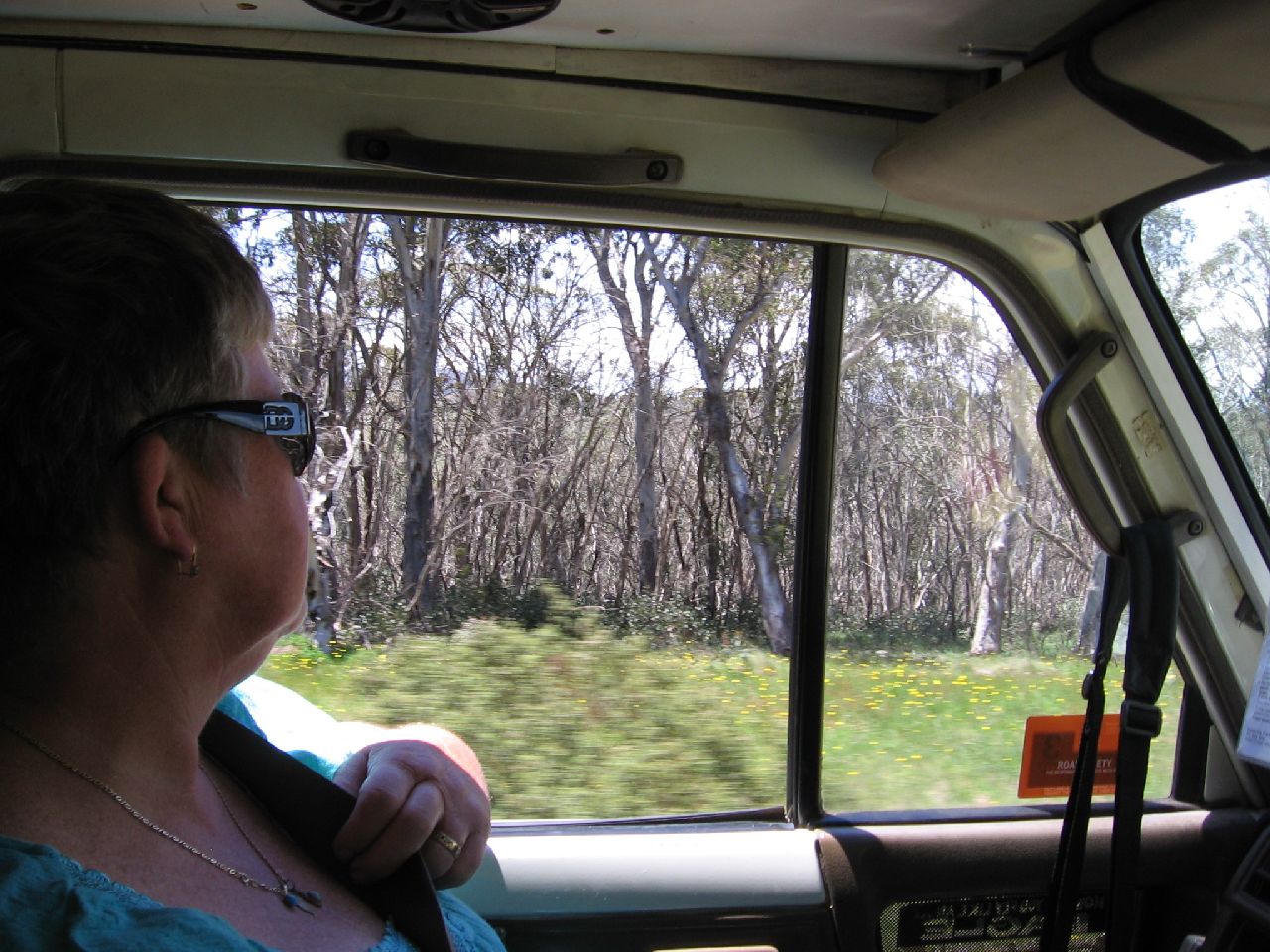
Above and below are shots I took of the terrific road through the area.
It was such a pleasure to be able sit back and relax. I could look at the view and drive without having to constantly keep an eye on the road just up ahead. |
||
|
As we have no air conditioning, we nearly always have the windows open.
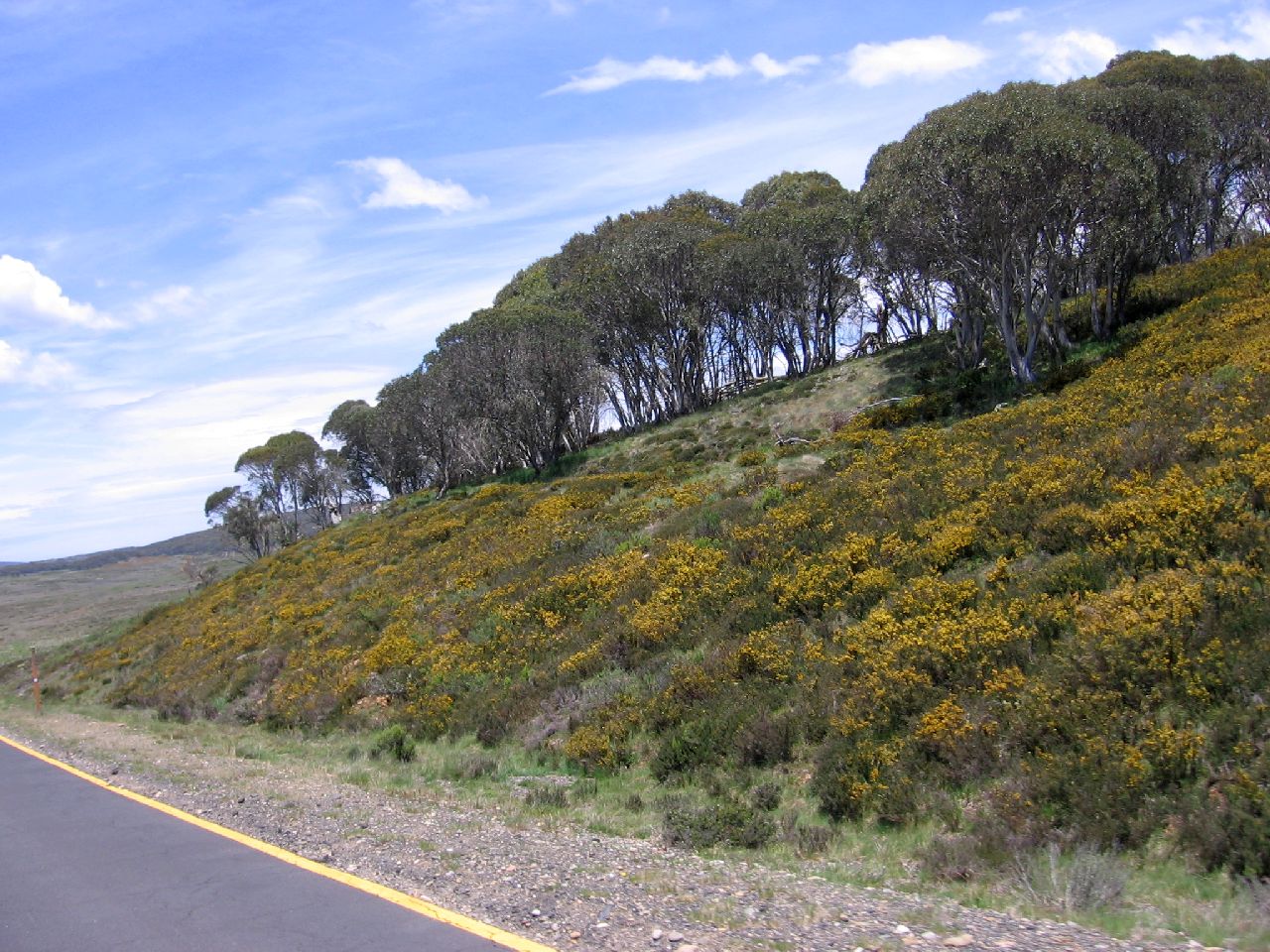
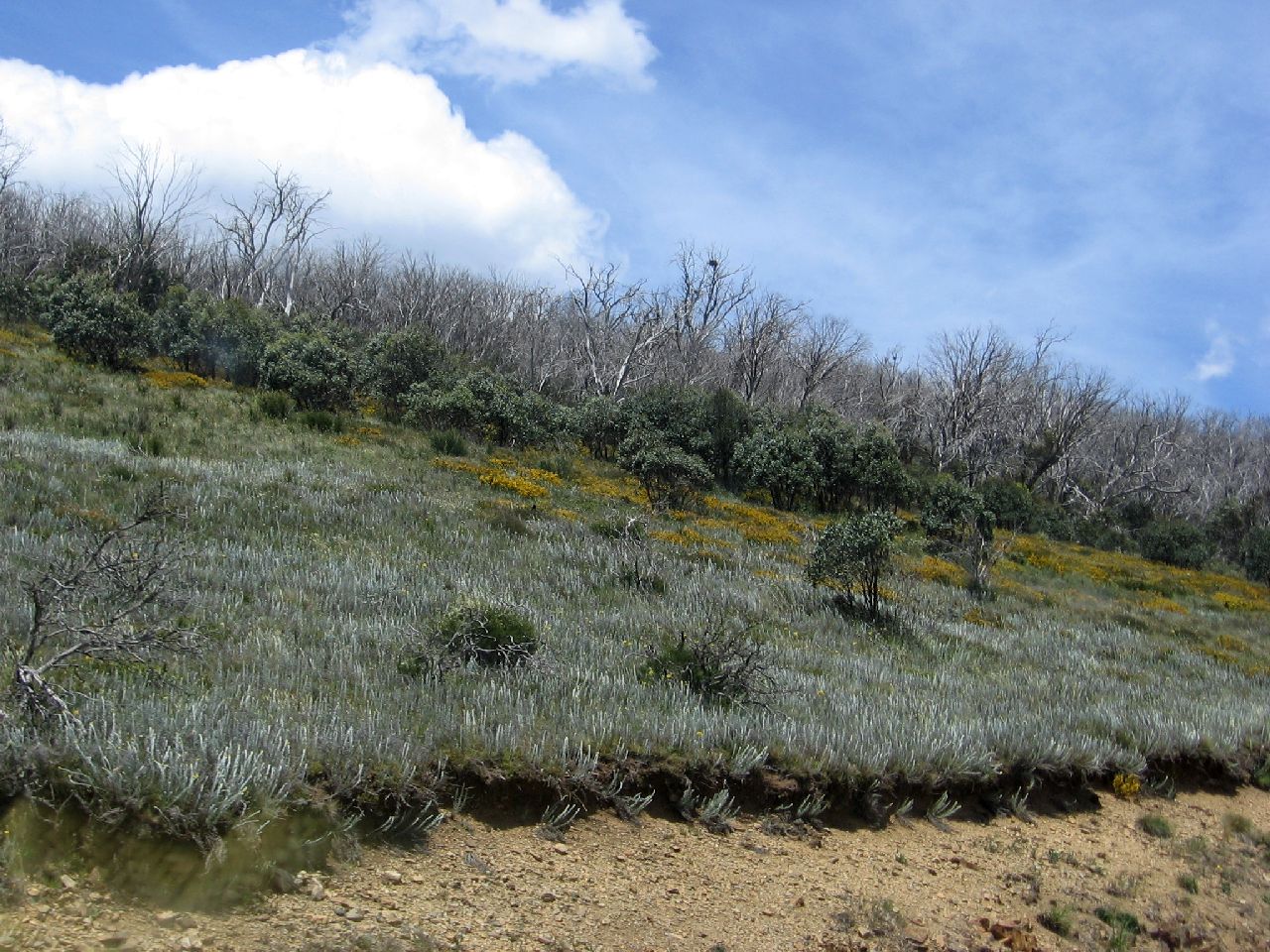
It was Summer, but the air at the level we were at was pleasantly cool. I noticed a beautiful honey perfume in the air every now and then. I found that it was only in the air as we passed the masses of yellow plants in the left picture below. The perfume reminded me of a plant I grew in the 70's called a Grevillea Biternata but this plant was a lot smaller. If anyone reading this knows what the perfume comes from, can you let me know here please. |
||
| 11.35am | 11.35am | 11.36am |
 |
 |
 |
| 11.37am | 11.39am | 11.40am |
 |
 |
 |
| 11.41am | 11.41am | |
 |
 |
|
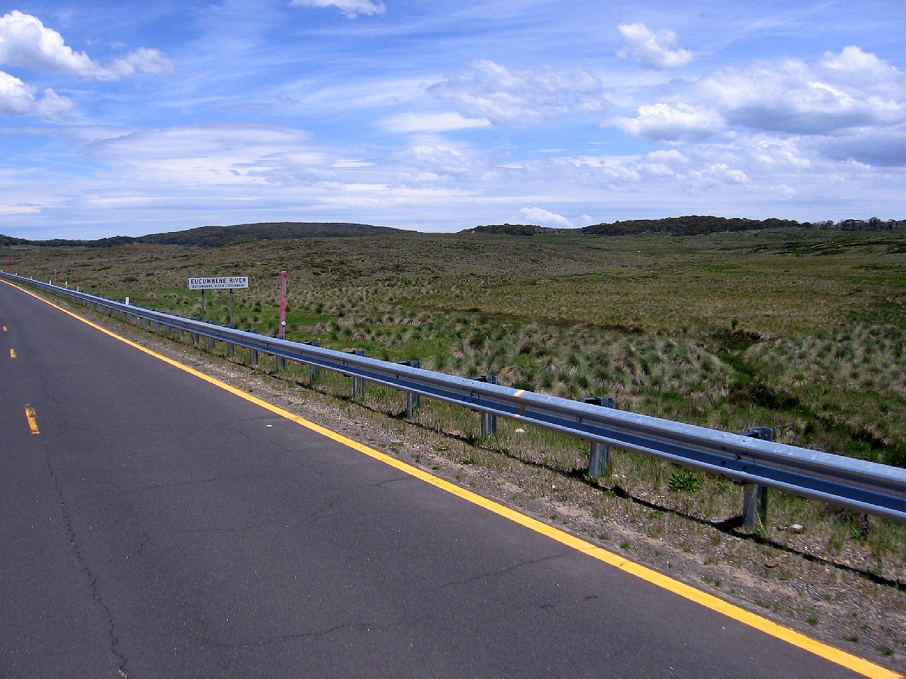
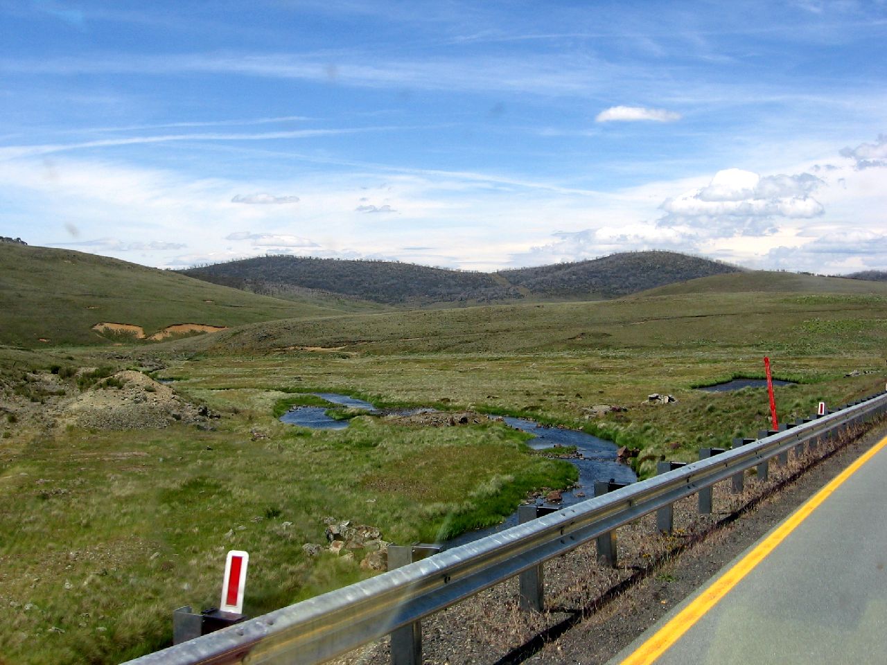
| The turn to the snow resorts just before Kiandra | A section of the Eucumbene River near Kiandra | |
|
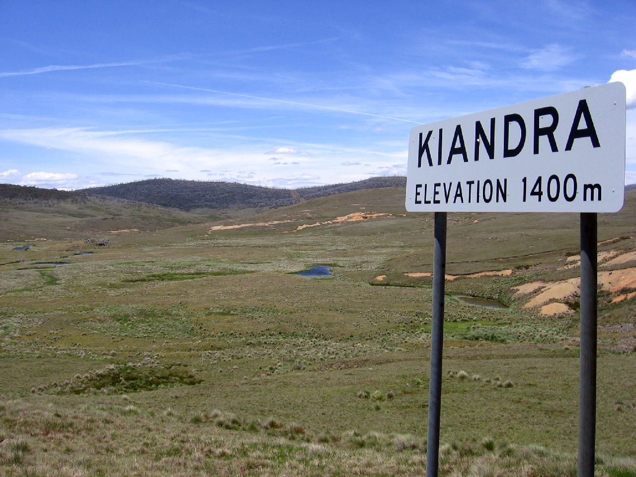
We pulled off to the side of the road near the Kiandra sign
below. The wind was blowing across the plain but it wasn't unpleasant. |
||
| 11.43am | ||
 |
||
| We could see people in a 4WD vehicle on the banks of the Eucumbene River a long way in the distance. | ||
| 11.44am | 11.45am | 11.46am |
 |
 |
 |
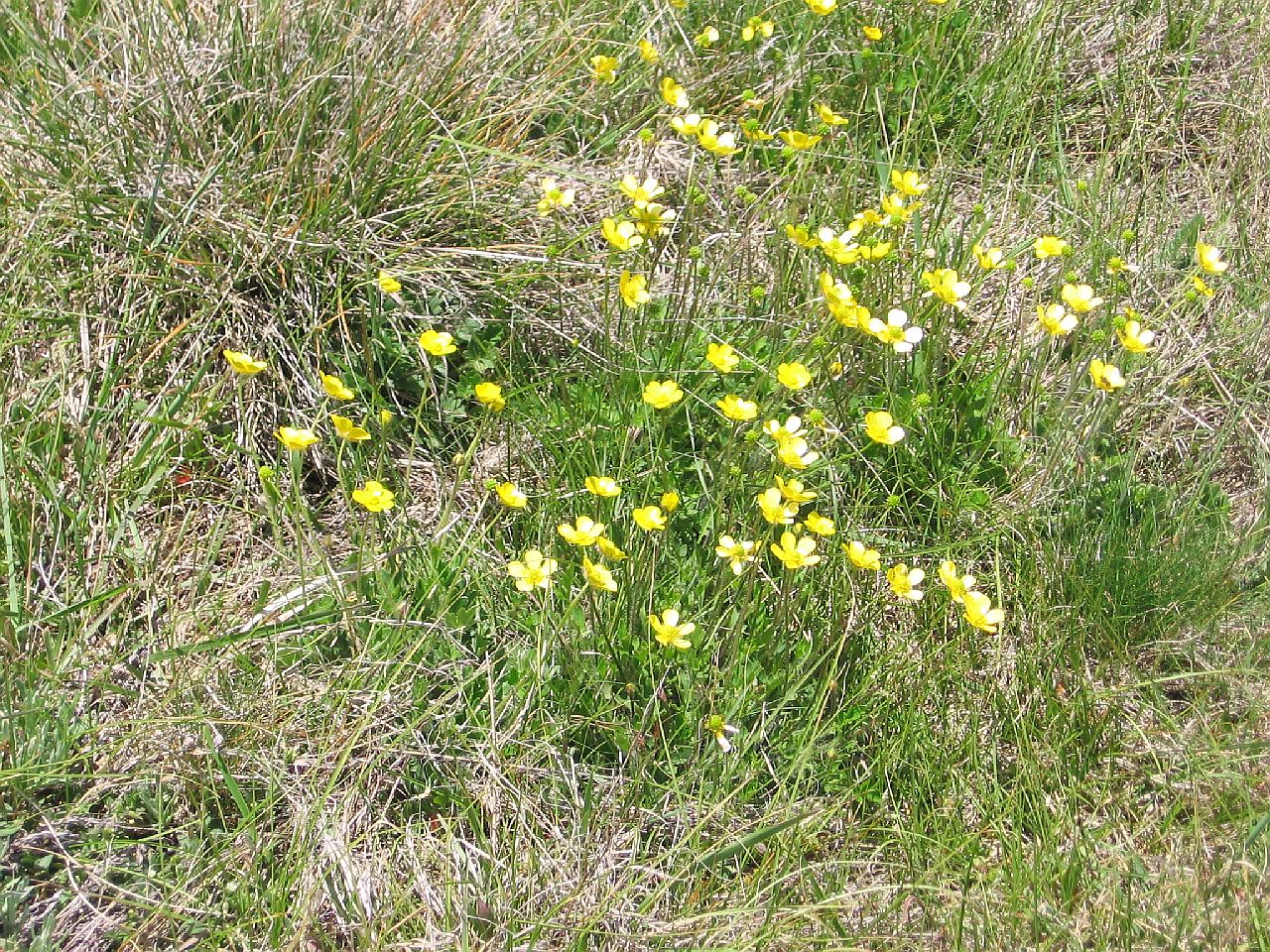
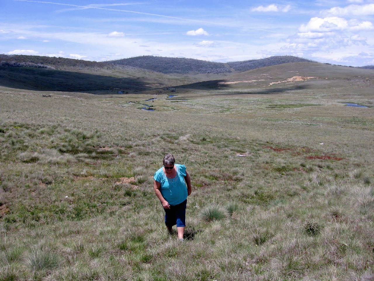
| Judy decided to go for a wander and took a picture of the yellow flowers below. | ||
| 11.48am | ||
 |
||
| Coming back up was way harder on Judy's knees than going down! | ||
| 11.50am | ||
 |
||
|
KIANDRA - ADAMINABY |
||
|
Kiandra no longer exists as a town. It's now just remains.
|
||
| 11.56am | 11.57am | |
 |
 |
|
|
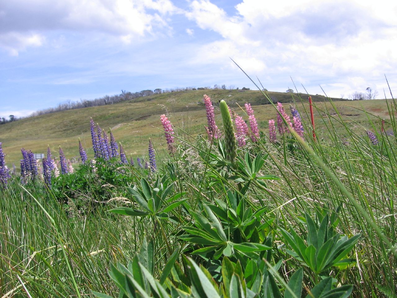
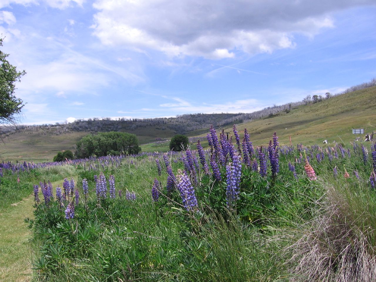
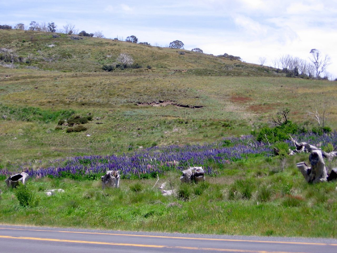
Around the general area of Kiandra were Lupins. Judy took some shots of them. We assumed they were left from the time people lived and worked in the town. |
||
| 11.58am | 12.00pm | 12.00pm |
 |
 |
 |
|
In the distance were headstones. We didn't go up to the site but after researching, found it was the Kiandra Cemetery. Here is a link to details. |
||
| 12.01pm | 12.02pm | 12.04pm |
 |
 |
 |
|
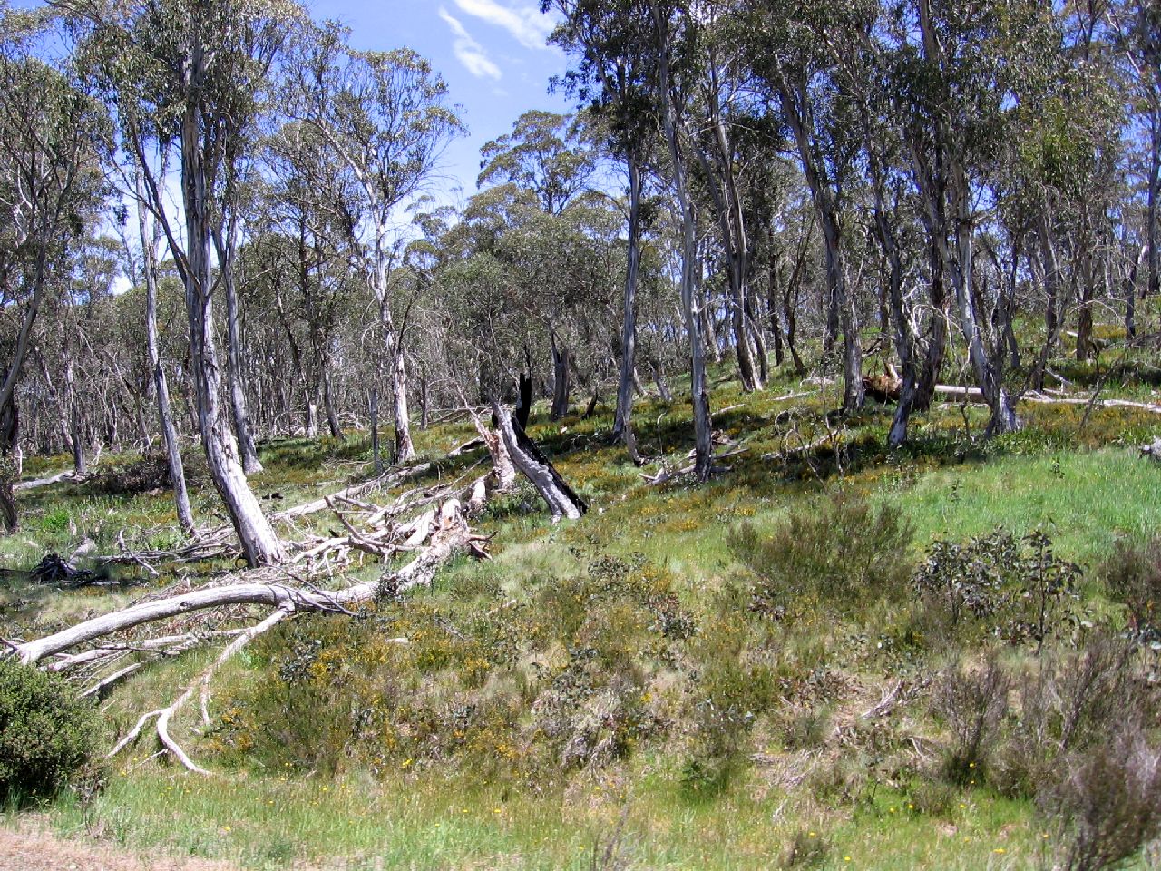
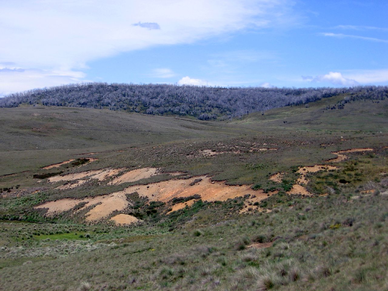
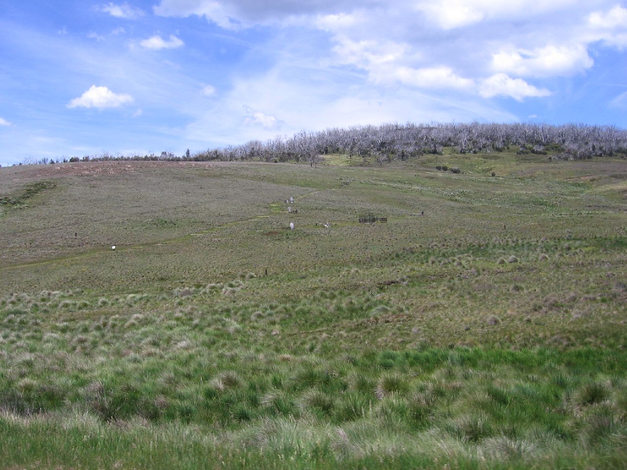
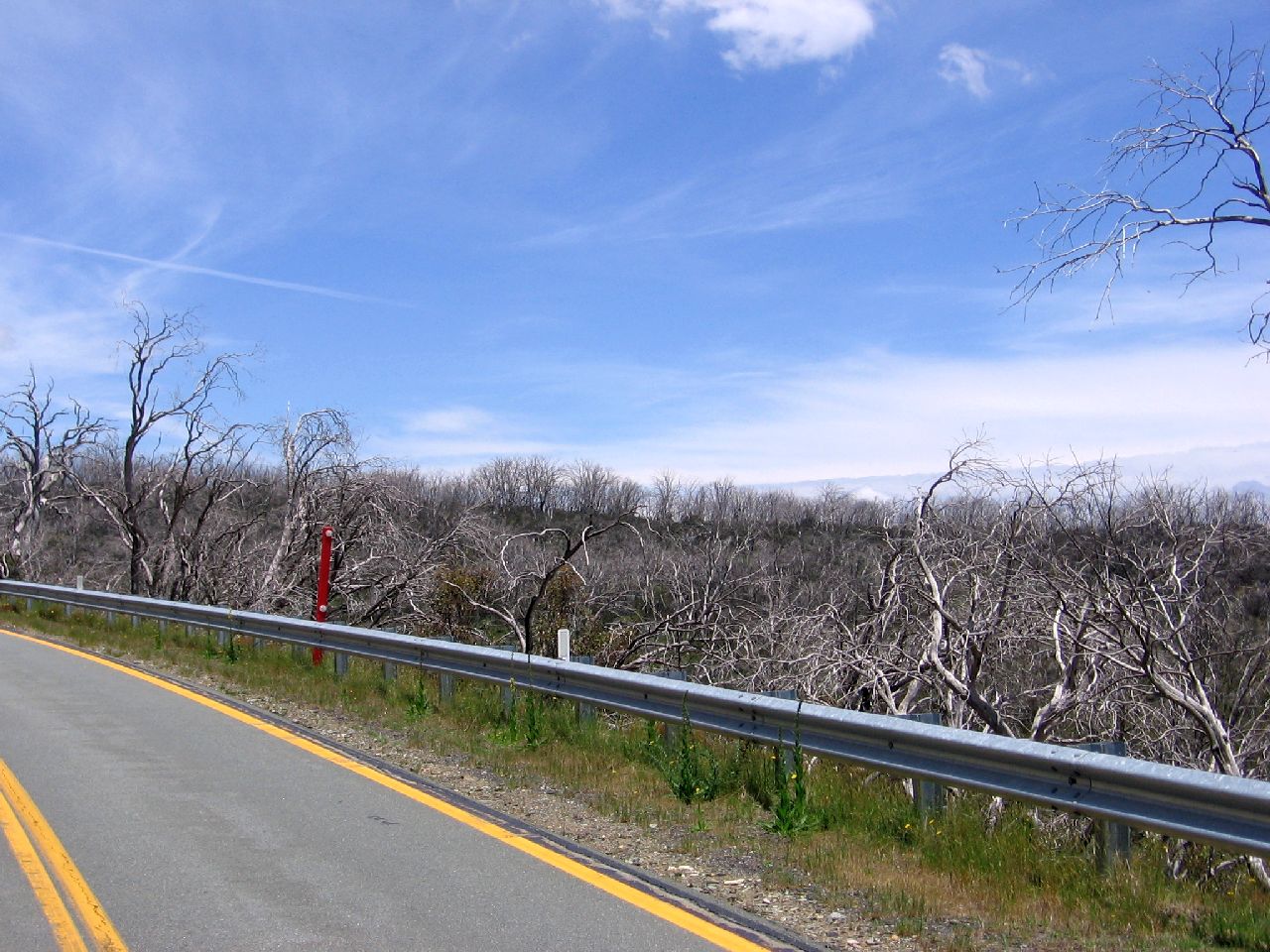
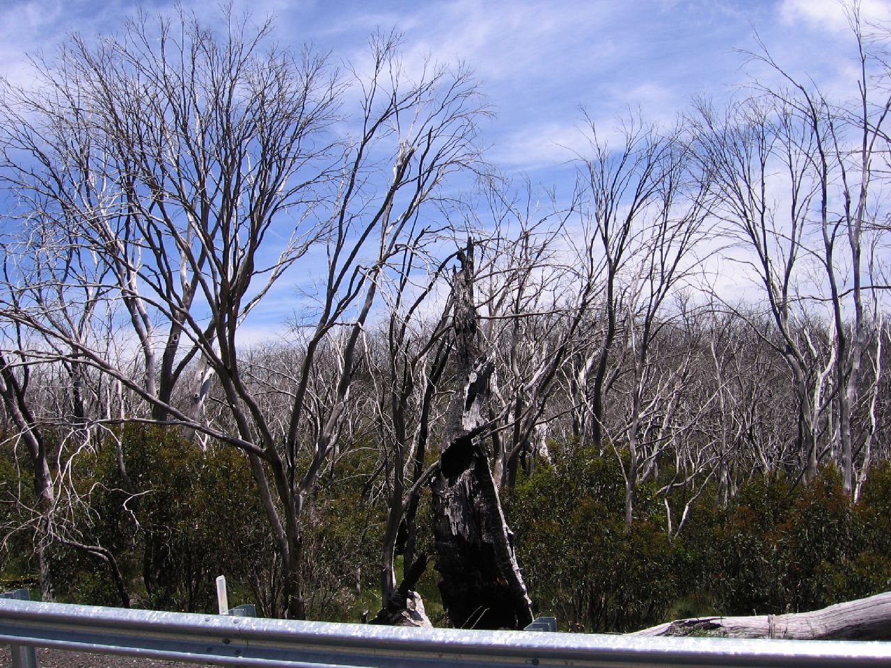
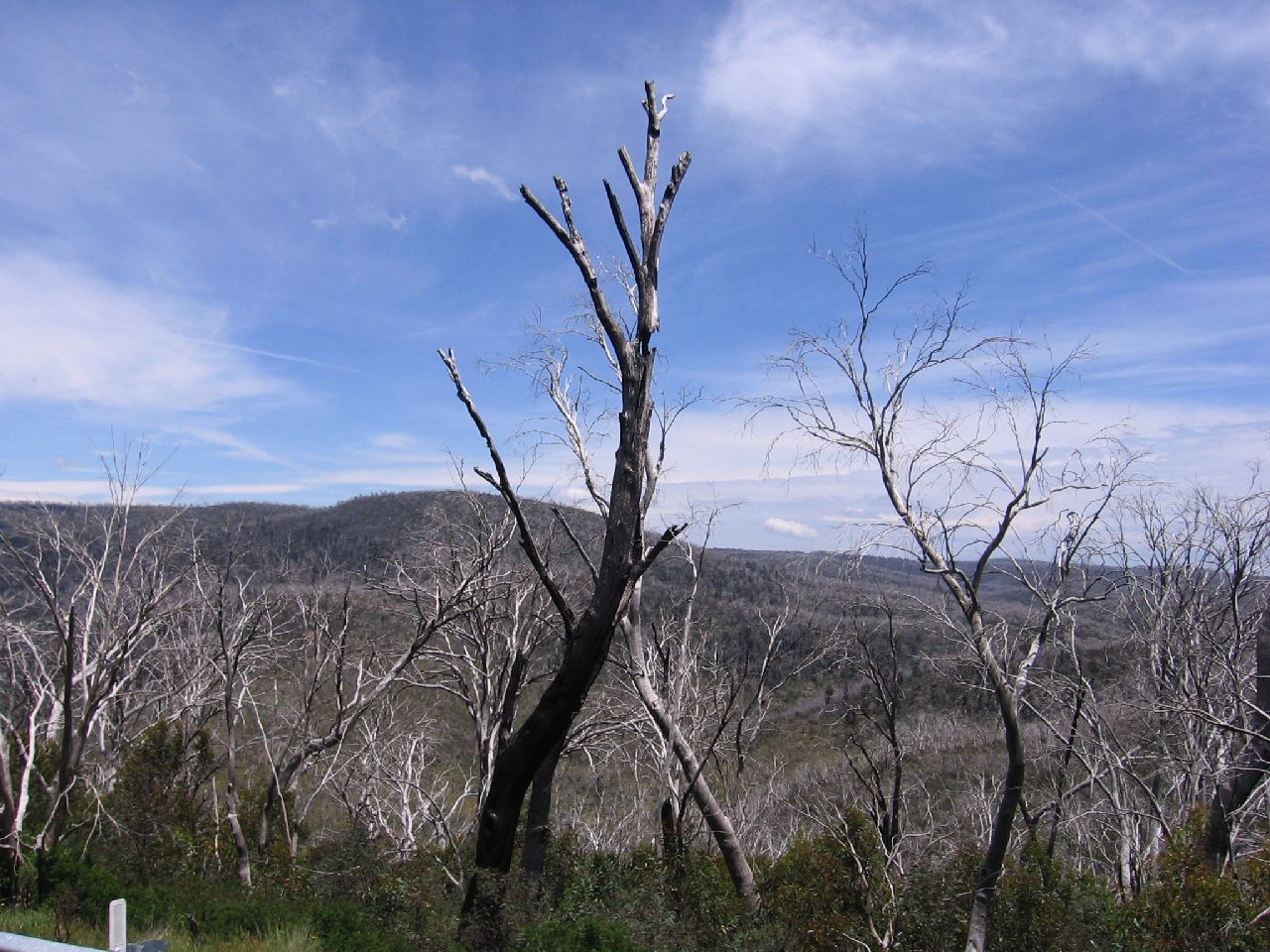
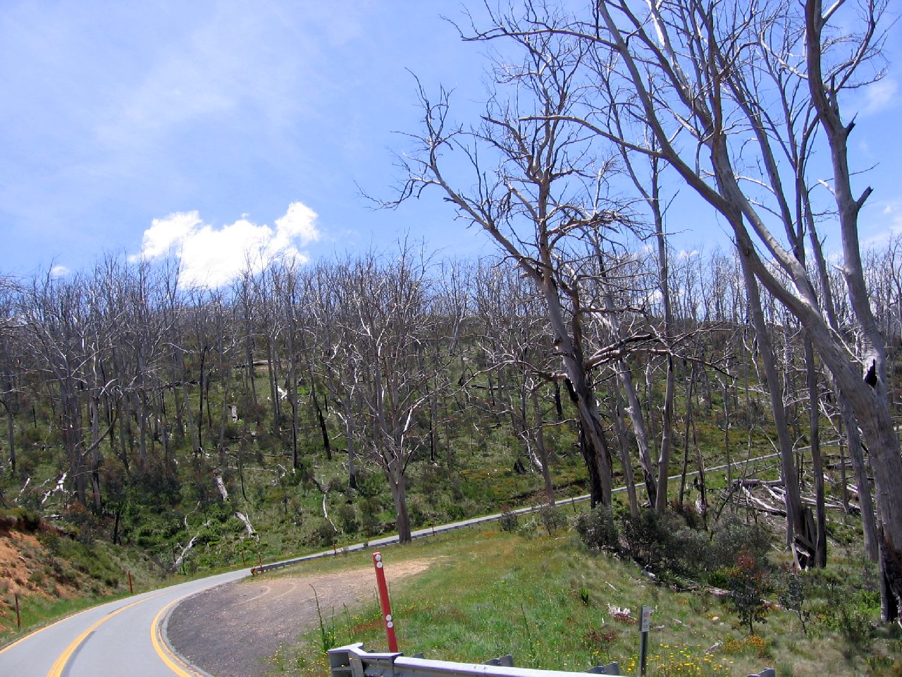
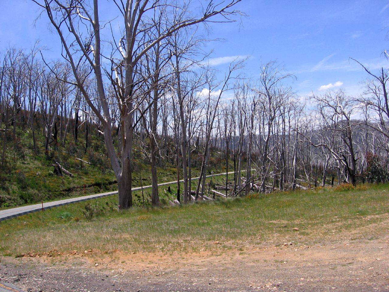
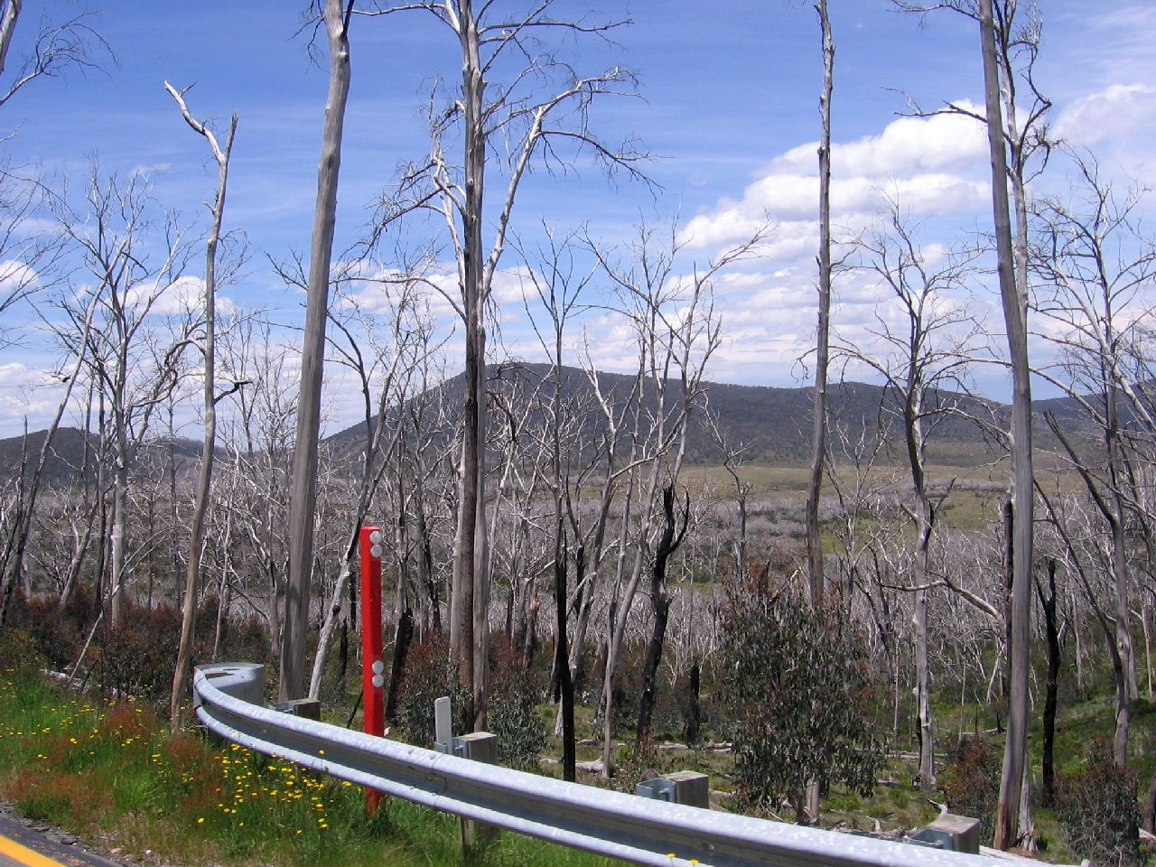
We continued along the Snowy Mountains Highway. The road climbed towards what looked like a sea of silvery skeleton trees. It turned out the trees were dead and had silvery ground cover around them. Obviously something killed the trees en masse as there was a huge area of dead young and old trees. After doing some searching on Google, the story seems to be that a fire in 2003 was the cause.
|
||
| 12.04pm | 12.04pm | 12.04pm |
 |
 |
 |
|
Above is the view looking back towards Kiandra over the Eucumbene River. A beautiful sight in it's own way. |
||
| 12.05pm | 12.06pm | 12.06pm |
 |
 |
 |
|
The shots above and below illustrate the damage done. It was a very
eerie feeling driving through such a large area of dead trees. Underneath the skeletons is new lush growth luckily. It must have been a very large, hot fire. |
||
| 12.07pm | 12.08pm | 12.08pm |
 |
 |
 |
| 12.08pm | ||
 |
||
|
We started the descent to Adaminaby. Even though it was fairly gradual, I had to change down gears and tap on the brakes. I started to smell burning, so decided to stop, let the dogs have a pit stop and check the Daihatsu and the caravan. It was hard to pinpoint the location of the smell but after the use of the brakes fairly regularly, I decided it was just brake pads heating up. |
||
| 12.42pm | ||
 |
||
|
ADAMINABY - COOMA |
||
|
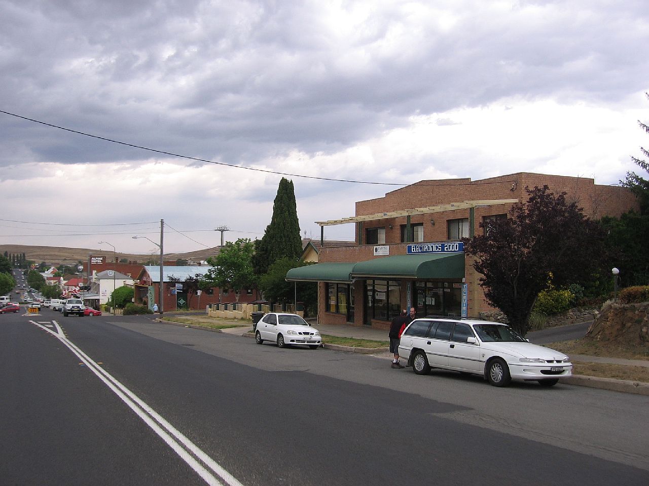
We hadn't eaten since Talbingo, 5 hours before, so decided to check out the food shops in Adaminaby. We parked the Daihatsu with the dogs in it, in an area behind the shops. It was cool and the dogs seemed happy except for having an argument with a local dog behind a fence. We left them to their "fun" and walked back to the strip of shops. We had very little cash, so I went looking for a "hole in the wall". A local told me to go to the Post Office where they helped me out. They were very friendly. We found a nice little pastry shop and being so hungry, over bought. My memory is of relaxing, watching the locals, while eating a "Bee Sting" and a Pastie. Yum! So much for the Diabetes 2 !!
|
||
| 1.46pm | ||
 |
||
|
|
||
| 1.46pm | 1.46pm | 1.47pm |
 |
 |
 |
|
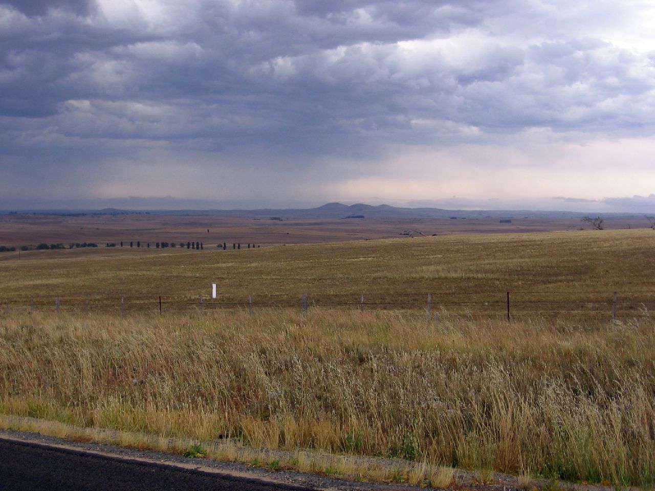
As we left Adaminaby, the overcast sky started to get darker. We drove generally uphill through green undulating countryside. |
||
| 2.26pm | 2.27pm | 2.37pm |
 |
 |
 |
|
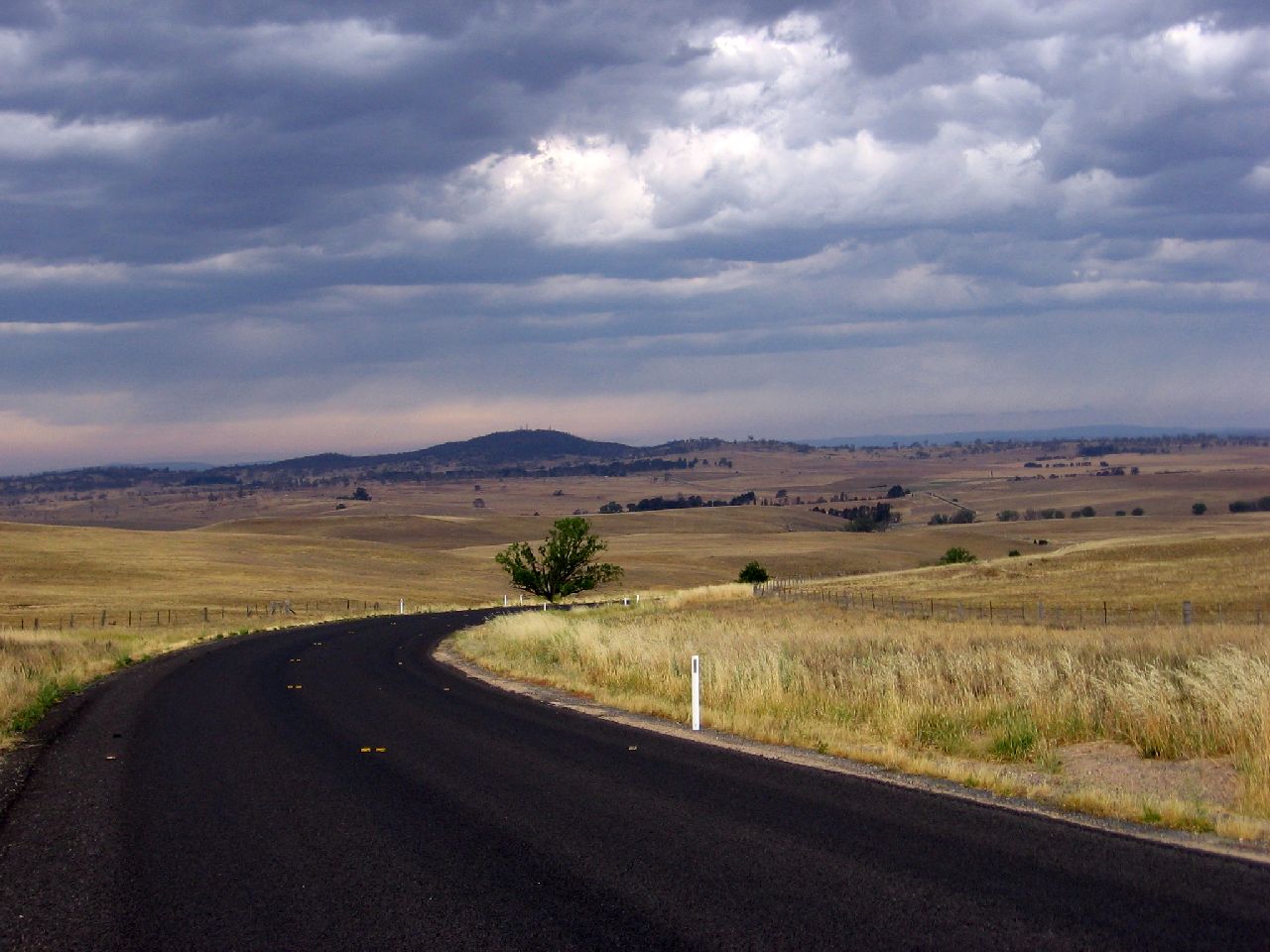
As we reached a high point, before us, around 25km out of Cooma, we saw a darker sky and showers. The weather had definitely turned cooler. A front was moving towards us. We knew we'd be in for a wet night. Our destination, from our Camps Australia bible, was to be a rest area at a place named Bemboka, still at least a couple of hours away. |
||
|
COOMA - NIMMITABEL - BROWN MOUNTAIN - BEMBOKA |
||
|
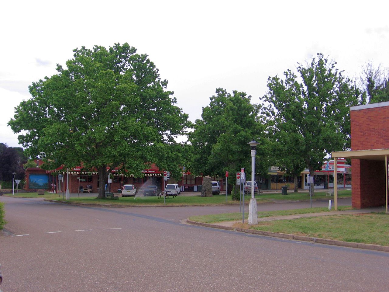
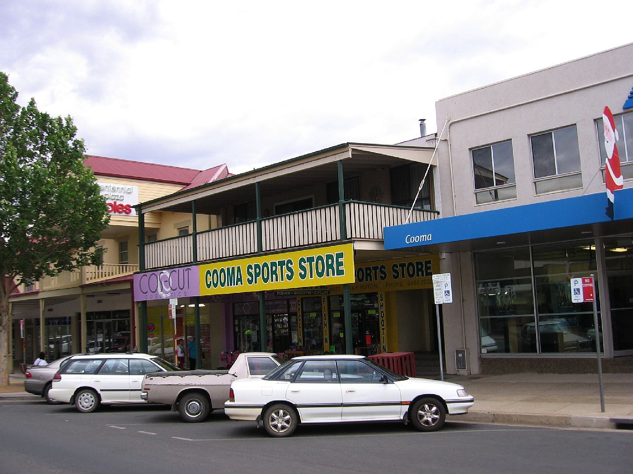
It was getting dreary as we drove through the town of Cooma. |
||
| 2.54pm | 2.54pm | |
 |
 |
|
|
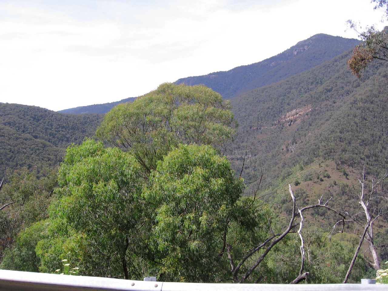
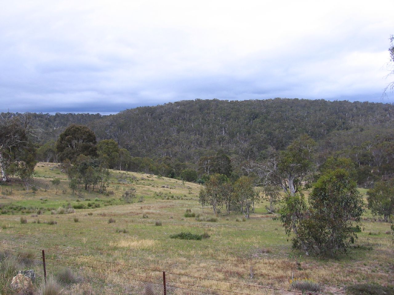
The Daihatsu made hard work of the road out of Cooma. On the road between Nimmitabel and Brown Mountain it started to drizzle. I pulled over, let the dogs out and we all had a pit stop and I took the picture below.
|
||
| 3.41pm | ||
 |
||
|
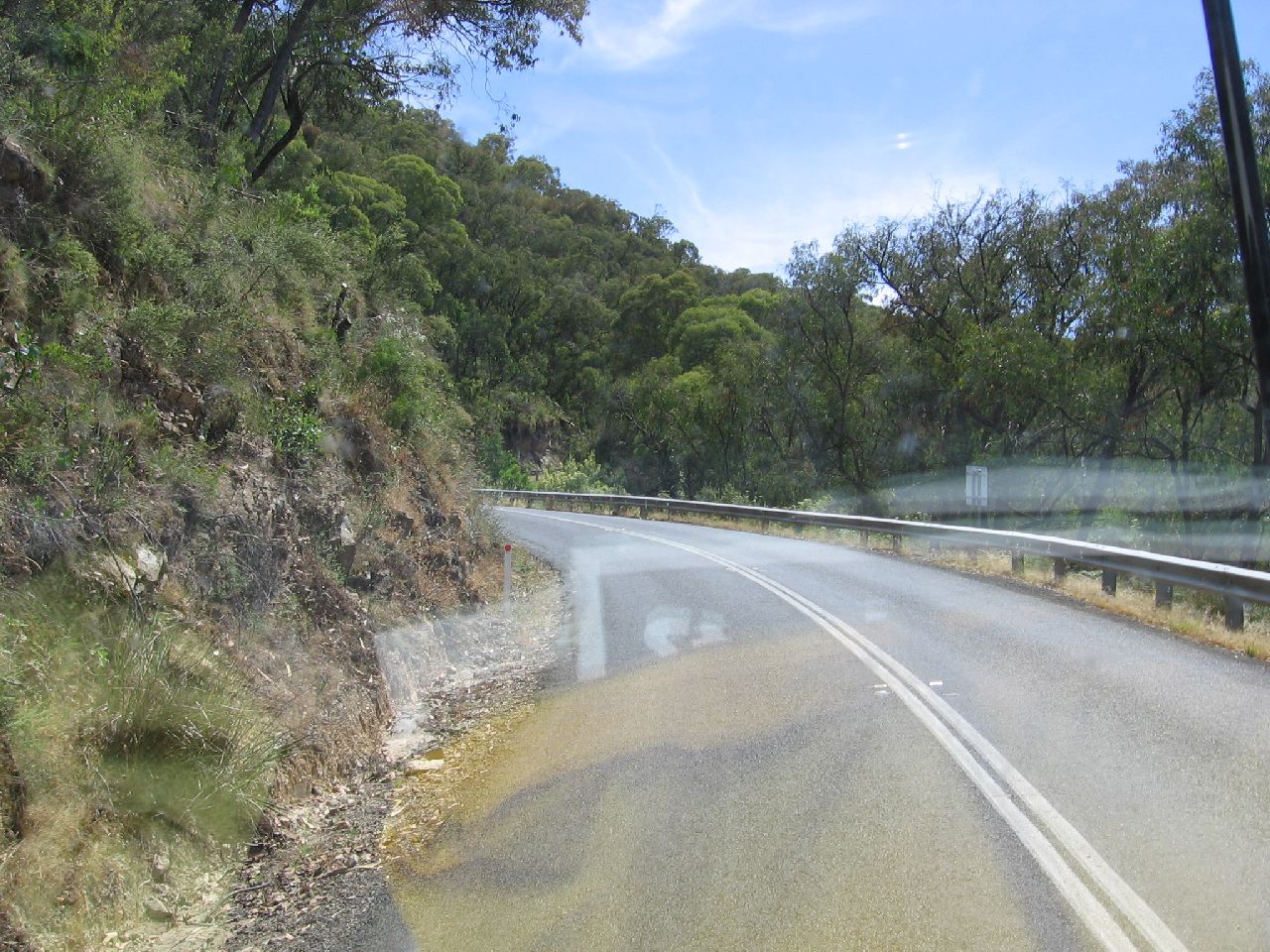
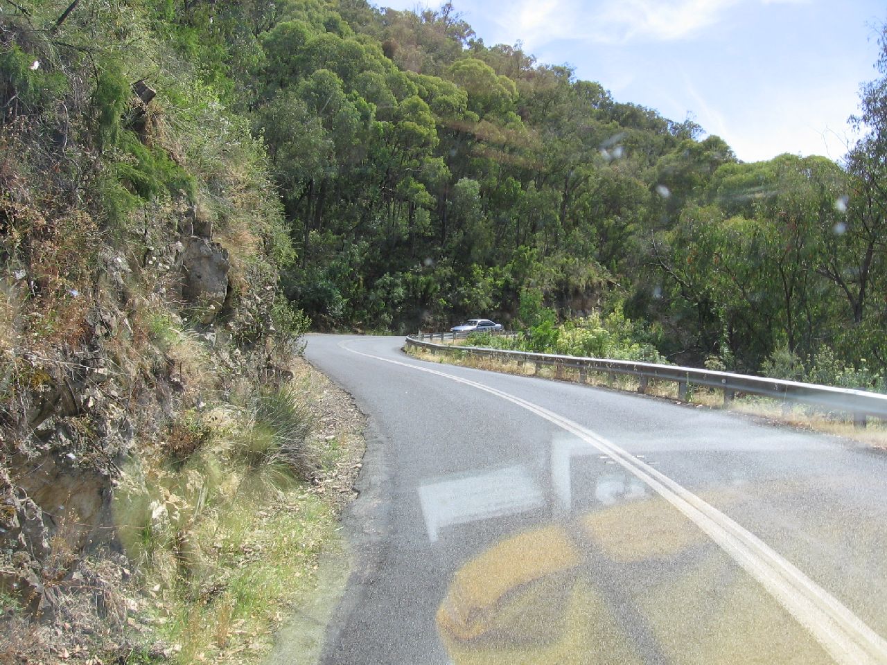
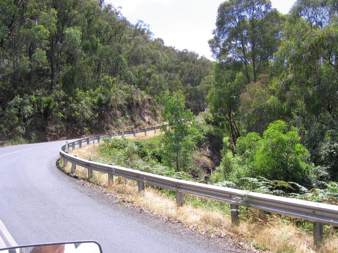
It wasn't long before we had our excitement for the day, as we descended from Brown Mountain to Bemboka. It was then I understood the warning the girls at the Oriental Hotel in Tumut gave me. The road dropped from 1150m to 200m above sea level in around 20km, so it was STEEP!! Judy took the pictures below as we
descended, as I changed down gears and guided the vehicle down the very
winding range. Phew !! From there onwards to Bemboka it was just a pleasant country drive.
|
||
| 3.59pm | 3.59pm | 4.08pm |
 |
 |
 |
|
Drizzle started as we drove into the Rest Area at Bemboka.
It was a very welcome sight. Covered picnic tables and coin operated
BBQ's. A clean toilet block with showers ( only cold, but you can't have
everything ) and best of all, we were the only campers there. As she waved goodbye, the first solid rain drops began to fall.
|
||
|
|
||
|
|
|
|
|
|
||