|
RUNNEYMEDE Area - 152.0445°E, 26.3219°S, 435m ASL
The rainfall ( in mm ) reported here is read from a commercial rain gauge mounted in the open on a post 2 metres off the ground at my 5 acre block of land.
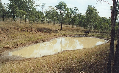
(1)
12.37pm - 21- 07- 2004 The dam finally dried up in late August. I hadn't taken a picture of the cracked base with the lobster remains when it rained and started filling again.
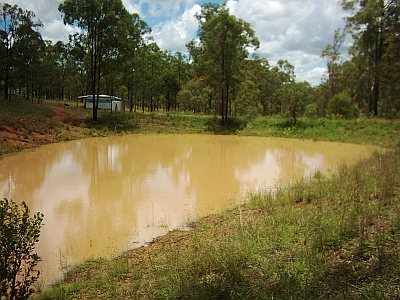
(2)
11.30 am - 11-12-2004
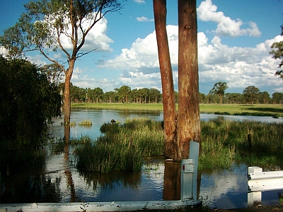
4.30 pm - 12-12-2004 Barkers Creek Lee's Bridge Flooding after the rain in the area and the headwaters, the Bunya Mountains
Readings are taken at 9.00 am |
||||||||||||||||||||||||||||||||||||||||||||||||||||||||||||||||||||||||||||||||||||||||||||||||||||||||||||||||||||||||||||||||||||||||||||||||||||||||||||||||||||||||||||||||||||||||||||||||||||||||||||||||||||||||||||||||||||||||||||||||||||||||||||||||||||||||||||||||||||||||||||||||||||||||||||||||||||||||||||||||||||||||||||||||||||||||||||||||||||||||||||||||||||||||||||||||||||||||||||||||||||||||||||||||||||||||||||||||||||||||||||||||||||||||||||||||
|