|
Fraser
Island is the largest
sand island in the world and is
in the state of Queensland on the east coast of Australia.

Hervey Bay is formed by the junction
of the mainland and Fraser Island.
There is some confusion over the term, "Hervey Bay". (
Pronounced as Harvey Bay )
Hervey Bay City consists of a series of suburbs, that were once fishing
villages. It has grown to encompass areas inland towards Maryborough, along the coastal
strip north to the Burrum River and south to the Mary River.
The population was around
3,000
when I first visited Hervey Bay as a child
in the 1950's and now , 2003,
is around 40,000.
The suburbs have built up along the beachfront of the physical formation
called a bay, which was named Hervey Bay
by Captain James Cook
in the late 1700's.
Of the earliest suburbs settled,
Pialba, Scarness,
Torquay and Urangan
became the business area suburbs.
Point Vernon
was settled early too but became a very popular residential area because
of the views across the bay to Fraser Island.
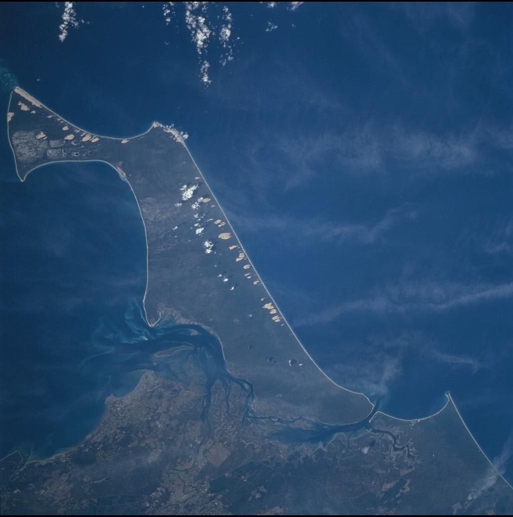
STS104-704-5.JPG of "HERVEY BAY, FRASER I., AUSTRALIA-Q
Image courtesy of Earth Sciences and Image Analysis Laboratory, NASA Johnson
Space Center
http://eol.jsc.nasa.gov
Other suburbs or areas that I am aware of
include Burrum Heads ( at the head of the
Burrum River ), Howard,
Torbanlea, Toogoom,
Takura, Dundowran,
Nikenbah, Kawungan,
Shelly Beach, Bingham and
River
Heads ( at the head of the Mary River
).
Because tourists were confused over where
the town/city of
Hervey Bay was, the Pialba
Post Office ( Australia Post ) was renamed as
Hervey Bay Post Office.
Fraser Island runs away to the north east of the mainland and part
of it is in the Hervey Bay City Council area.
Below is an excerpt from a previous
Urangan State High School
webpage. Obviously they researched the history
well.
Hervey Bay, a town created by the early
pioneers from England and Europe has certainly prospered since the late 17
hundreds. Being only 230 years old, Hervey Bay has a quite remarkable history
starting from the moment Captain Cook discovered Australia in 1770.
Hervey Bay actually originated with the
name 'Hervey's Bay', which Cook named in honour of his friend in England,
Captain Hervey, the Earl of Bristol. As Cook sailed up the east coast of
Australia, he passed what is now called Fraser Island, and mistakenly thought it
was a part of the mainland. But in 1799 Mathew Flinders discovered the passage
between Fraser Island and named Fraser, 'Great Sandy Island'.
Click on the pictures for larger
versions
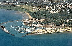
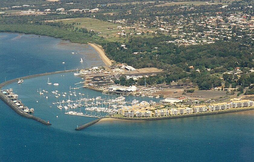
The Boat Harbour at Urangan.
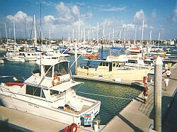
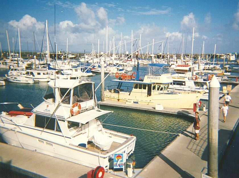
The Marina at The Boat Harbour
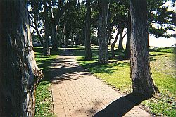
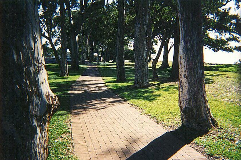
A section of the path running
the length of Hervey Bay from Point Vernon to
The
Boat Harbour.This lovely cool section is at
Urangan just near the retaining wall at the end of
Elizabeth Street.
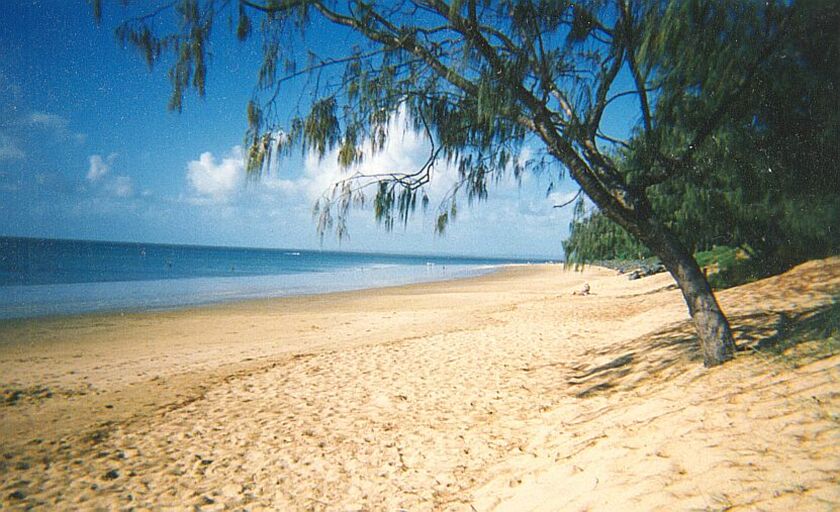
Torquay
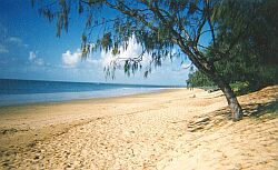
Shelley Beach
Fraser Island is just visible in the distance.
|