|
My Area - Distant Past Pictures Click on the pictures for a larger picture
|
 |
|
|
|
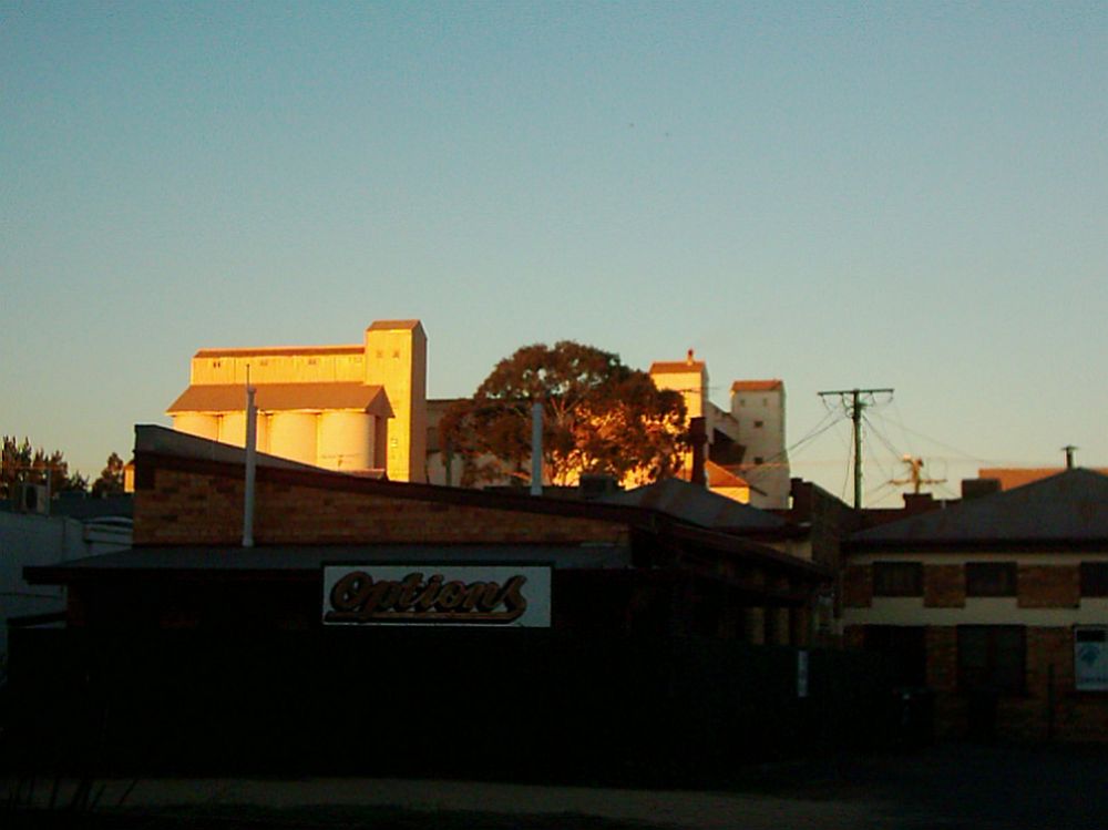
The Autumn sun shining on the Peanut Silos around
sundown.
Taken from Glendon Street |
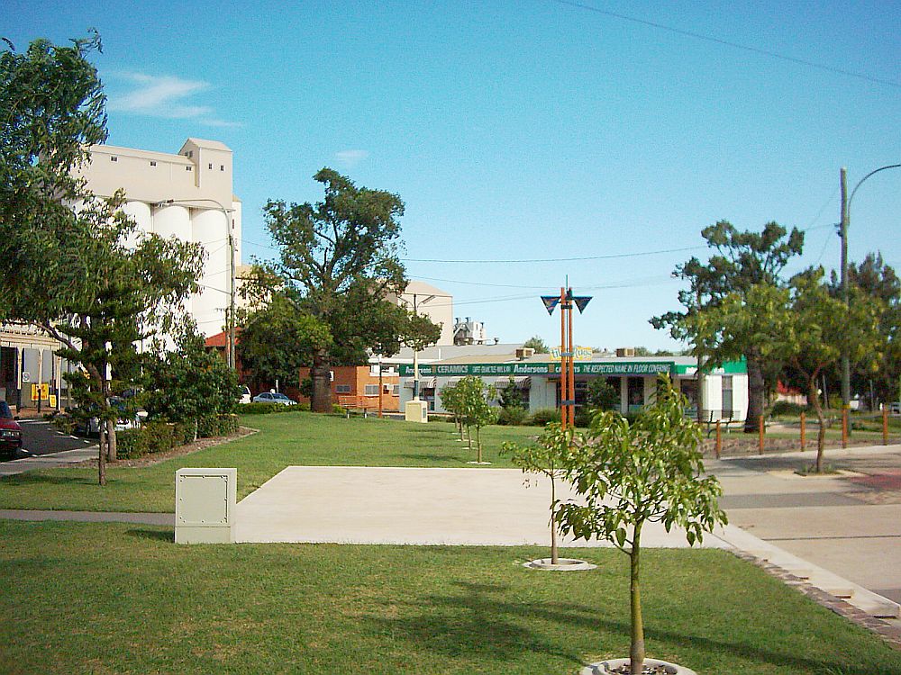
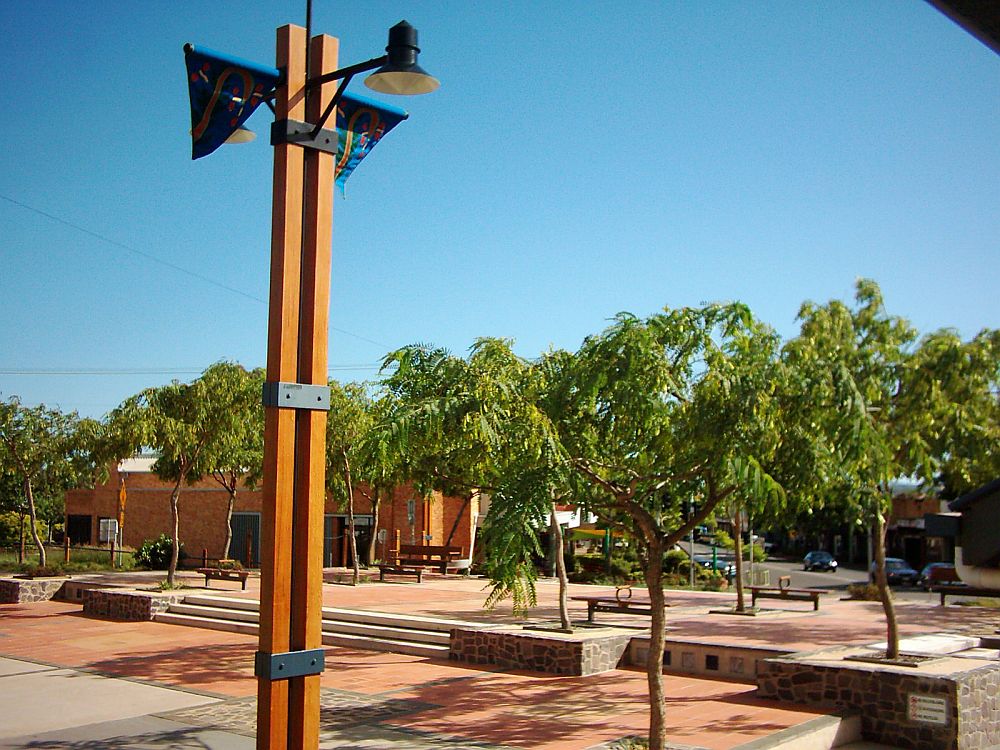
O'Neill Square
looking South East to Haly Street
and the Peanut Silos |
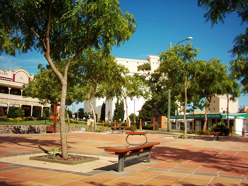
O'Neill Square looking South East to Haly Street and the Peanut Silos 2nd February 2004 |
 |
|
|
|
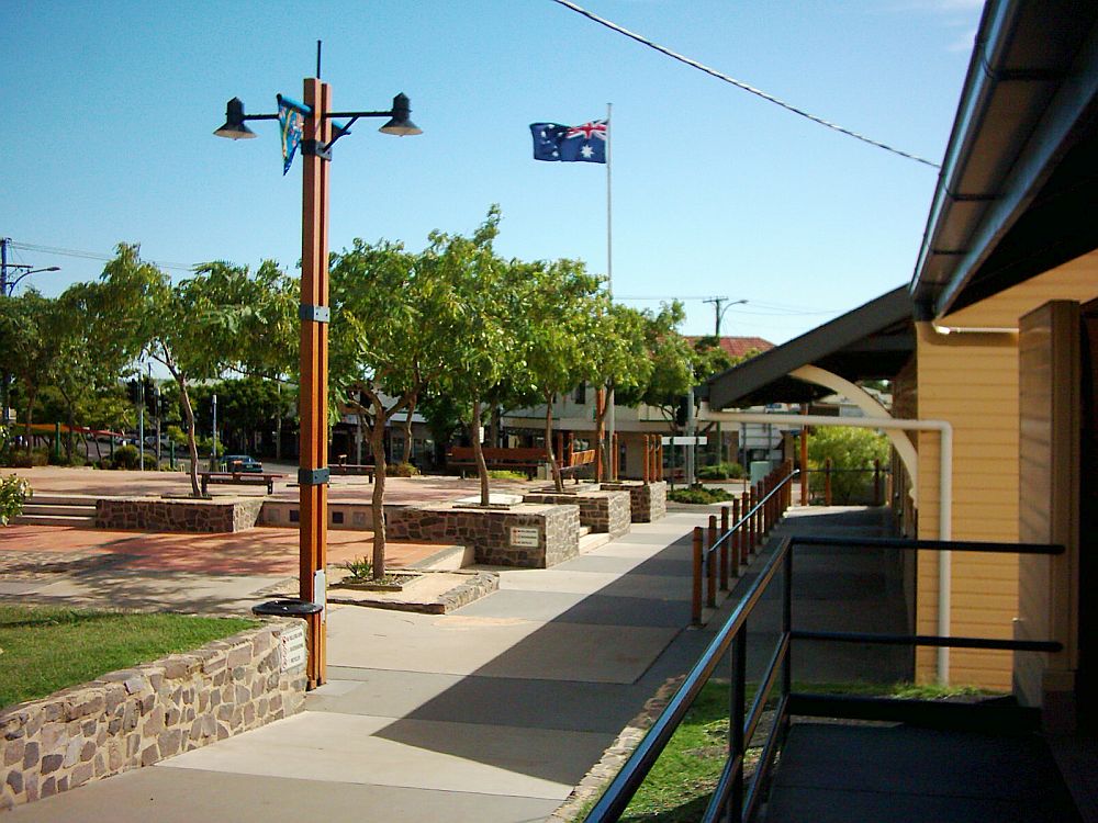
O'Neill Square
looking South East to Kingaroy Street 2nd February 2004 |
O'Neill Square
looking South to Kingaroy Street |
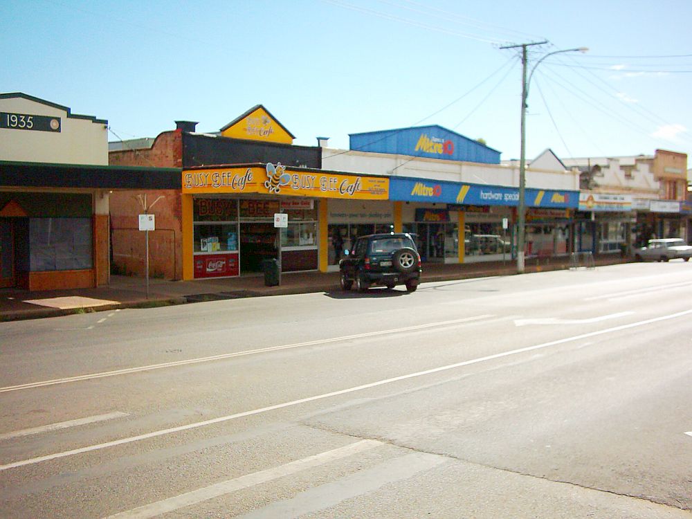
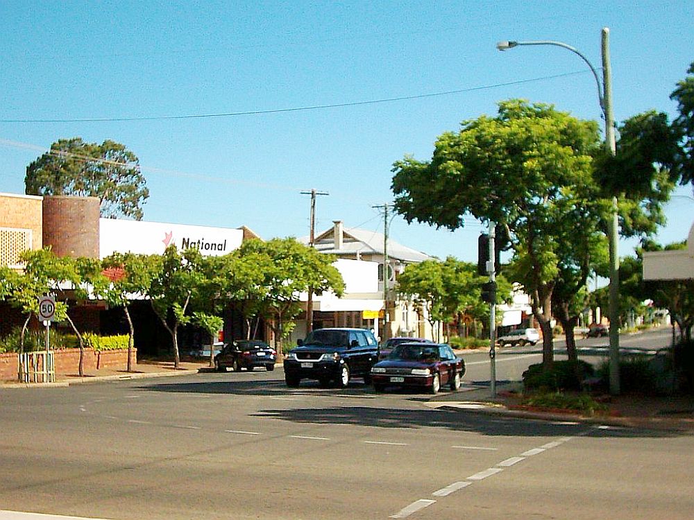
Eastern side of Kingaroy Street
looking South from O'Neill Square |
 |
|
|
|
Intersection of Haly and Kingaroy Street
looking South East |
Haly Street looking
South West from the 56 mile peg |
|
 |
|
 |
|
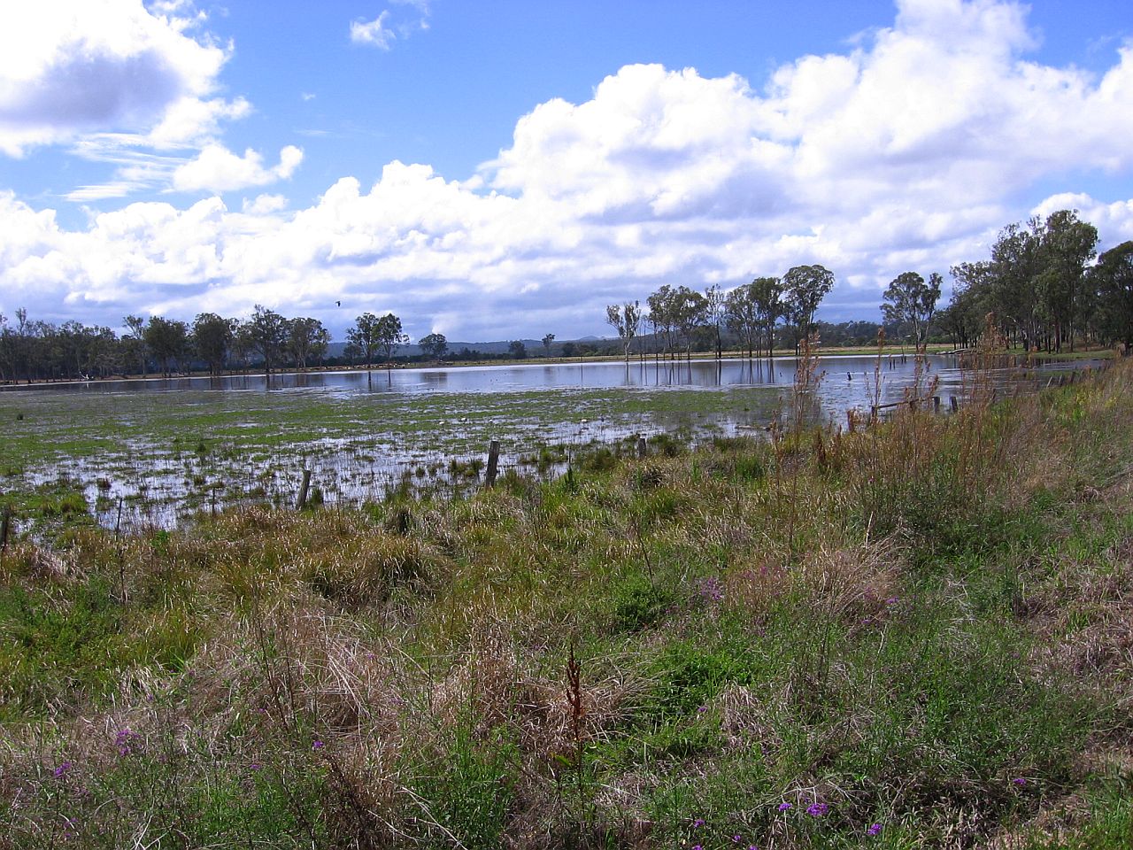
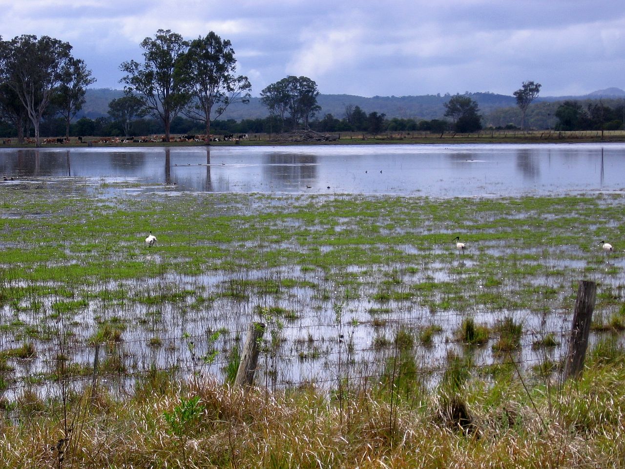
While travelling to Toowoomba, we passed what I've known for
years as "The Goodger Swamp", which is around 21km south
of Kingaroy on the
Kingaroy-Cooyar Rd. 26°43'50.42S 151°48'24.95E For years the "swamp" has been dry and I've seen cattle feeding where it used to be water. So, hopefully it's a sign of a return to better rainfall for the area. 10th November 2009 at 8.52am |
||